An As-Built survey starts from around $1,500 per site scan. The final quote is shaped by the size of the building, the number of rooms and levels, and the amount of detail required in the 2D drawings or 3D model. Single-storey residential interiors sit at the lower end, while multi-level apartments, commercial buildings, and infrastructure projects like bridges and streetscapes move progressively higher.
An As-Built survey is the precise measuring of the built environment, whether a building, streetscape, road, or neighbourhood. The process captures existing conditions and converts them into architectural drawings, 3D models, virtual walkthroughs, and immersive visualisations that AEC professionals use for renovation, coordination, and stakeholder presentations.
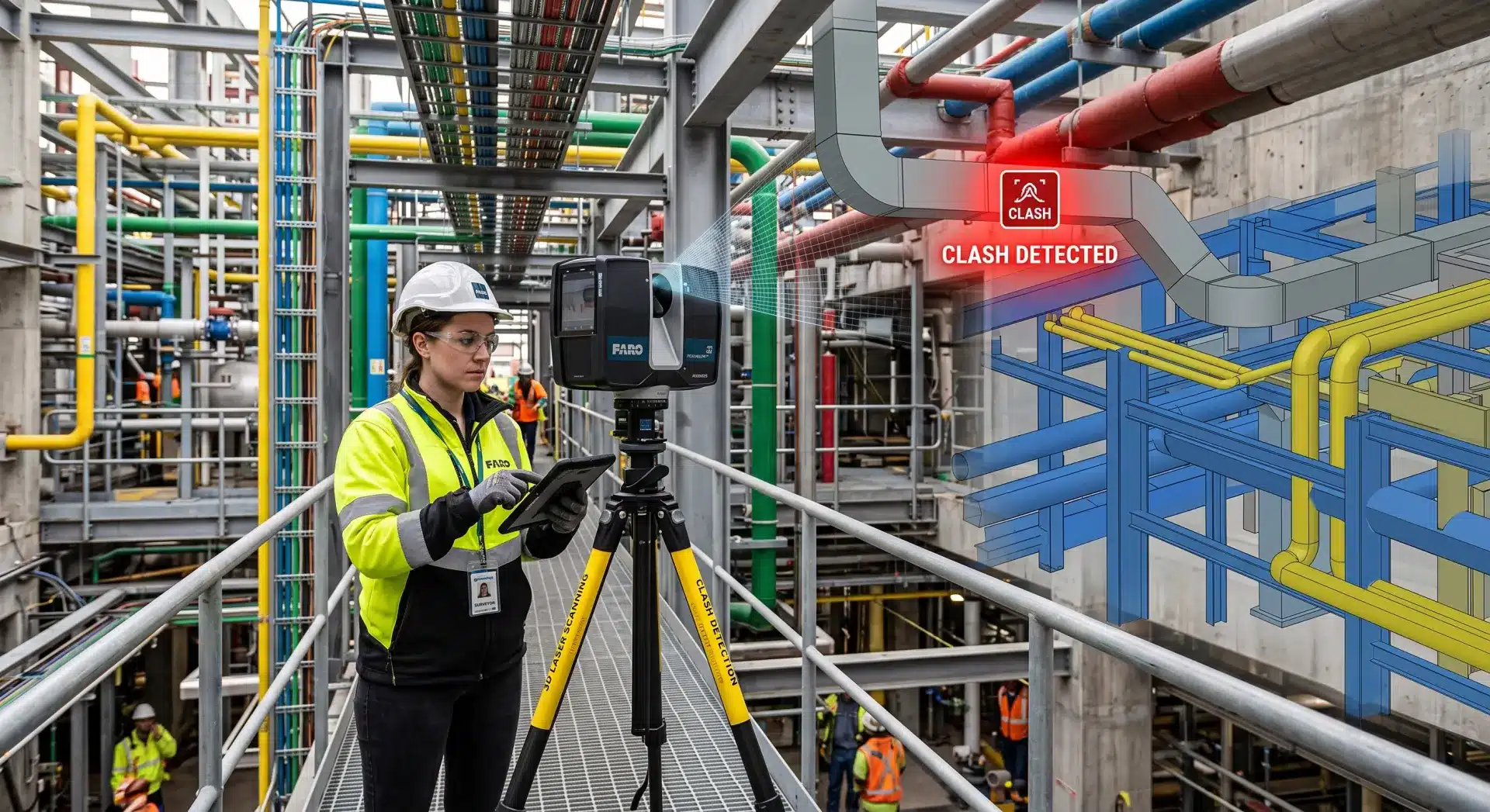
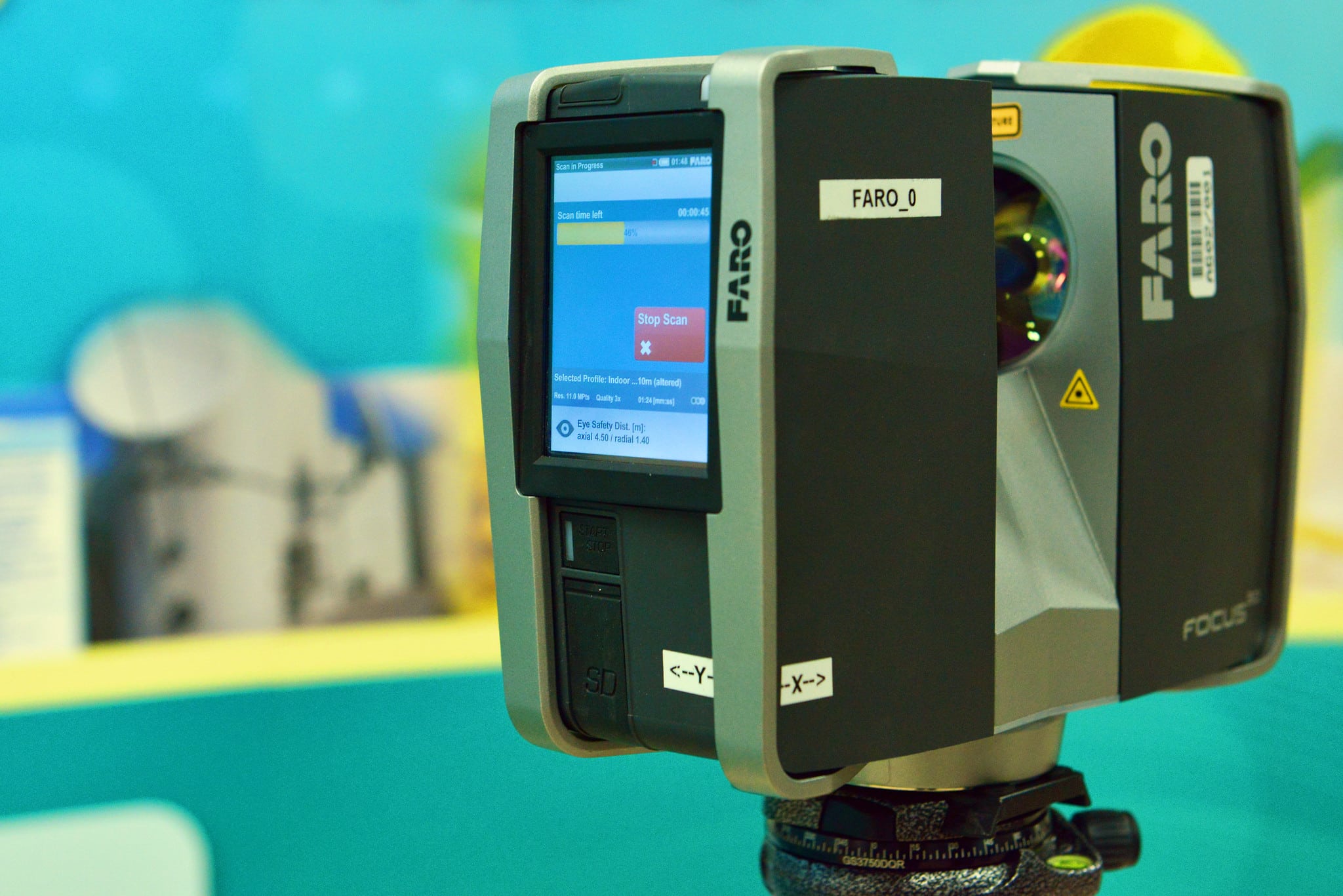
Capture method drives both accuracy and price. Drone surveying in architecture is fast for site context, but resolution and geometric accuracy can suffer in inexperienced hands. 3D laser scanning records the site with millions of laser light pulses, delivering higher accuracy and precision when the survey will feed CAD drafting, Revit modelling, or a virtual tour.
This guide breaks down indicative rates, the factors that shape the quote, and the questions to ask a laser scanning provider before signing a scope.
Table of Contents
Check out our 3D Laser Scanning Packages
So, what does it cost to get As-Built Surveys in Melbourne?
A quick search online would reveal a plethora of available options. However, finding a suitable partner who offers a complete solution from surveying to site scanning to drafting and 3D modelling is not as easy as you may think, and can be both time-consuming and confusing for many AEC professionals.
This As-Built survey cost guide is for you to find out how much it costs to get it done and what considerations are key to its cost estimate and success.
Drone surveying in architecture has made it easier to transform the built environment into 3D models and visualisations. However, to the inexperienced, this can be prone to poor resolution, low quality and fidelity in the resultant 3D models and lacking in geometric accuracy. Using 3D laser scanning provides higher accuracy and precision of existing conditions due to the measurements recorded by millions of laser light pulses.
The cost of As-Built surveys and drafting or 3D modelling depends on a lot of factors. The size of the building, number of rooms, levels and the amount of detail of the 3D model are key factors. Other aspects also contribute to the final budget, so let’s look at the factors affecting as-built surveys in Melbourne and examine the costs.
As-Built surveys Cost
According to our As-Built survey cost guide, you can get an as-built survey in Melbourne done from around $1,500 per site scan, but the final cost depends heavily on the scale of the job. A 3-bedroom townhouse, for example, is far quicker and cheaper to scan than a 15-level residential apartment complex. As a rough guide:
- Small residential: from around $1,500 per site scan
- Mid-size commercial: $4,000–$14,000 for full as-built documentation
- Warehouse and industrial: significantly higher, especially where comprehensive BIM modelling is required
The main cost drivers are the size of the building or structure and the number of areas to be scanned.
Below is a table with indicative time and cost for common site scanning projects.
Type of site | Time onsite | Cost (exGST) |
Interior single storey (Residential) | 1 day | $1350 |
Interior double storey (Residential) | 1 day | $1600 |
Façade (Residential) double storey | 1 day | $1350 |
Multi-level apartments (<10 units) | 2 days | $3200 |
Multi-level apartments (<20 units) | 3 days | $5800 |
Commercial Retail Store <1500sqm | 1 day | $1600 |
Commercial Warehouse ~2400sqm | 1 day | $1800 |
Commercial Building (2-3 levels) | 1-2 days | $3200 |
Road or Rail Bridge | 1 day | $3600 |
Roof Trusses and Steelwork | 1 day | $1800 |
Multi-level car park (<10 levels) | 2 days | $3200 |
Multi-level car park (<20 levels) | 2-3 days | $5800 |
Streetscape or Neighbourhood | 1-2 days | $3200 |
What happens after the scan
Once the site scan is complete, the point cloud is downloaded and processed so that the many individual laser scans come together into an accurate reflection of the as-built environment. This involves:
- Aligning the individual scans so they connect correctly
- Cleaning the data to remove errors and noise
- Quality controlling the result for accuracy
Noise is common around highly reflective surfaces such as windows and mirrors, where reflected lasers create extra points that need to be cleaned up.
Faster processing with AI
A development worth noting since our last update: AI and machine learning tools are now being used to accelerate point cloud processing.
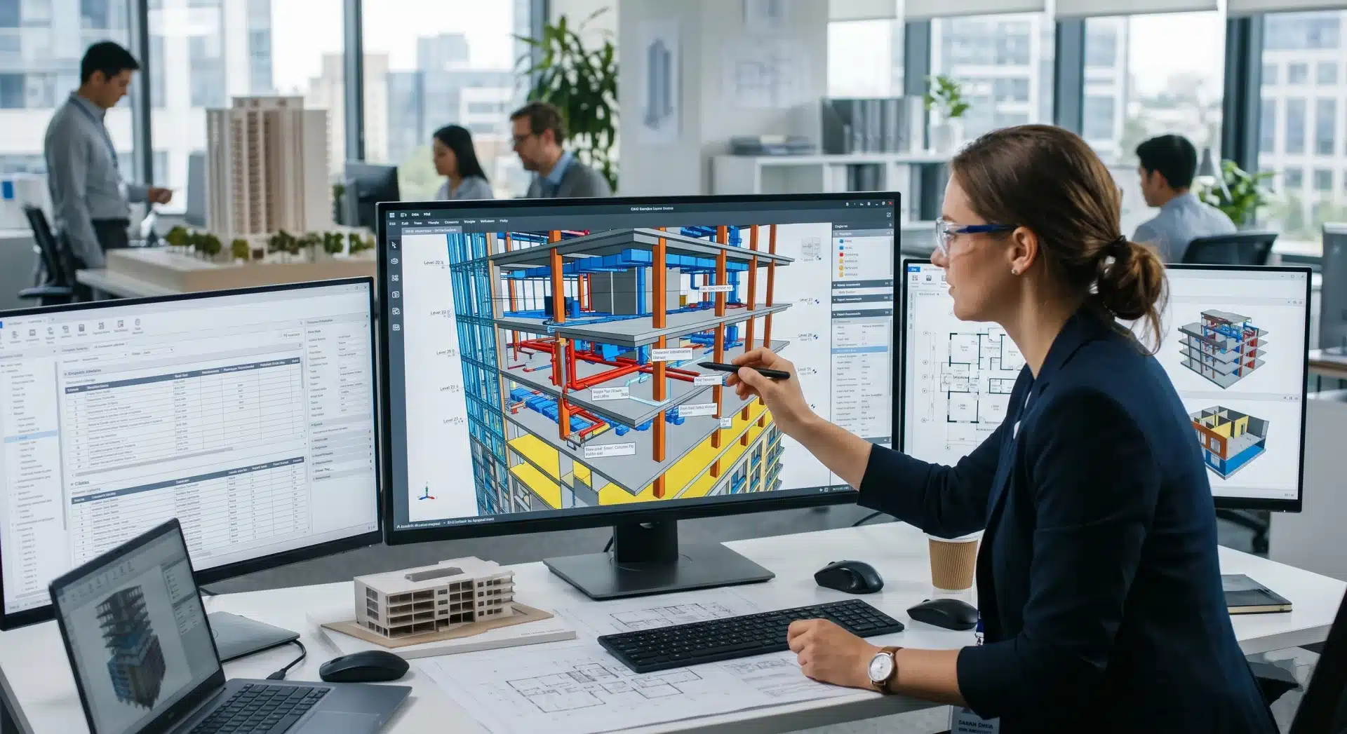
Machine learning algorithms can assist with object classification, analysing clusters of points and sorting them into building elements such as beams, pipes, walls and floors. This reduces the manual modelling time needed to produce a Scan-to-BIM deliverable and improves turnaround on complex projects. The quality control step, however, remains essential and is always carried out by our team.
Get the most out of your As-Built Surveys
As an architect, there is nothing more satisfying than seeing your designs come to life. With 3D models and renders, you can transform your design blueprints into interactive, immersive models that impress your clients and help them understand a space before construction begins. A good render lets the client:
- Walk through the design and get a feel for the environment you are creating
- Gauge real dimensions and how the space will actually work
- Understand how the finished building will look, well ahead of build
The value continues after construction
The benefits don’t stop at design. As-Built survey data is increasingly used as the foundation for digital twins: living digital representations of buildings that keep providing value across the whole asset lifecycle. Scan-to-BIM is no longer reserved for special projects; it has become a standard way for Australian construction and facilities teams to capture, understand and manage their assets. From a single accurate model, facility managers can:
- Monitor energy consumption
- Track maintenance needs
- Plan renovation and refurbishment work
Recognising the benefits
Because the payoff spans design, documentation and long-term asset management, it’s worth weighing the as-built survey costs covered in this guide against these benefits before you talk to a vendor. If you’re considering bringing 3D laser scanning into your own business, two things matter from the outset:
- Your target client, and the type of work you want the technology to win
- How you intend to introduce the solution into your workflow
Both are key to a good ROI. To make the decision easier, we’ve compiled a checklist to help you find the right 3D laser scanning solution.
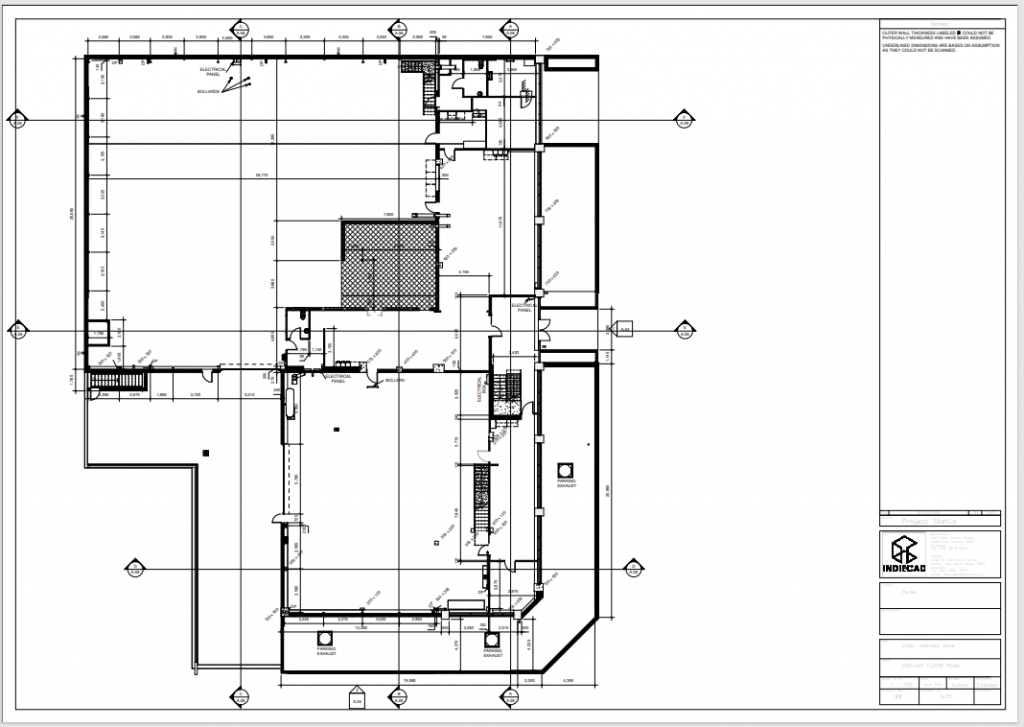
How do we create a 3D model or 2D plans from the As-Built survey?
To create a 3D model or 2D plans/drawings, we need the following:
- A site address or location
- Drawings or markups showing the areas to be included and excluded from the site scan, including area dimensions and site features (i.e. number of rooms)
- Desired file formats and software to be used to view/edit the files
- An idea of the intended uses for the outputs, so we can align our work
- Access to the site to conduct the site scan
- Patience for our quality control process to ensure optimal outcomes are delivered
To create 3D models from plans/drawings, we need the following:
- A copy of the plans and drawings in both CAD and PDF (if possible)
- An idea of the level of detail you require, and if you want realistic textures and lighting included
- A design brief that includes as much detail about the building and its elements
- Any reference images or samples of similar buildings or elements you wish to include
- Time to digest and create the 3D models
It’s also worth noting that in 2026, Scan-to-BIM has become the standard workflow for converting point cloud data into usable building models. Scan to BIM is the process of converting laser-scanned point cloud data into a Building Information Model, most commonly built in Autodesk Revit, and is now one of the most widely used BIM applications for existing buildings in Australia, used for renovation planning, facility management, infrastructure upgrades and increasingly as the foundation for digital twins. If your project requires a Revit model rather than raw point cloud files or 2D CAD drawings, let us know at the briefing stage so we can plan accordingly.
Why work with Avian
We take the time to understand your project and build a solid end-to-end execution plan, and we offer the full suite of services in-house:
- Site scanning and land surveying in Melbourne
- Drafting and 3D modelling
- Architectural renders
- Post-project sales and marketing
All delivered by an experienced team of surveyors, modellers, draftspersons and digital artists.
Finding the right partner to deliver 3D laser scanning services can be a tedious task. You might come across many companies that offer low rates but compromise on the quality of your scan or overall level of service.
Our laser scanning experts who prepared this as-built survey cost guide would highly recommend you do your research, ask for previous similar project examples and ask around about the service provider before hiring them. Here are some things you can ask the surveying or laser scanning company to see if they are the right match for your project.
- Do you offer associated services like surveying, drafting and modelling?
- Prior experience working with these types of assets or buildings
- What equipment and software would you use for this job?
- How much time does it take to create the desired outcomes?
- Can you capture additional items while onsite?
- How do you backup and transfer the resultant files?
- What is your quality control and assurance policy?
Reach out to our team for a fresh copy of the checklist or to book a free consultation.