Revolutionizing Engineering and Construction Projects
through Precision, Efficiency, and Safety
Our corridor mapping services are meticulously designed to empower Engineering, Construction, Traffic Engineering, and Infrastructure Managers with detailed, accurate and rapid data acquisition, ensuring your projects are always a step ahead in quality, detail and efficiency.
Use Cases:
Corridor Mapping for Diverse Applications
Our corridor mapping services are pivotal for a myriad of applications, including:
– Road/Rail Infrastructure
– Transportation and Traffic Planning
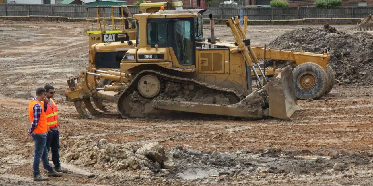
– Civil Construction
– Environmental Management
– Pipelines, and Utilities (Power Lines), etc
Key Features and Capabilities
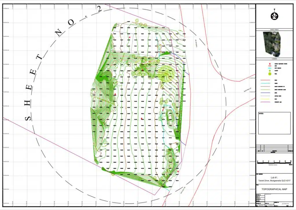
Precision Contours & Detailed Assessment
Achieve meticulous planimetric feature extraction, precision contours, and a decimated TIN mesh, ensuring every detail of your project is captured with utmost accuracy.
Fast Turnaround & Efficient Data Management
Leverage our faster turnaround times and seamless integration with CAD, BIM, and GIS, ensuring your data is always accessible, accurate, and ready for decision-making.
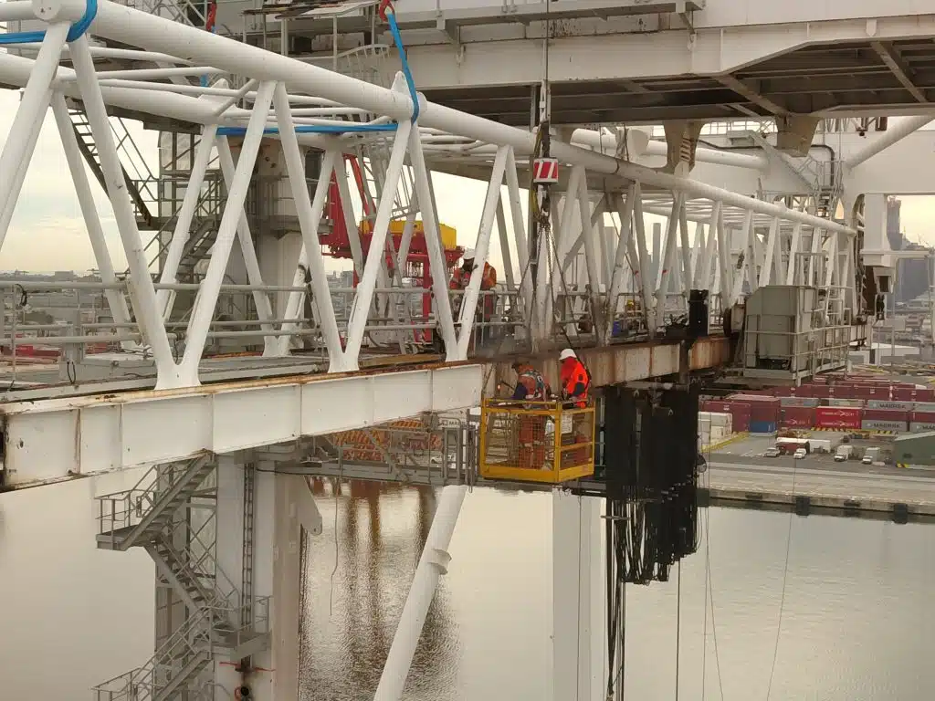
Enhanced Safety & Reduced Time
Minimize field surveying time and enhance safety with our drone technology, ensuring your team’s safety and project timelines are always prioritized.
Benefits
We invest in the latest technology, including advanced drone surveying and aerial mapping services, continuously train our team, and uphold the highest standards of precision and documentation in all our land surveying work to ensure the success of your projects
Ensure your infrastructure management is always a step ahead with our detailed and accurate data, facilitating improved decisions, maintenance and asset longevity.
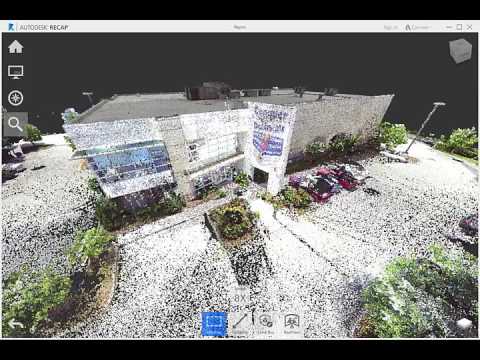
✓ Detailed Site Analysis & 3D Modeling
Gain access to updated as-built drawings, 3D models, and detailed site analysis, ensuring your project planning and execution is always based on accurate and reliable data
✓ Project Visualizations & Renders
Bring your projects to life with our project updates, site visualizations, renders and walk-throughs, enabling stakeholders to visualize the progress or outcomes before project commencement and throughout the project lifecycle.
Speak with the team at AVIAN to discuss your project needs. We love to solve complex problems using our combined knowledge and experience so let us know more about yours.