Avian Australia

Map reality, shape the future

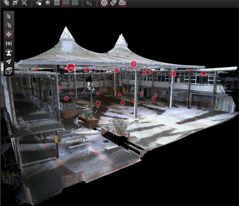
3D laser scanning & reality capture

Avian Australia is an end-to-end partner for laser scanning, surveying, inspection and reality capture across the architecture, engineering and construction sectors — turning complex sites into actionable data and digital twins since 2017.

Reality capture

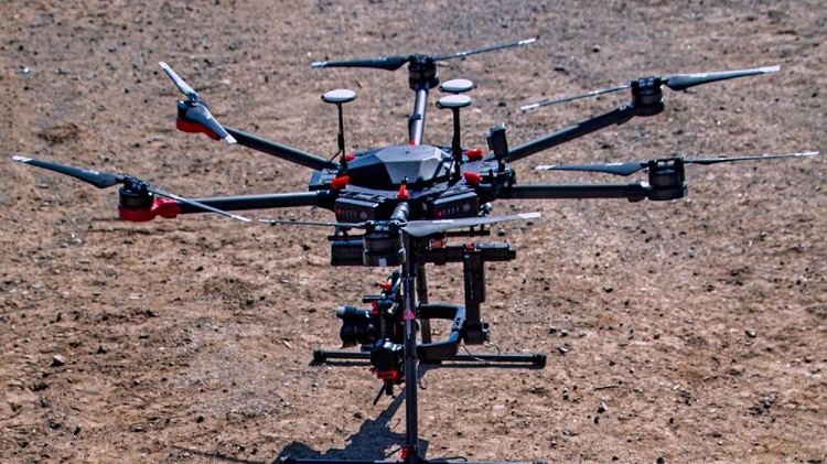
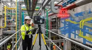
LiDAR, UAV and photogrammetry rigs, delivered to your format.

Projects completed
0 +
Operating nationally
Since 0
P.L & P.I insurance
$ 0 M
Melbourne · Sydney · Brisbane
0 offices

01 — Overview

Reduce costs, maintain quality

Our multidisciplinary team and strategic partners have completed 1,000+ projects across Australia. We combine precise surveying, laser scanning, inspection, drafting and photogrammetry with a level of service that keeps design, build and maintenance decisions moving.

What that looks like on site:

1

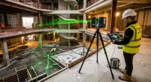
3D laser scanning & LiDAR

2

Drone surveying & mapping

3

Land & engineering surveying

4

Asset & building inspection

5

Photogrammetry & imaging

6

CAD drafting & BIM modelling

Forget the guesswork. Eliminate site revisits. Every laser scan, terrain map and CAD drawing we produce is quality-checked, actionable, and delivered in your preferred format.


Accredited & insured

CIWC, RiWC, RePL, ReOC, Working at Heights and Confined Spaces accreditations, $28M P.L & P.I insurance, and full CASA certification.

02 — Solutions

Our comprehensive solutions

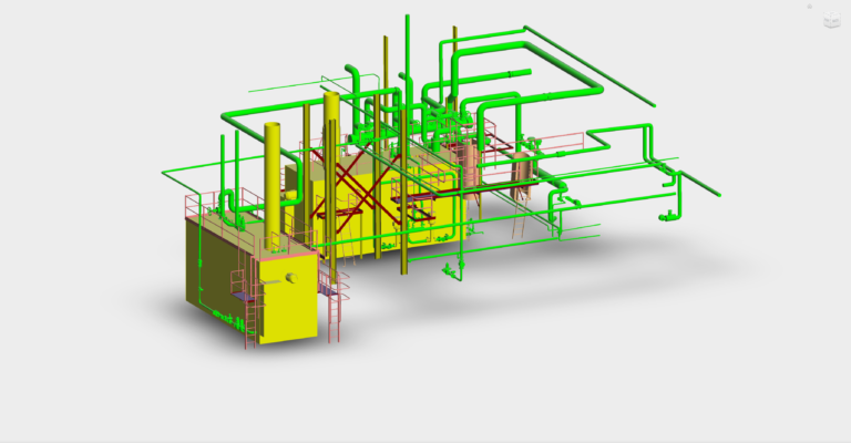
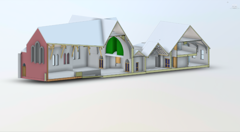
Millimetre-accurate as-built data for BIM, retrofit and renovation — from a high-rise or heritage façade to an industrial facility — plus the inspection, survey and drafting services that turn it into something your team can build from.

2D plans, 3D Revit models and BIM models — DWG, RCP, E57, RVT, OBJ, IFC, STL and SKP.

* Delivered to spec, typically within days of capture.

03 — Sectors

Designed for your sector

We work closely with professionals across architecture, engineering, construction, and property and asset management — tailoring capture and deliverables to how each team actually works.

01

Architects

Avoid lengthy time onsite for measure-up and avoid revisits. Capture a precise digital twin of existing conditions for measurement, analysis, design and modification.

Scan to Plans

Scan to Model

Scan to BIM

Visualisations & renders

02

Engineers

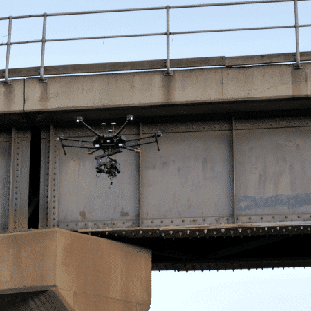
Visual condition inspections in difficult-to-access positions — at heights, over water, underneath bridges, inside tunnels or buildings — without the risk, cost and time of traditional methods.

LiDAR measurement

3D DWG & textured models

Structural analysis

Defect identification

03

Construction

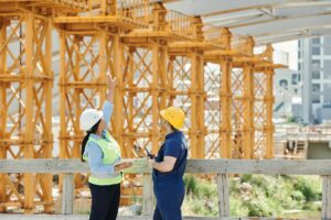
Deliver efficiencies across the construction lifecycle in risk, safety and cost. Keep stakeholders engaged, verify contractor payments against specification, and avoid costly rectification.

Progress updates

Contractor QA

Elevation maps

Safety & compliance

04

Property & asset management

Commercial building inspections, façade and roof inspections and condition assessments, delivered as 2D and 3D digital maps for asset tracking and reporting.

Condition assessment

Asset registers

Maintenance planning

04 — Compliance

Proven quality and safety

Difficult access, live sites and heights are routine work for us. Every mobilisation runs under stringent safety and risk protocols, with real-time onsite QA so nothing comes back missing.

Accreditations

Certified for restricted sites

Construction White Cards, Rail Industry Worker Cards, Working at Heights, Elevated Work Platforms and Confined Spaces — cleared for the sites most teams cannot enter.

Aviation

CASA-approved drone operations

RePL and ReOC certified pilots operating under full CASA approval, with job-specific risk planning for urban, rural and remote airspace.

Insurance

$28M public liability & professional indemnity

Fully insured and documented, so procurement and site inductions clear without delay on Tier 1 and government projects.

05 — Workflow

Our simple three-step process

Scoped, captured and delivered — with the planning done before anyone sets foot on site.

Step one

Plan & mobilise

We scope your project, review site access and select the optimal mix of survey, 3D laser scanning and drone services — including job and risk planning, staffing, hardware and methodology.

Step two

Capture & inspect

Our certified team conducts surveys, laser scans, drone operations and inspections under stringent safety and risk protocols. Real-time onsite QA means no missing data.

Step three

Process & deliver

Point clouds are cleaned, QC-checked and registered, plans and models drafted, and deliverables compiled into ready-to-use CAD/BIM packages — typically within days of capture.

06 — Why Avian

Beyond traditional surveying

From Tier 1 construction firms to boutique design studios, teams come to us for accuracy, agility and accountability.

Agile & customer-centric

We tailor every project to your requirements — no one-size-fits-all. Our team adapts workflows on the fly so you get exactly the service you need.

Smart data, not just big data

Rich point clouds, ultra-detailed meshes and georeferenced visuals distilled into data that fits your design, documentation or build process.

Best-in-class technology

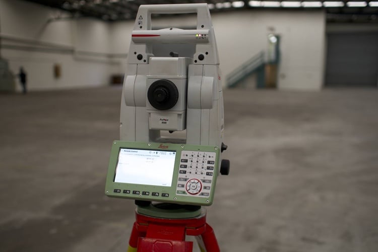
High-resolution LiDAR scanners, UAVs and photogrammetry rigs capture intricate detail, backed by rigorous QA and redundancy.

Full-service drafting support

In-house CAD and Revit specialists deliver clean DWGs for council approval or textured Revit models for coordination — to spec, on time.

Nationwide footprint

Offices in Melbourne, Sydney and Brisbane mobilise quickly for any job, and CASA-approved drone services reach the hardest sites.

Proven quality & safety

Fully accredited, insured and CASA-certified, delivering safe, compliant and reliable site documentation every time.

07 — Coverage

A nationwide footprint

Local offices in Melbourne, Sydney and Brisbane let us mobilise quickly for any job — urban, rural or remote. Our CASA-approved drone services cover Australia’s most challenging project sites.

Melbourne

Sydney

Brisbane

Regional Victoria

Regional NSW

Regional QLD

Remote sites

Rail corridors

Tunnels & bridges

Heritage buildings

Ready to capture your site?

Tell us about the project and we’ll come back with scope, method and a fixed quote.