Technology has changed the way we manage construction and surveying in drastic ways. With the improvements in GPS, microprocessors, drones, laser scanning and internet of things (IoT) we could assume life has been made easier for project managers, builders, surveyors and engineers in the AEC sectors.
One area of construction that is a critical step in the end to end process is construction site assessment and monitoring. This is important in the pre-construction phase as it helps site engineers get in-depth insights on the site topography, soil conditions, site features and terrain.
Earlier, with the traditional and more manual methods, it would take days to inspect and record the required site information to assess feasibility and site conditions. Now with the support of GPS, drones, satellite data, LiDAR and GiS you can get the construction site assessment done in a matter of hours with extremely valuable site data and information.
As surveying and geospatial professionals, we often get questions about construction site inspection cost and the inclusions. It’s always recommended to book a phone consultation with us to get an accurate idea of the benefits, process and related costs involved in construction site assessment and monitoring. We recommend that you book a consultation with us to get a quote unique to your project. Everyone’s project needs and budget is different.
Our team of professionals schedule a discovery call or site visit to get valuable insights on your project requirements. Here are some factors that we consider when determining the construction site assessment cost.
Table of Contents
Pricing packages to suit your business
Plans with inclusions for Drone Inspection, Land Surveying, 3D Laser Scanning, Drone Photography & Videography. Get custom quote for your specific requirement.
What is construction site assessment and monitoring?
Construction site assessments, also called site feasibility studies, refers to the process of gathering site information such as site dimensions, topography, soil conditions, vegetation and more. These assessments often include conducting a Feature and levels survey to obtain crucial site dimensions, contours, features and above ground services of the subject site and surrounding areas. This information helps engineers, architects and designers develop site and building plans, town planning applications, council permits etc.
Construction monitoring
Construction site monitoring is often necessary in each stage of the project. In the pre-construction phase, the survey provides insights into the terrain, site features and elevations.
During construction, conducting site monitoring helps with project monitoring, resource management and identifying design or construction issues early to avoid costly rework and rectification. In short, construction monitoring saves a lot of time and money in the project.
Why we need construction site monitoring?
Here’s some of the reasons why construction site monitoring is essential for a construction project:
Observing each stage of the construction and monitoring to completion
Identifying potential issues, limitations, errors and obstacles during the project
Checking if the construction project is progressing as per schedule
Assessing contractors works and validating claims for payment
Assessing site conditions for safety and compliance monitoring
Planning site materials, access and storage to ensure smooth site operations and avoid delays or setbacks
Checking if the assets onsite are well maintained, stored correctly and in good condition
Identifying any variations in the construction plans or design and getting them immediately addressed without further impact.
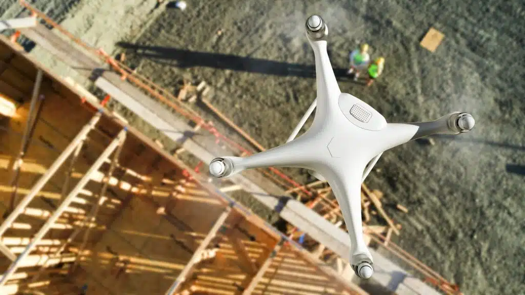
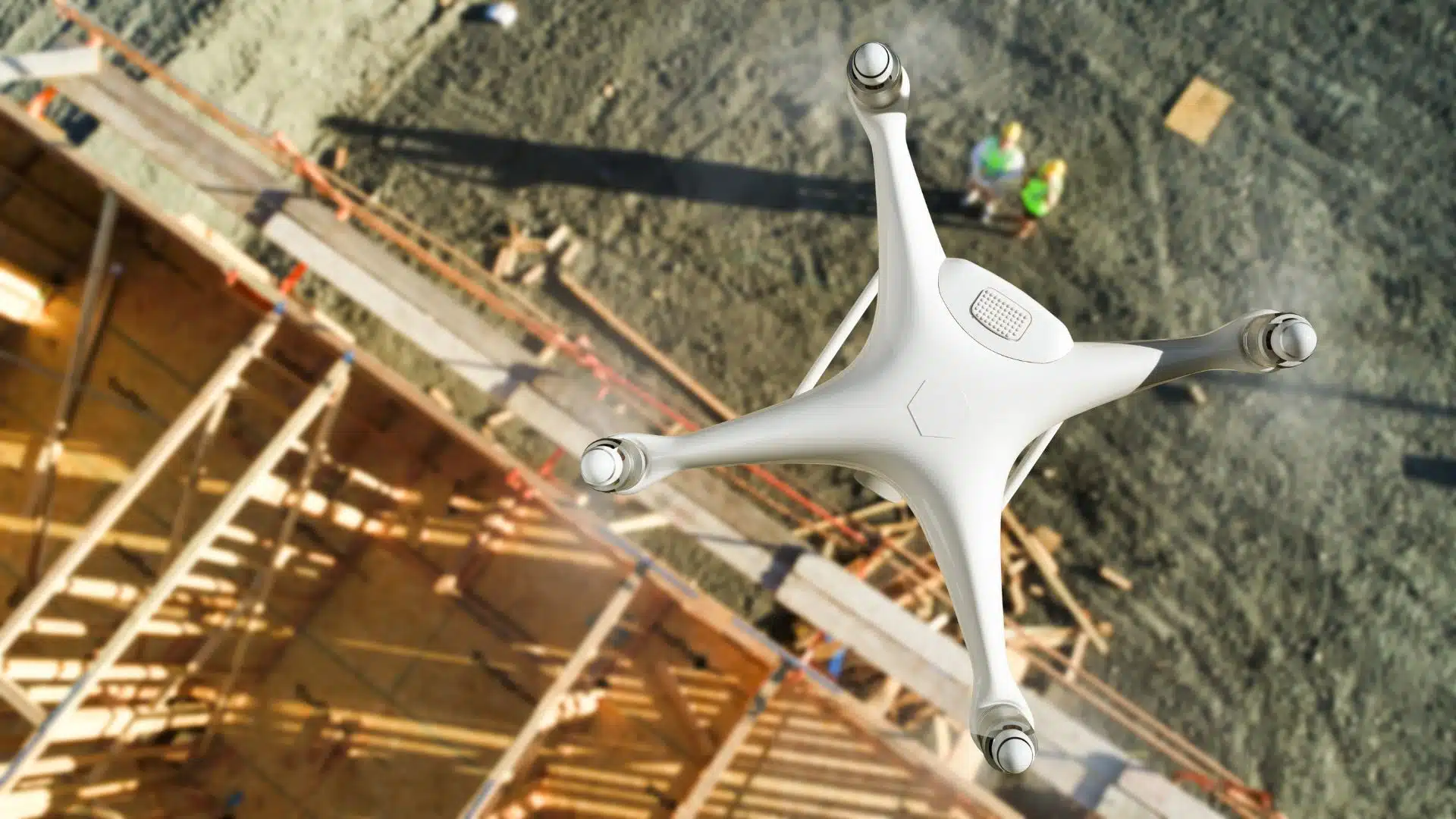
Benefits of using drones for construction monitoring
Earlier, land surveyors would manually walk the site to take measurements, check conditions or observe activity. This can take time and is a risk to observers walking around at a busy construction site. Now, with using drones and surveying methods we quickly obtain valuable site information to assess and compare site conditions without the need to walk the ground.
Today, using drones helps project managers, engineers and supervisors get a birds eye view of the entire project and its status in a matter of hours. Also, conducting a drone mapping survey is non-disruptive and often not even noticed on a construction site and hence very popular among AEC professionals.
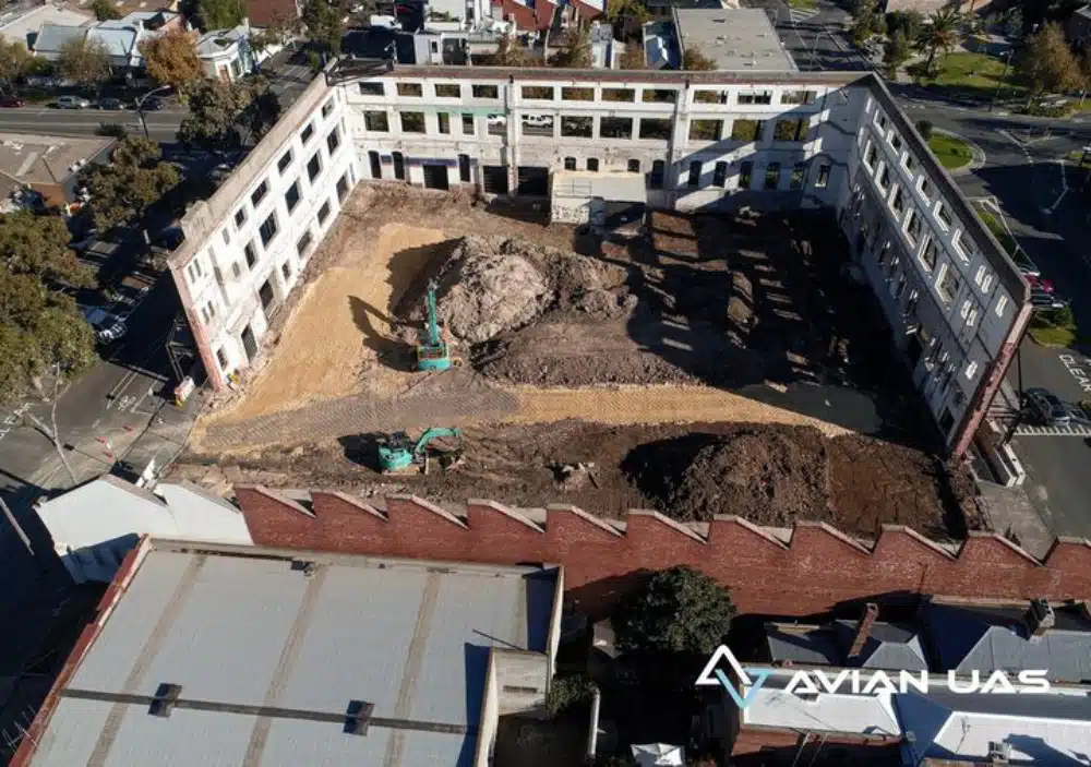
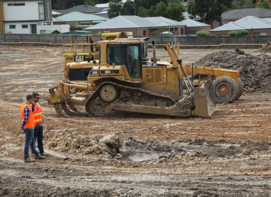
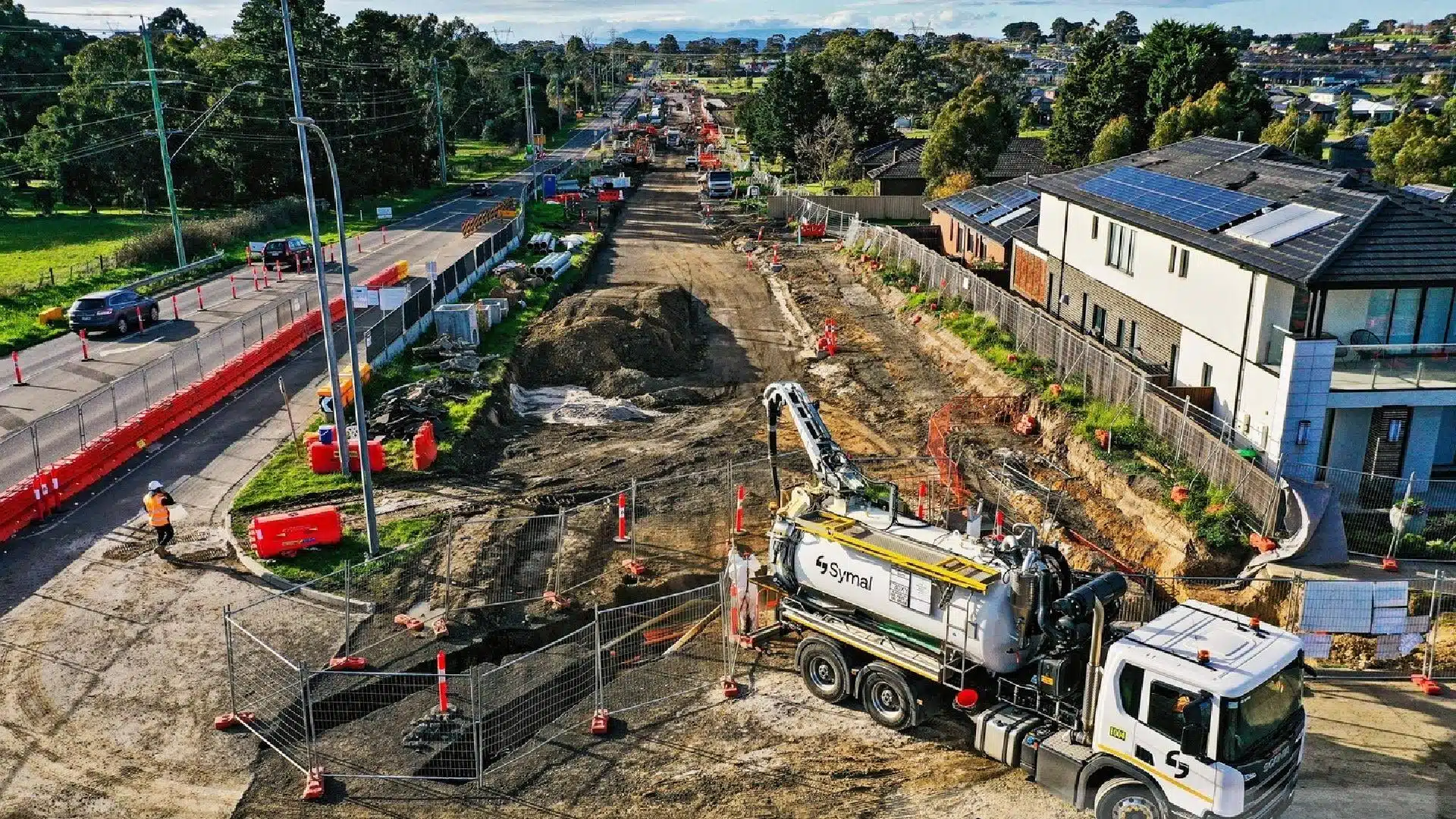
Our Project Portfolio
A few of our past projects from our years of experience of working with 100+ clients in AEC Industry carrying out 3D Laser Scanning, modelling, volumetric calculations, aerial inspections, mapping & contour surveys, aerial land surveying, photomontage and much more.
Factors affecting construction site inspection cost
Site inspections involve both surveys and documenting existing conditions to help engineers, project teams and other stakeholders make crucial decisions about the construction project and support various stages of the construction approvals process.
A construction progress report can be made on a weekly, monthly or quarterly basis depending on your project requirements. Each site visit is carefully planned to obtain the most optimal site information and compile the progress reporting data with supporting evidence to give clients in-depth insights on the project.
This can be in the form of photography, video, 360 site tours, 2D maps or 3D BIM models. There is an abundance of available methods to review and assess a construction project in various levels of detail. We can even create the finished building and tour the project in Virtual Reality (VR) before construction has even finished!
So, how does a construction monitoring and progress report look? With Avian, you can book a free consultation and talk to our talented team. In this first consultation, we will try to understand some fundamental aspects of your project so we can provide you with a fit-for-purpose solution that supports your objectives.
In this early stage we also assess the necessary permits and permissions needed to perform site monitoring and progress reporting as we may require traffic management, or CASA approvals to operate drones in the area. Our team are experienced and fully qualified to help with the documentation and necessary permits and approvals.
Construction services we offer, their costs & inclusions
Construction surveying and mapping involves gathering existing site conditions and recording the site conditions on the day. This delivers high-resolution sitemaps, feature and contours surveys and 3D models of the project and its features. However, it depends on the stage of the construction project as a site feasibility study and feature survey is very different to an as-built survey for updated drawings! In consultation, we develop a suitable plan based on your unique project requirements and budget.
Site feasibility studies and surveys
This preliminary site assessment involves a Feature and Level survey and other terrain maps to give a detailed understanding of the terrain, site features, vegetation and surrounding areas. The cost for site feasibility is determined based on the size of the area to be surveyed, the level of detail i.e. natural surface vs vegetation heights and the type of drawings, plans or digital terrain models (DEM, DTM, Ortho maps) to be delivered.
Other factors that affect the site survey cost are:
Location of the site
Terrain and topography
Size of the land
Is the property accessible by vehicle
The amount of time required on location
Level of accuracy required.
Construction site monitoring and progress reports
Progress monitoring is a little more straightforward as we usually conduct drone mapping and capture project details with photography and video. However, in some cases the client needs additional site context information, measurements or other data. This varies the cost as we may need to deploy site scanning (3D laser scanning) or photogrammetry to capture the site in sufficient detail. Our construction site monitoring can cost as low as $1,250 per visit depending on the size of the project and the type of monitoring and reporting that is to be produced.
As-built surveys
These surveys involve laser scanning before and after works to provide both initial and finished as-built drawings and also to validate if a contractor’s work has been delivered to specification. This is commonly required with interior fit-outs, rectification works and fabricated installations. For this type of survey we deploy terrestrial laser scanning equipment (LiDAR) to gather an accurate point cloud that we can then generate as-built drawings.
This cost of as-built surveys varies based on the size of the area, complexity of the build (irregular shapes/angles) and the type of drawings we have to provide the client. To read about the costs involved with laser scanning see our article here.
Building facade inspections
Building facade inspections are usually conducted for restoration or rectification works. In these inspections, the engineers and surveyors will record the existing conditions of the building to determine repairs and maintenance plans.
Facade inspections must be conducted with extreme care and diligence as it’s easy to get confused when reviewing hundreds of photographs of a building facade.
Our methods include software to visualise the images and their precise position on the facade to assist with assessment and reporting. Plus, using our aerial inspection methods reduces the risk, time and cost of using rope access, cranes and BMUs to obtain an overall condition assessment.
A building facade inspection can cost between $2,200 – $15,000 depending on the size of the building, type of survey (laser scan, visual only inspection), the number of levels, how many facades and what types of reporting is required.
Have a custom requirement ?
Get a quick estimate for your specific project requirements with listed inclusions/exclusions.
Key benefits of using our construction site assessment and monitoring services
With improvements in technology the way we conduct surveys has completely changed and are a vast improvement on other traditional surveying and construction monitoring methods. Here are some benefits of using our solutions for construction assessment and monitoring.
A. Data accuracy
Using our surveying equipment combined with drone surveys and laser scanning provides a guarantee of accuracy standards and quality control. We work with the client to meet accuracy expectations and ensure our deliverables are aligned with existing survey and GiS datasets.
B. 3D modelling and site visualisations
One of the biggest advantages of using our site monitoring is that our laser scans and photogrammetric models can be converted into 3D visualisations. This can be a simple 3D map of the project or a more involved 360 virtual tour and animation. At Avian, we help our clients generate engaging 3D sitemaps and models based on the site data we gather.
These 3D models can be used as crucial communications tools, safety and site inductions, communications and marketing materials or to inform potential investors. Impress your clients and attract more project support with interactive 3D models and animations.
C. Quick results
Avian deploy a range of complementary technologies that allows us to conduct surveys of large construction projects in hours, rather than days using a more traditional boots on the ground type of surveying.
This makes our surveys more efficient, safer and delivers more complete information about the construction project and it’s status.
D. Real-time data
Our construction monitoring and surveying services support project managers, engineers, project teams, and contractors by providing efficient project site assessment, project status and resource planning without requiring you to attend to multiple site visits.
Furthermore, our site monitoring and progress updates enable early detection and resolution of construction or design errors. This demonstrates how Avian’s construction monitoring solutions can effectively save time and costs throughout your construction project.
If you are looking to support your construction project with innovative services that add value, save time and money and ensure project success, reach out to the team at Avian to discuss your project and we can recommend the best fit-for-purpose solution for your unique project needs.
Please contact us and book a free consultation to learn more about your unique project requirements and discover how our services and expertise can help to deliver successful project outcomes.
Have a question for us ?
Our team is eagerly waiting to know about your queries. Please call us at the number below during business hours and our team will help you out.