Category: Construction

Revit Modelling from Point Cloud: Workflow, Tips, and Best Practices
June 25th, 2026 by avianA point cloud is one of the most information-rich datasets you can bring to a construction or renovation project. Millions of verified spatial measurements, captured in hours, reflecting exactly what exists on site. But raw scan data isn’t a usable deliverable on its own. It needs to become a model. […]
Read More
Everything You Need to Know About As-Built Surveys for AEC Projects
February 21st, 2026 by avianEvery construction project changes along the way: services get rerouted, structural elements shift, materials are swapped, and dimensions drift from what was drawn. If those changes aren’t captured, the next team to work on the building is designing from drawings that no longer match reality. As-built surveys solve that problem […]
Read More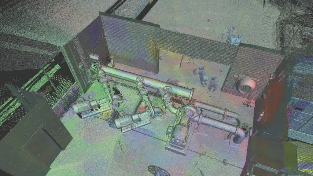
What is a 360 Site Inspection Survey? How it can help with Construction Risk Management?
May 20th, 2024 by avianThe Architecture, Construction, and Engineering (AEC ) industries have witnessed a revolutionary shift in site inspection methodologies, evolving from manual, time-consuming processes to the adoption of advanced technological solutions. Among these, 360 Site Inspection Surveys have emerged as a forefront innovation, redefining remote construction site management. Leveraging immersive photography and […]
Read More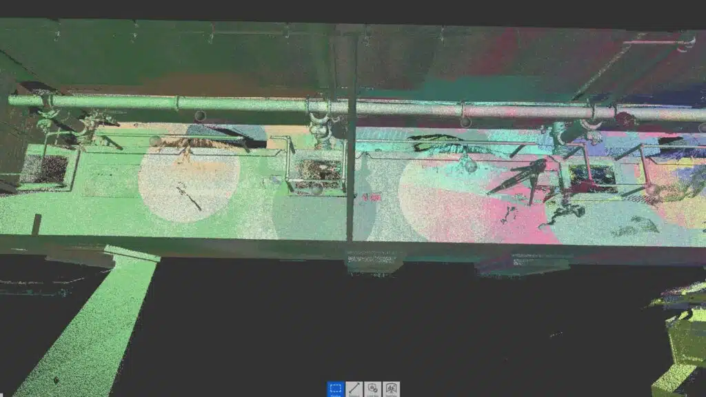
Key Terminologies in 3D Laser Scanning for AEC
May 20th, 2024 by Chris PatchellWhether you’re an architect sketching a new high-rise in the Melbourne CBD, an engineer working on a Brisbane tunnel, or a contractor overseeing a heritage façade restoration in Sydney, understanding 3D laser scanning terminology is essential. The AEC (Architecture, Engineering, Construction) industry relies increasingly on digital data capture, turning the […]
Read More
3D Laser Scanning vs. Traditional Surveying for AEC Projects
May 20th, 2024 by Chris PatchellAccurate site data is crucial to every phase of an Architecture, Engineering and Construction (AEC) project. In Australia, where expansive urban growth in cities like Sydney, Melbourne and Brisbane coexists with heritage preservation and regional infrastructure, precise surveying can make or break project success. Today, a growing number of Australian […]
Read More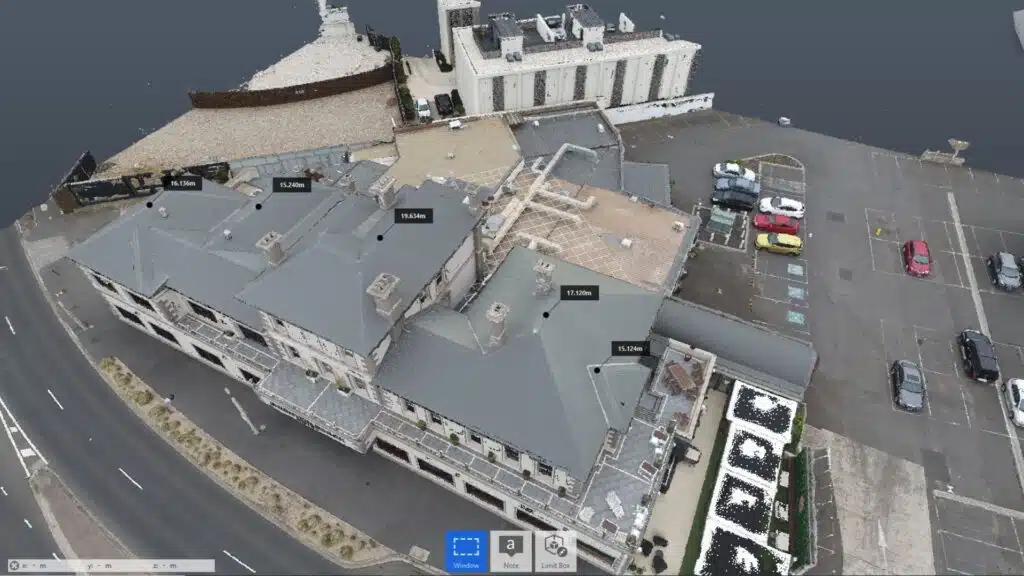
Building the Future: How Point Cloud Surveys are Revolutionising Construction
May 6th, 2024 by avianPoint Cloud Surveys have emerged as the cornerstone revolutionising the industry in the dynamic arena of modern construction, where accuracy and efficiency reign supreme. Consider an exact digital replica of the real world made up of millions of points precisely collected in three-dimensional space. This is the heart of Point […]
Read More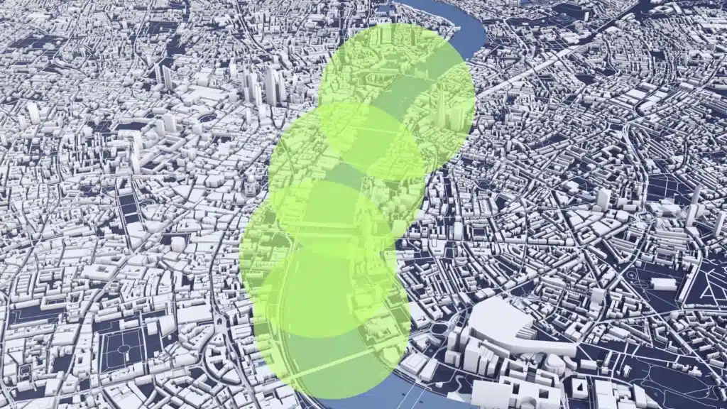
Comprehensive Guide to Corridor Mapping with Commercial Drones
January 15th, 2024 by avianIn the dynamic realms of engineering, project management, and urban planning, the demand for precise and efficient corridor mapping is an ever-present challenge. Enter drones – the transformative force reshaping our approach to topographical modelling and understanding the immediate environment in the rapidly evolving world of modern technology. Among the […]
Read More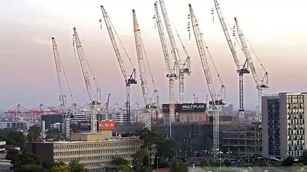
Enhancing Construction site assessment & monitoring with technology in 2023
July 26th, 2023 by avianIn the ever-evolving landscape of construction and surveying, technology has brought about transformative changes. The integration of advancements such as GPS, microprocessors, drones, laser scanning, and the Internet of Things (IoT) has significantly streamlined operations for project managers, builders, surveyors, and engineers within the Architecture, Engineering, and Construction (AEC) sectors. […]
Read More
Unlocking Efficiency in Engineering and Construction: The Role of Reality Capture in Project Management
July 26th, 2023 by avianIn the world of engineering and construction, where accuracy and efficiency are paramount, embracing innovative technologies is crucial for success. One such technology that has revolutionised the industry is reality capture. Reality capture refers to the process of capturing and creating precise digital representations of physical objects, environments, buildings and […]
Read More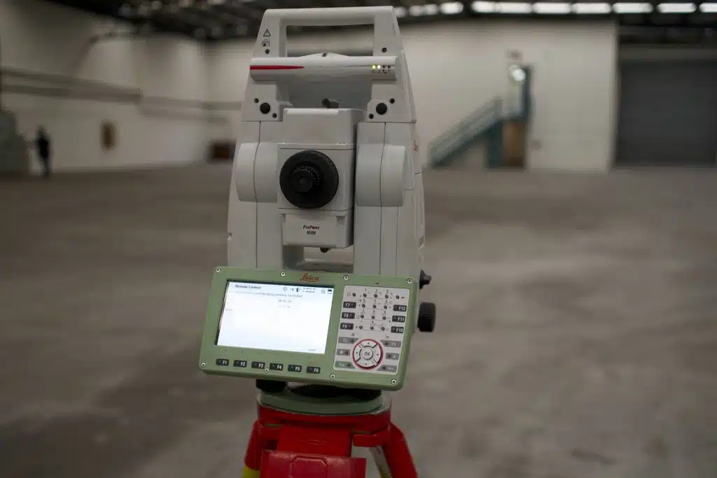
Comparing Aerial Drone Scanning and Ground-Based Laser Scanning
July 25th, 2023 by avianIf you’re working on an AEC project that needs accurate spatial data, you have two main scanning options: send a drone up, or set up a laser scanner on the ground. Both produce point clouds. Both feed into CAD drawings, BIM models and digital twins. But they capture very different […]
Read More