Pre-construction
Conduct early works surveying and mapping for site feasibility, site engineering and design, measurements and preliminary analysis of a project, structure or terrain to assess existing conditions, draft plans, and develop GiS maps or models.
During Construction
Record and report on construction progress, site activities, safety compliance and to validate contractor works using our comprehensive solutions and quality assurance.
Post Construction
Deliver quality communications and marketing materials for project teams and stakeholders, social media, tender bids and sales presentations to demonstrate project success.
AVIAN use a combination of surveying, geospatial, laser scanning and reality capture methods to record and digitise the real world.
Dedicated Services from Leading Land Surveyors Melbourne, Sydney and Brisbane
PRECONSTRUCTION
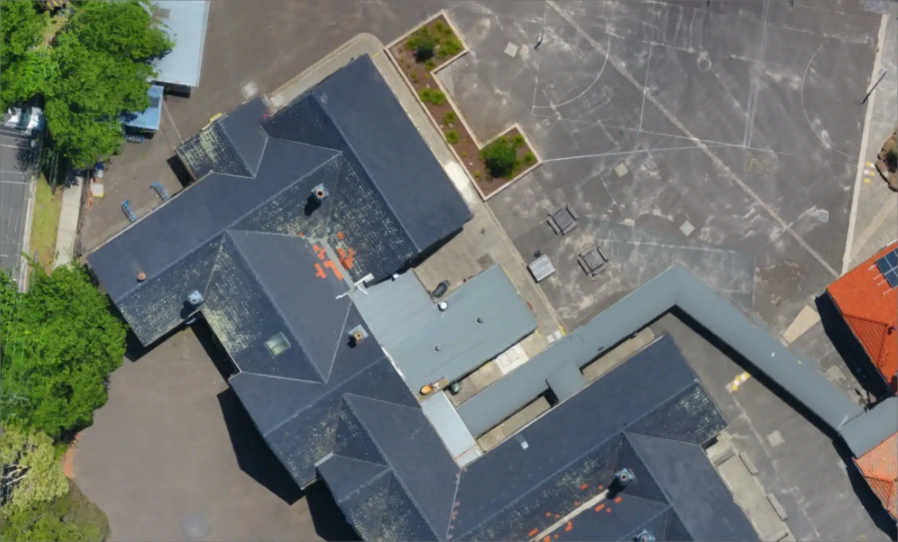
Topographical Maps and 3D Models
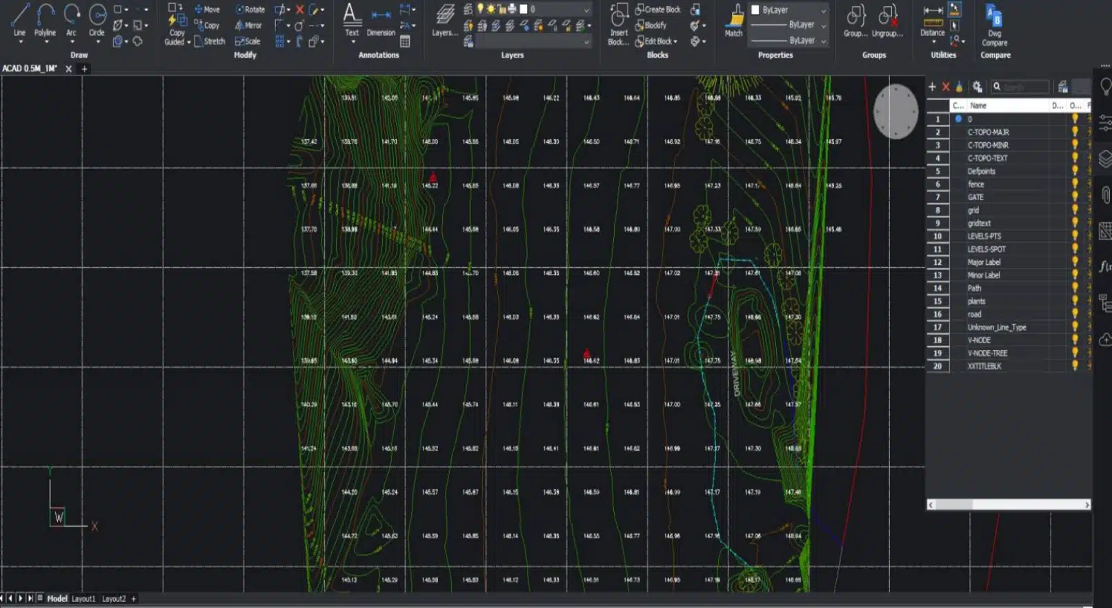
Using precision surveying and laser scanning we deliver high-accuracy, high-precision terrain maps, digital models with topographical details i.e. contours, elevations, features and break lines for engineering, design, planning and site assessments.
Site Volume Calculations
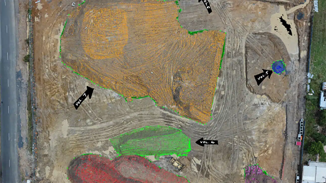
Modelling site volumes for compliance, reporting or calculations, allows for efficient and accurate job site planning. We use a quality-assured survey data to validate contractor estimates or performance of completed works.
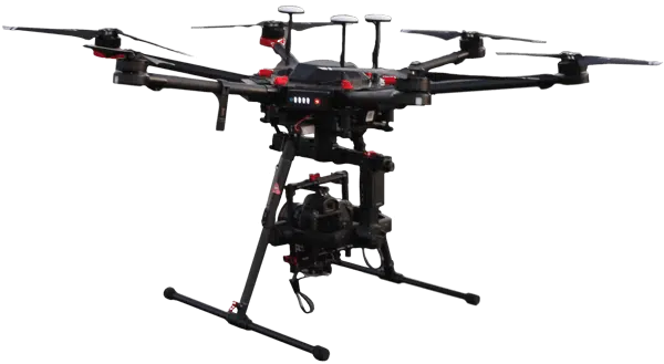
Site Access and Project Planning
For site access and construction planning. In the case of remotely located sites, terrain mapping will help to plan the best access routes and assess the existing conditions. Get real-time site information knowing its current, accurate and updated compared to other sources.
Vegetation and Natural Surface Details
Using airborne LiDAR (Light Detection and Ranging) to produce classified point clouds we provide valuable topographical details of the natural surface. This helps with construction planning, town planning and environmental assessments and informs how much of the site needs to be cleared and the effort and equipment needed.

Measure Progress
Our team of land surveyors in Melbourne sets the standard for precision and reliability in construction surveying.
Construction progress updates are essential in project management. Construction project managers can accurately visualise and measure progress to inform and plan works on complex sites, in order to manage projects and contractors efficiently. This allows sharing of key information with colleagues, teams, stakeholders and clients.
DURING CONSTRUCTION
Improved stakeholder engagement
Visual information in stakeholder updates (e.g. for investors, staff or clients) makes the project updates more immersive and engaging. This improves stakeholder support and provides confidence in project performance, especially if the project is not visited by stakeholders.
Safety and compliance reporting
Site maps and 3D models, in conjunction with AI and asset tracking software can be used to ensure that only authorised staff are accessing restricted areas. Or that all personnel on the site are wearing mandatory PPE. This allows the identification and rectification of any OHS breaches, potentially avoiding compliance issues and fines. It makes reporting on safety compliance faster and more accurate.
Creation of BIM
Laser scanning during construction helps owners and builders to create a Building Information Modelling (BIM) program to record and track all asset information and key aspects of the project.
Contractor QA and milestone payments
Clear and easily accessible information about project and contractor performance ensures clarity of communication about the completed works. Helps to ensure that contractor and company milestone payments are processed smoothly.
Marketing for Sales & Future Bids
POST-CONSTRUCTION
Professional corporate image
Creating a positive and professional image in all marketing and media for stakeholders and potential clients makes it more likely the company gets invited on future jobs.
Marketing and stakeholder communications
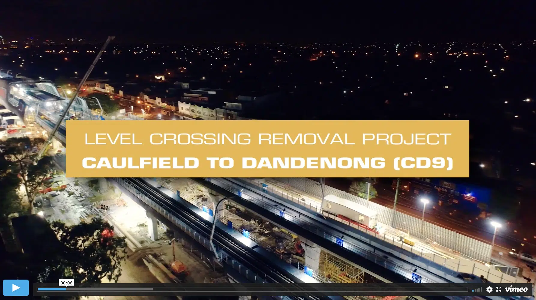
Including impressive and interesting photography and video (drones, time lapse, slow-motion) helps to communicate project complexity with stakeholders and the general public. This is particularly relevant to large civil and infrastructure projects to build roads, rail and other public infrastructure.
Industry Specific Experience
Our team has over 10 years of industry-specific experience with construction-related disciplines in land surveying, geospatial and mapping disciplines and provide quality-assured digital data on assets, sites, terrain and buildings to inform decision making and ensure project success.



100+ CLIENTS












Contact the AVIAN’s Land Surveyors Melbourne, Sydney and Brisbane Team today to discuss your specific project needs
FAQs about Drones for Construction Inspection
We have answered some common questions that clients have about drone services for construction site inspection.
Drones can cover hundreds of acres in a day. So, depending on the size of your project, drone surveying can take a day or a number of days.
At Avian, we have AEC experts and land surveyors on board with industry-specific expertise who understand your industry and unique project requirements.
We usually request for a physical visit to take in the construction site measurements and can then give you a budget estimate and timeframe of the project.
With relatively low overheads and significantly reduced costs when compared to terrestrial, light aircraft and helicopter surveys, drones open new horizons and new perspectives with regards to what is possible and affordable in the aerial survey discipline. Perspectives that were never achievable without huge costs and operational considerations are now well within the reach of today’s surveying professionals. This is thanks to the relatively affordable and increasingly accurate output of aerial survey drones.
Avian Australia holds $20 million in public liability insurance, WorkCover insurance and $1 million in professional indemnity.
Our CASA-certified team is licensed to operate multi-rotors to 25kg and 7kg fixed-wing drones. Our license allows the approval for non-standard operations, around airports and busy sites. Our team comprises of surveying, laser scanning, photogrammetry and geospatial expertise.
The cost for drone surveying services in Melbourne depends on the scale, deliverables and complexity of your project. For example, surveying a large road corridor and providing a high-resolution GeoTIFF map is low cost. But to LiDAR scan the same area and deliver site drawings, classified point cloud data and 3D site maps is more costly to deliver.
You can however check out this insightful blog on drone service cost estimates in Australia to get a fair idea of the standard industry rates. It covers pricing information applicable across Australia.
Download our e-book guide on “8 Essential Standards for Drone Services” for free to know more about the ultimate checklist which you must have before you hire a drone service for your next project.
To schedule a construction site visit, we can deploy within 24 hours. However, you first need to book a consultation for us to define and understand your unique project needs. We can then determine the most appropriate expertise, equipment and solution that best meets your needs and expectations. Or, we can attend the site and ask about your specific project requirements and deliverables to deliver the most optimal outcomes.
