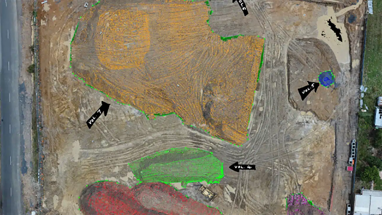
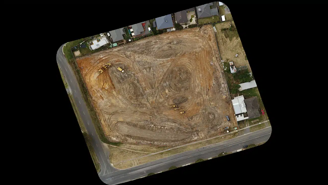
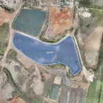
Accurate Site Stockpile Calculations - An Avian Case Study

Avian Australia partners with Construction companies to deliver sitemaps and volume calculations.

A construction site is constantly changing daily and at times can be a challenge to keep track of all site activities. In this instance a contractor quote to remove earth and debris needed to be validated to ensure transparency and value for money. While a surveyor would normally walk the site and take numerous measurements, we are able to complete the site mapping and measurements in a fraction of the time and more safely using a combination of both surveying and photogrammetry. Site activities continue without interruption and we are able to complete our work without any downtime.

Avian Australia, a digital imaging, surveying and visualisation company who partners with the AEC (Architecture, Engineering and Construction) industry to deliver quality assured, digital data and visualisations on real-world environments including assets, sites, terrain and buildings. 

For the construction industry we deliver site mapping and 3D modelling services across Australia. In this example we will review the benefits of using Avian Australia for site mapping and volume calculations. 

“Onsite activities continue without interruption and we are able to complete our work without any downtime.”

The Project

The site was being prepared and a number of stockpiles (7 in total) were located onsite that needed to be removed to complete the grading. The client has obtained quotations for the removal of the soil and wanted a sitemap in AutoCAD and volume calculations for each of the stockpiles. 

Avian Australia deployed a professional-grade quadcopter with a 20MP camera and Leica Geosystems GNSS GS08+ Receiver for accurate geo-location and survey control.

The Benefits

  • The entire site was mapped and measured within 2 hours with no downtime to site operations. 
  • A geo-referenced 2D site map was processed and made available in CAD and Civil 3D compatible formats (tif, dxf, shp) for site engineering and drafting.
  • The images taken with the professional drone fitted with a 20MP camera enables each individual photo to be used for future reference or desktop analysis. 
  • The client saved over $7,500 on validation of the supplied quotations for the removal of the soil as the calculated volumes were lower than the estimated soil volumes in the received quotations.

Related Projects