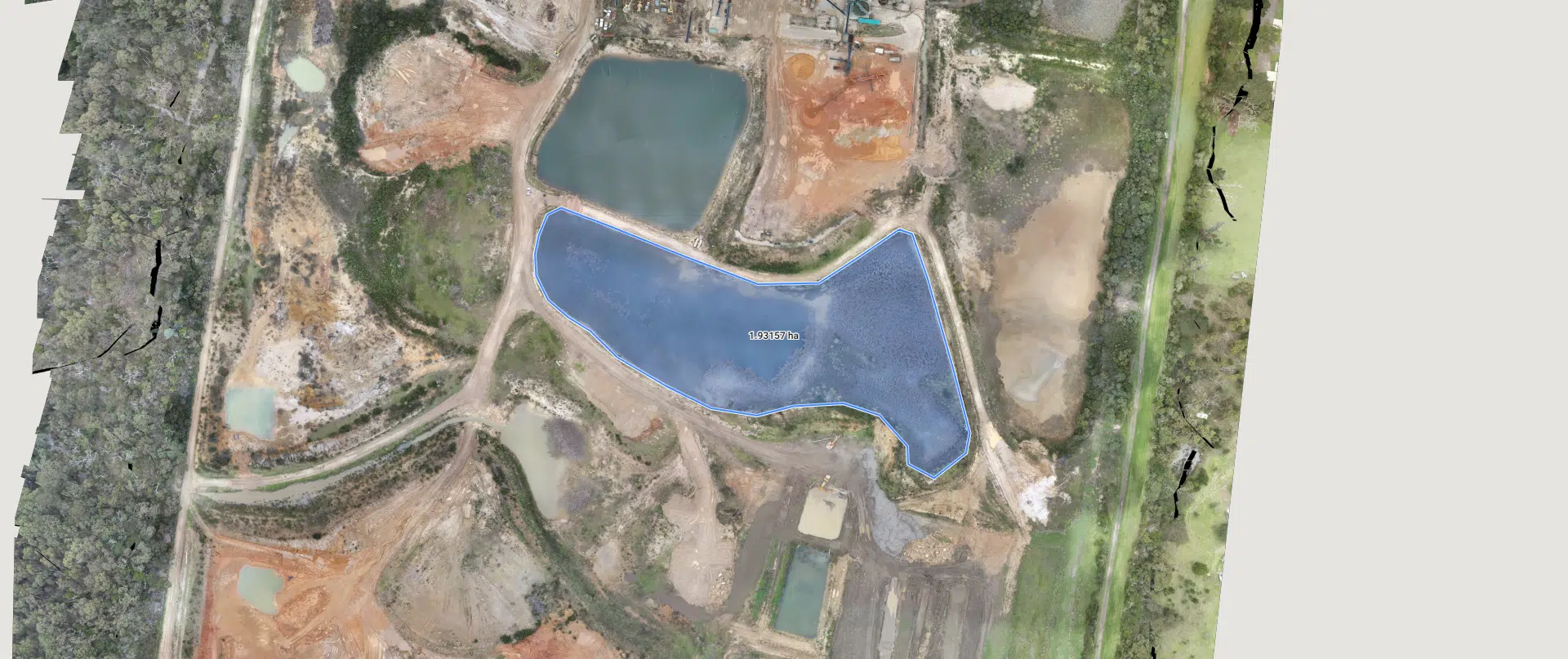
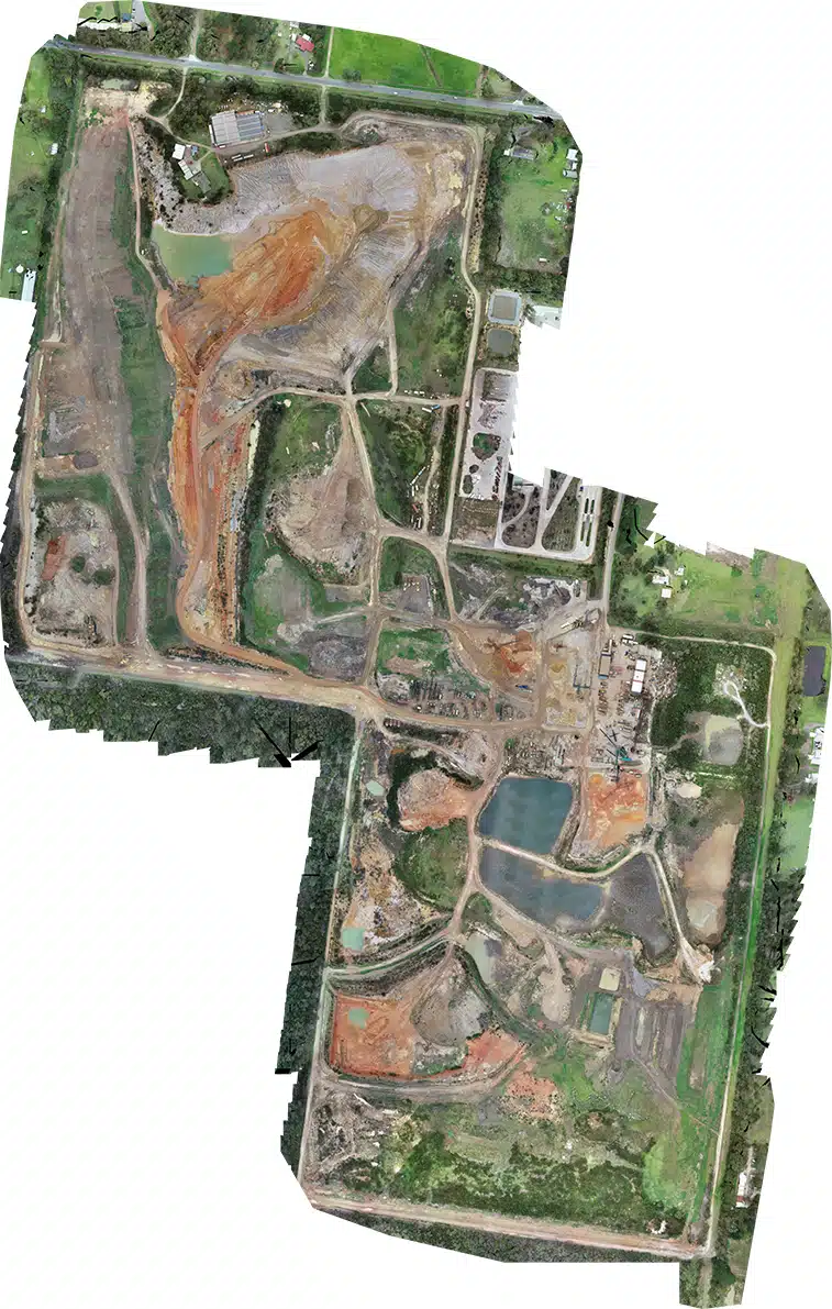
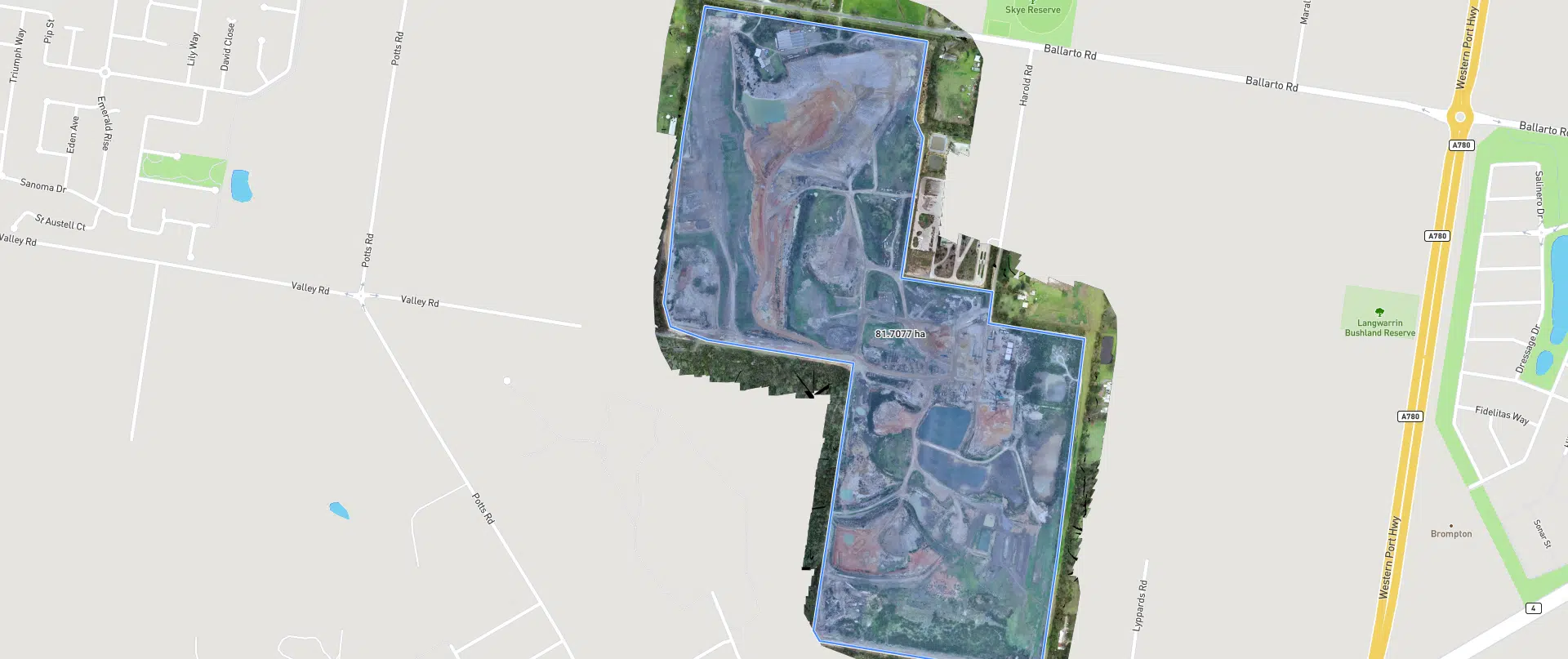
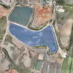
Aerial Surveying and Mapping - An Avian Case Study
Surveying larger land areas can take days using traditional surveying methods as the surveyor must walk around the entire site area and take many observations or points to then draft into a survey plan of the entire site. This also achieves levels in a grid pattern called spot levels and may not take into account areas that were inaccessible on foot. When dealing with land parcels over 10ha this will take days to obtain these site measurements and at a higher level of risk to staff and disruption to site operations.
In partnering with construction aggregate suppliers, Avian Australia is able to conduct aerial surveying to deliver accurate terrain mapping in a significantly shorter timeframe and with less risk or disruption to site operations.
Avian Australia reduces the risk and time required on site by acquiring the necessary data in a day. This is achieved without our surveyors manually walking the entire site as we strategically place our survey control in areas that are safely accessible and not obstructing any site operations.
Avian Australia, is a leading multidisciplinary surveying, imaging and visualisation company servicing architecture, engineering and construction sectors. We deliver quality assured, digital data and visualisations on real-world environments including assets, sites, terrain and buildings.
“Avian Australia reduces the risk and time required on site by acquiring the necessary data in a day. This is achieved without our surveyors manually walking the entire site as we strategically place our survey control in areas that are safely accessible and not obstructing any site operations.”
In this example we review the benefits of using Avian Australia for aerial surveying and mapping of a 83ha site area.
In partnering with Avian Australia, quarries and construction aggregates suppliers are able to confidently rely on our surveying and volume calculations to assist with stock visibility and improve financial management.

The Project
The client required a feature survey (contours), site map and volumetric calculations of various site features including stockpiles, unmined areas and mined areas. This information was delivered in a comprehensive report for the client.
Our process was first to set and observe our survey control using the nearest CORS base station for RTK positioning. These points are set on the ground and measured to give local coordinate values within +/- 20mm. This step is essential to correctly align, correct and geo-rectify the hundreds of aerial images taken from the drone during the aerial survey.
After this stage is completed we then conduct the aerial surveying using a combination of flight paths to capture the entire 83 hectares from multiple angles to allow for a 3D model to be reconstructed of the site area. The reason we use 3D modelling of the site is to accurately calculate volumes from the digital model as using a 2D site map will not provide the required information for our calculations.

The Benefits
- The terrain can be accurately measured without the need to traverse the entire site area. This reduces time and risk of walking the entire property to conduct the surveying.
- No disruption to daily site operations.
- Client receives site contours and elevation maps for topographical information.
- Site maps provide the current site status and a comprehensive view of the entire site area (83 hectares).
- Reporting provides accurate volumetric calculations of specific areas to inform budget management and revenue forecasting.