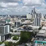
melbourne cbd skyline

Stunning Aerial Photomontage - An Avian Case Study

Commercial Architecture and Avian Australia partner to deliver high-quality Architectural renders

Architecture has utilized digital technology to deliver benefits for a long time and until more recently the use of drones has been limited to aerial photography. For those operating in the AEC industry, drones can be used throughout the entire project duration to deliver tangible benefits in surveying building sites, collecting useful data and information or creating amazing visualisations for marketing and promotion purposes.

Chris Patchell is the GM and Director Operations at Avian Australia, a digital imaging and visualisation company who partners with the AEC (Architecture, Engineering and Construction) industry to deliver quality assured digital data and visualisations on real-world environments, like assets, sites, terrain and buildings. 

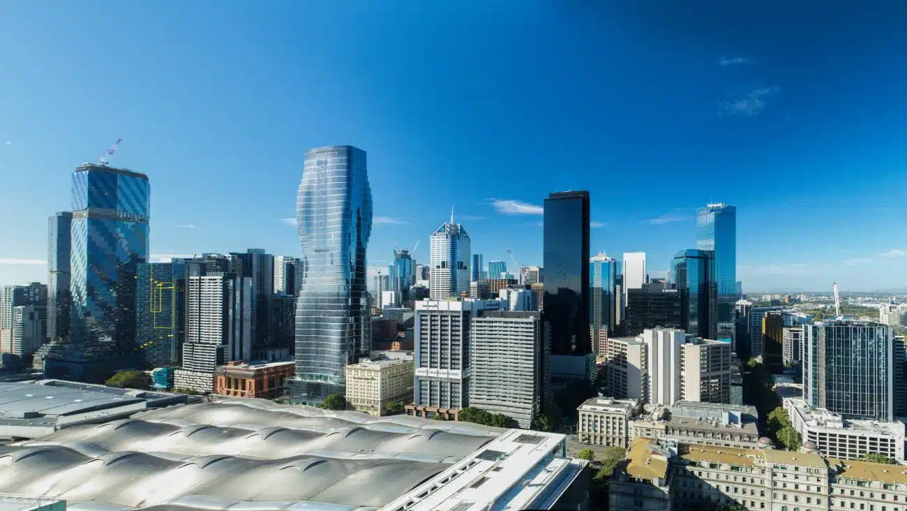
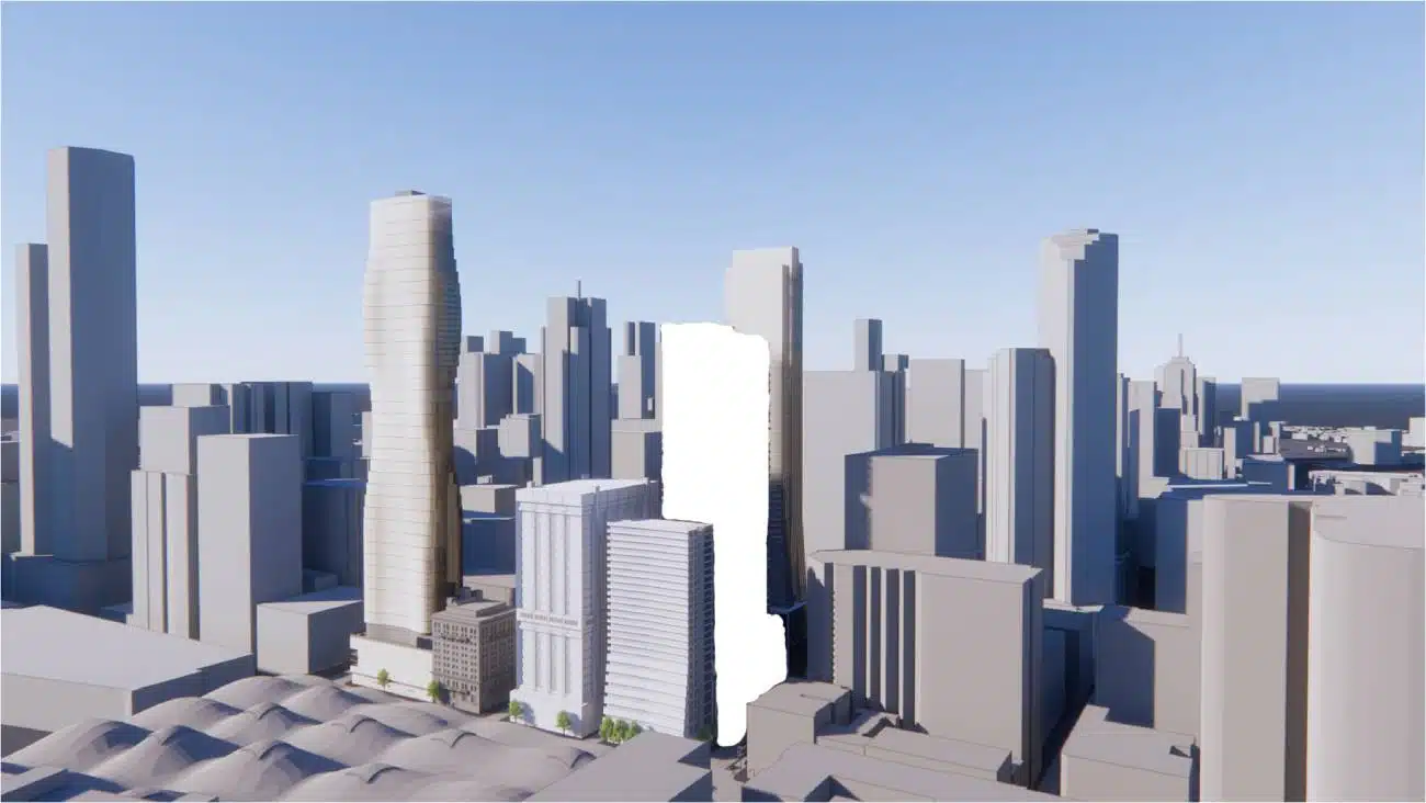
For the commercial architecture industry aerial photography, architectural renders and visualisations are a key requirement for concept designs, marketing and sales. In this example we see how Avian Australia delivers unmatched image quality and accuracy in providing aerial photography for Architectural rendering.

“For the commercial architecture industry aerial photography, architectural renders and visualisations are a key requirement for concept designs, marketing and sales.”

The Project

To capture high-resolution aerial photography using a drone to exactly match the supplied frame of reference. The image resolution must be at minimum 24.3MP with superior image sharpness for enlargements and reproduction quality.

Avian Australia deployed a professional-grade octocopter (8 motor) fitted with a Canon 5D III and 25mm F1.4 lens to capture the required image in one frame. This avoided the need to stitch multiple images and introduce errors or misalignment in the stitching processes. Please visit – Drone Photography in Melbourne for more details.

The Benefits

  • The image was captured with a Canon full frame DSLR mounted on a professional-grade UAV (unmanned aerial vehicle) fitted with redundancy safety features.
  • This camera delivers a high-resolution, high-sharpness image quality to ensure image clarity and sharpness for superior image enlargement. 
  • Multiple images and views were presented to the client and stitched panorama views for additional design and marketing purposes.
  • Due to the low altitude and location this aerial photograph is not possible to replicate from a helicopter.

Related Projects