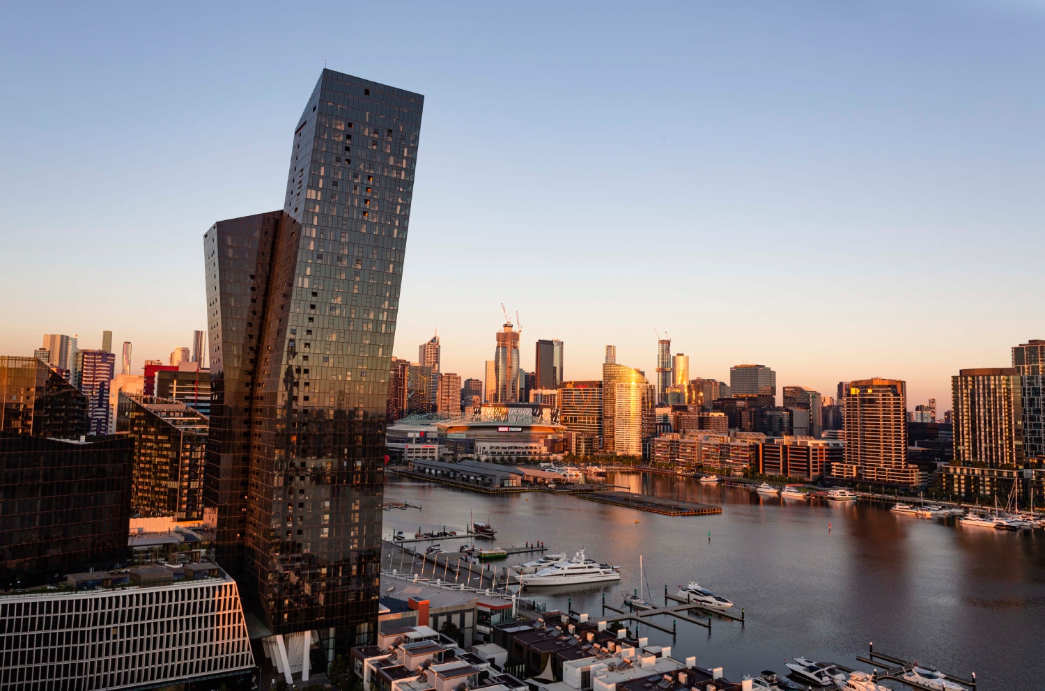
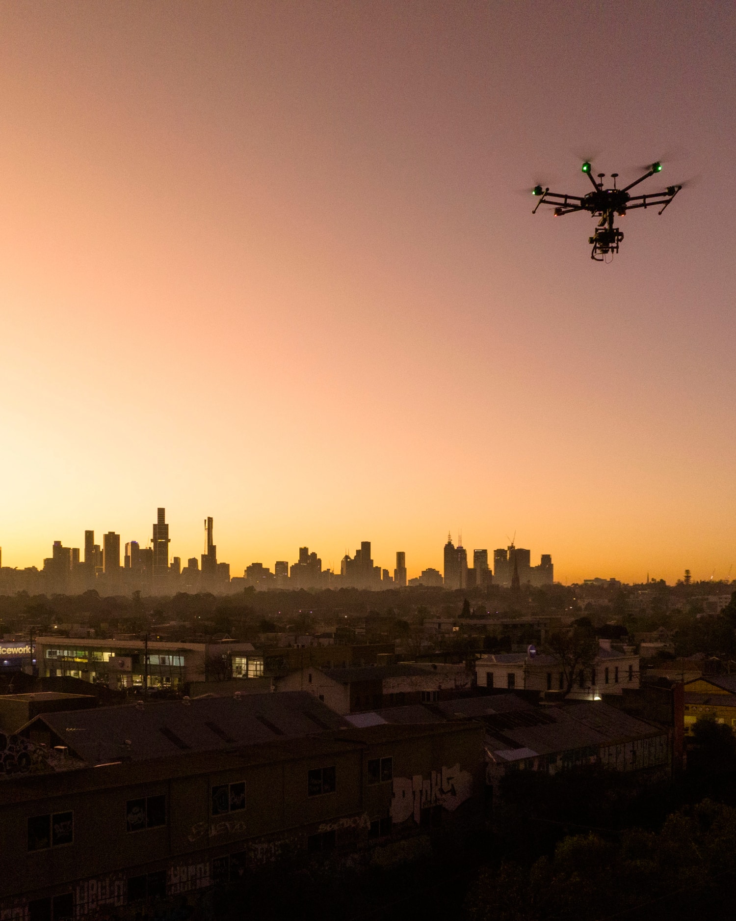
Aerial Surveying and Mapping - An Avian Case Study
Contemporary architecture takes full advantage of aerial photography either drones or helicopters to complement many stages of a project. Using drones is certainly a fast and affordable method to get great images, however the camera sensors in drones suffer from poor low light capture, lack sharpness or interchangeable lenses that are known to cause issues when stitching images in post production.
For many commercial architects image quality is paramount to client satisfaction and project success. To meet this demand, Avian offers a full suite of aerial camera and lens configurations to deliver clients both the image quality and fast turnaround required for commercial architecture projects.
“Avian offers a full suite of aerial camera and lens configurations to deliver clients both the image quality and fast turnaround required for commercial architecture projects.”
The Author: Chris Patchell is the GM and Director Operations at Avian Australia, a leading multi-disciplinary surveying, imaging and visualisation company servicing the AEC (Architecture, Engineering and Construction) sectors.
For the commercial architecture industry aerial photography, architectural renders and visualisations are a major component and key requirement for design concepts, marketing and sales. In this example we see how Avian Australia delivers unmatched image quality and precise altitude positioning for delivering accurate, high-quality level view photography for Commercial Architects.

The Project
New high-density residential towers require precise views from multiple heights to determine the perspective views from each apartment. This requires precise aerial positioning to ensure both the location and altitude are accurate to ensure the view is exactly the direction and perspective that a person would see when standing inside the apartment or on the balcony.
This involves more than just sending a drone to the sky to capture some basic photography!
We have to ensure the levels, positions and altitude of the camera is matching the site plan or supplied renders to ensure the image can be seamlessly incorporated into the existing client project. This process involves in-depth client consultation and careful job planning to minimise delays, risks and potential confusion when on location as due to the diminishing daylight we only have a brief window of time to capture the most optimal images. Initially we must ensure our aerial camera is calibrated to the reduced levels provided by the client and we have marked out the positions for multiple perspectives and levels in different locations within the subject site. Next our safety zones and equipment are set up and tested to ensure full functioning and no issues have emerged since our last gear testing.
For this assignment, Avian Australia deployed a custom enterprise-grade multirotor fitted with a 62 megapixel camera and f1.2 50mm G Master lens to capture the sharpest images in low light situations. This avoids the need to stitch multiple images to match a reference image and introduce errors or misalignment during the post-production stitching process.
The Benefits
- Multiple levels, locations and views are captured in the one visit.
- Lower costs to deploy than using a helicopter and lower altitudes for level views.
- 360 panoramas provide views in all directions.
- The client can create the renders more efficiently from the images as the exact camera positions are matched by our skilled photographers.
- Multiple images and views were presented to the client and 360 panoramas for additional design, context and marketing use.
- Fast turnaround time as images are delivered to the client the next day for addition to existing renders and marketing campaign.