Elevating Aerial Photography for Architectural Renders

Introduction

In this case study, we will explore how Avian Australia, a leading multi-disciplinary surveying, imaging, and reality-capture company, partnered with a client in the Commercial Architecture sector to provide high-quality aerial photography for architectural renders. Avian Australia’s innovative approach to aerial photography has demonstrated the unique benefits it brings to the Architecture, Engineering, and Construction (AEC) industries.

Client Background

Our client, a prominent player in the Commercial Architecture sector, recognised early the growing importance of aerial perspectives in architectural renders. They understood that drone technology could offer a cost-effective and unparalleled vantage point, enhancing the quality and visual impact of their projects.

Problem Statement

The challenge at hand was to capture high-resolution aerial photography that precisely matched reference views at specific positions and altitudes. These images needed to meet rigorous criteria, including a minimum resolution of 20MP, a 35mm equivalent lens, and superior image sharpness to ensure reproduction quality. The accurate positioning of the camera view was crucial to ensure that the renders aligned perfectly with the photos.

Avian Australia’s Solution

Avian Australia has developed a commercial solution to meet the client’s exact requirements. Their approach included:

– Deployment of an enterprise-grade multi-rotor equipped with a Hasselblad 1” sensor 35mm equivalent lens, eliminating the need for stitching multiple images and minimising errors or misalignment during post-production.

– Managing relevant permits and approvals to safely conduct the drone operation compliant with local and national regulations.

Implementation

Avian Australia executed their plan seamlessly, capturing multiple locations, views, and heights in a single visit. By utilizing their advanced equipment, they offered a cost-effective alternative to traditional helicopter-based methods. Their skilled camera operators ensured that the exact camera positions and altitudes were accurately matched.

Results

The results were highly advantageous for both Avian Australia and the client:

✓ Avian Australia’s approach allowed the client to efficiently create renders from the captured images, ensuring precise alignment with the reference views.

✓ Multiple images and views were presented to the client, including stitched panorama views that provided additional design context and potential marketing assets.

✓ The fast turnaround time of just 3 days enabled the client to use the aerial photography in a client presentation and bid package, enhancing their competitiveness in the market.

Choosing the right Aerial Photography Service

At Avian Australia, we offer a range of professional aerial photography and video services tailored to meet the specific needs of architects, urban planners and construction managers. When choosing the right package, consider the scope of your project, the level of detail required, and your budget. Contact us today to discuss your project and receive a customised quote. 

Avian Australia Commitment

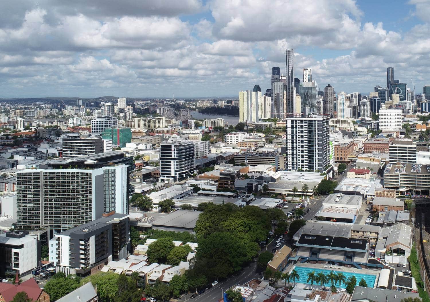
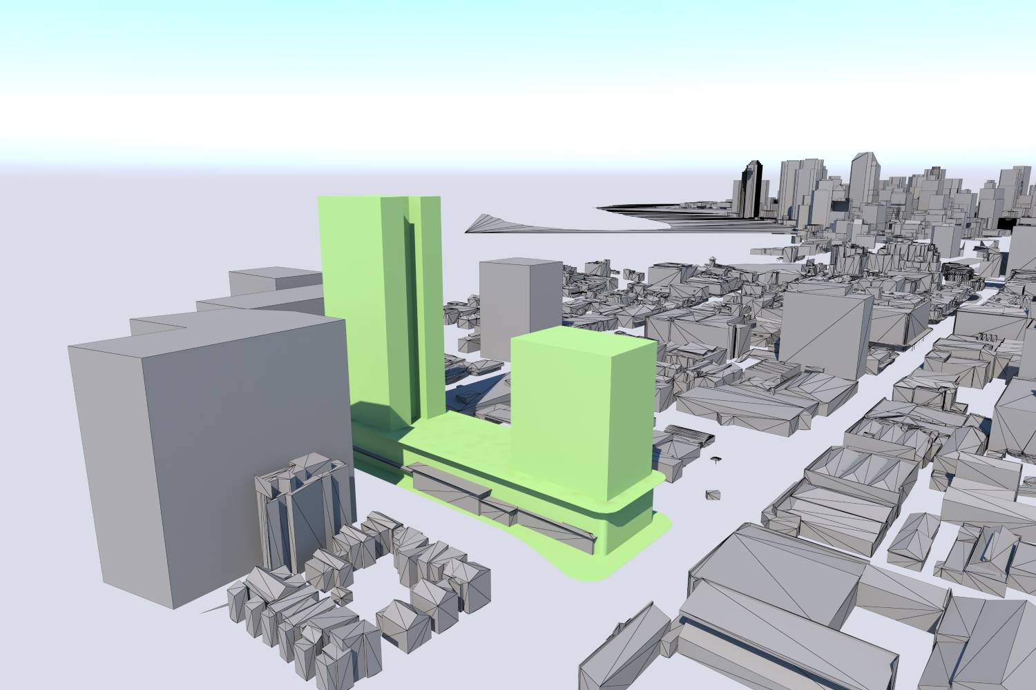
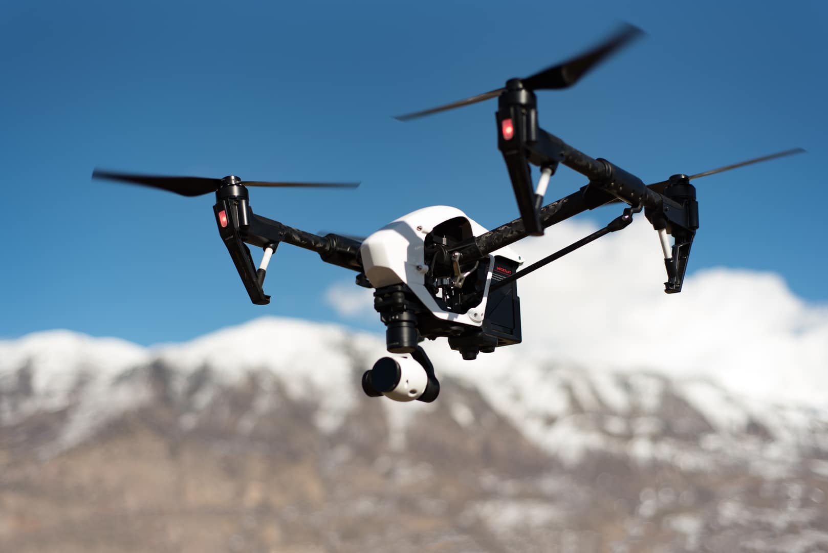
Avian Australia’s expertise in aerial photography, surveying and mapping has showcased the value of cutting-edge technology in the AEC sector. By offering cost-effective and high-quality aerial perspectives, they have empowered their client to enhance the visual impact of their architectural renders and improve their overall project efficiency. This case study demonstrates how innovation and precision can drive success in the dynamic field of Commercial Architecture.