Category: Drone Modeling
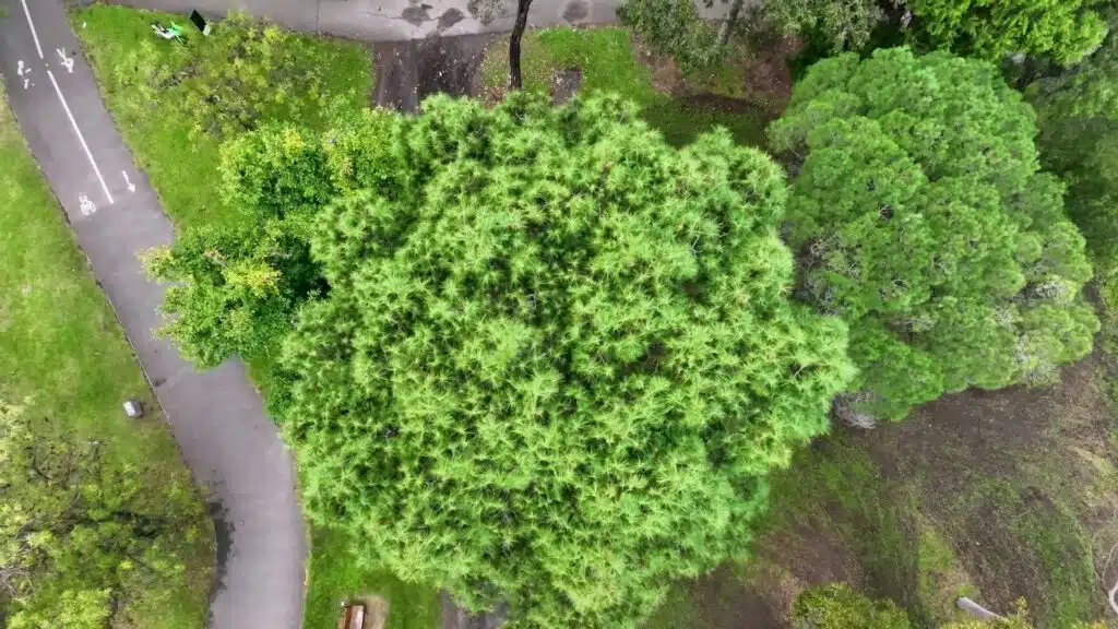
Visual Tree Assessment Techniques for Comprehensive Tree Safety Audits
April 30th, 2024 by avianTrees play an important part in our symbiotic balance with nature, and it is all the more critical now as to how we nurture breathing pockets in our urban landscape. However, this comes with a list of challenges where trees can be hazardous when they break or fall with or […]
Read More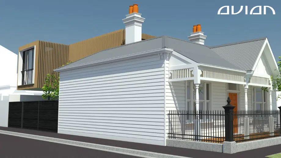
3D Modelling & 2D Architectural Rendering Cost Guide in Melbourne [2023]
October 11th, 2022 by avian3D Modelling and 2D Architectural Rendering allows you to bring concepts and designs to life via immersive and interactive 2D and 3D environments and replicate buildings into impressive visualisations. This process of generating 3D models when done right, can turn the most complex infrastructure designs into a powerful and feature […]
Read More
5 Ways To Build a Construction Sitemap and Model With Drones
October 8th, 2021 by avianSite visualisation and topographical models are an important tool for project managers, site supervisors and engineers to understand the status and issues of any construction project. Engineers need site data to meticulously design important features like drainage, roads, paths and signalling. Constructors need data from topographical or contour surveys to ensure everything […]
Read More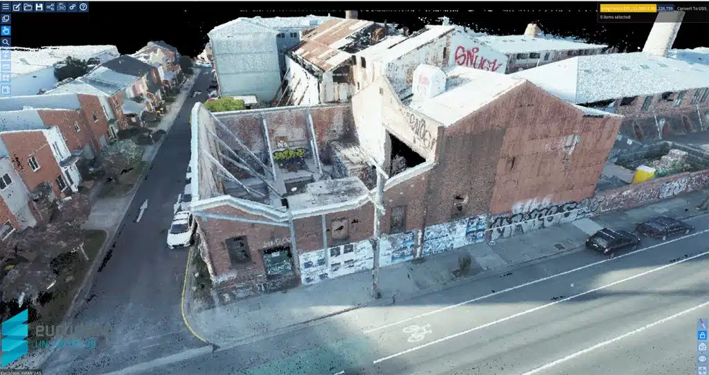
Using Drones for Creating Building 3D Models For Architects
July 28th, 2021 by avianAre you tired of hand drawing designs and blueprints only to have them rejected or redrawn over and over again? Have you ever considered how much time multiple site visits and a the measure up process costs the business? Do you want to upgrade your firm’s 2D designs to 3D […]
Read More