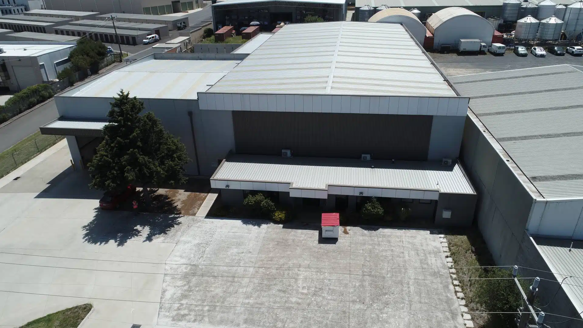
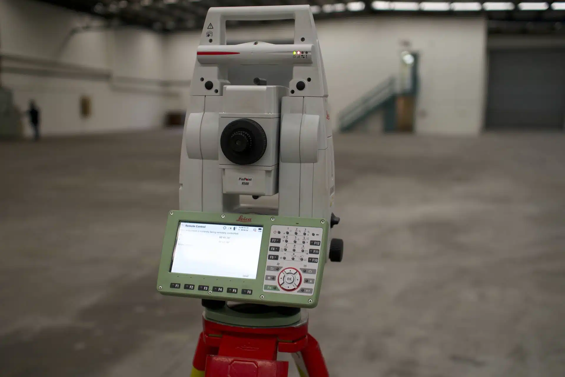
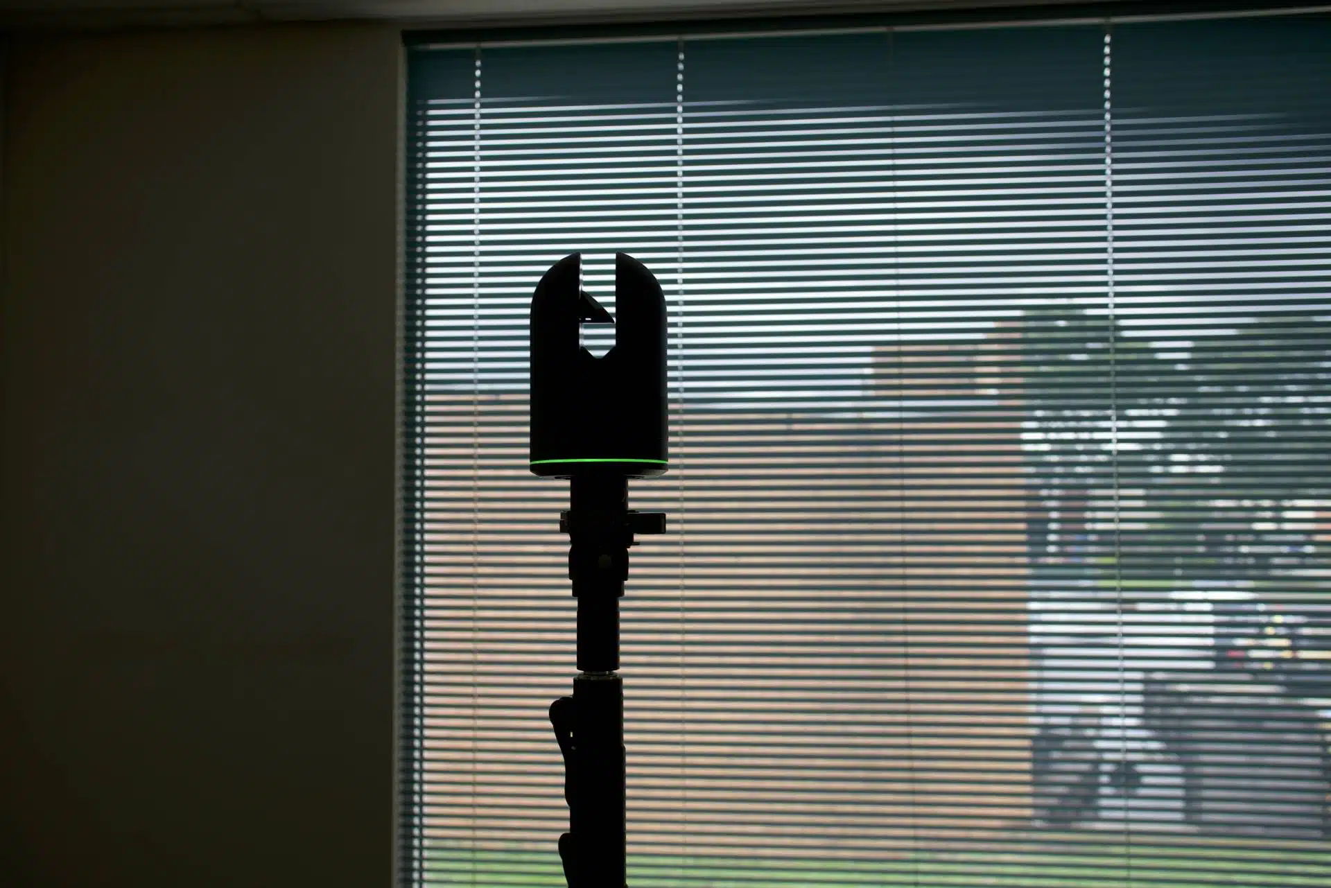
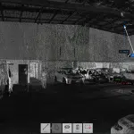
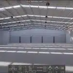
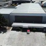
Warehouse Laser Scanning - An Avian Case Study

Avian Australia delivers Commercial Warehouse laser scanning reports using accurate 3D models for Civil 3D, Revit and ArchiCAD.

Commercial warehouse fit-outs have traditionally been difficult to measure up for Architects, Fit-Outs, Building Designers, Refurbishment and similar clients. The complex steelwork in the ceiling is difficult for a surveyor to measure and will take days to conduct a feature survey of the interior and exterior then more time to draft as-built drawings. As you can imagine this is quite a cumbersome task with some areas that are just too difficult to reach i.e. rooftop assets and roof cavities. 

Avian Australia has developed a laser scanning methodology based on surveying principles to deliver clients millimeter accurate 3D models for integration in Autodesk Revit, Civil 3D, CAD, Rhino or Microstation. Our process includes scanning the external rooftop assets and exterior of the building for a comprehensive 3D model, plans and drawings of the as built structure and entire site area.

Avian Australia, a surveying, imaging and visualisation company who partners with the AEC (Architecture, Engineering and Construction) industry to deliver quality assured, digital data and visualisations on real-world environments to generate client driven solutions.

“Avian Australia has developed a laser scanning methodology based on surveying principles to deliver clients millimeter accurate 3D models for integration in Autodesk Revit, Civil 3D, CAD, Rhino or Microstation.”

To complete a measure up and site analysis of a Commercial Warehouse requires patience and focus not to mention nearly a week to navigate the entire premises both inside and out and measure every extent! Fortunately, we take some of the guesswork out by using Leica Geosystems 3D laser scanners, also known as LiDAR scanners.

In partnering with Indiecad we developed a tailored scan-to-model process, specific for these types of Commercial Warehouse premises using 3D laser scanners, Total Stations, GNSS Receivers and enterprise level drones. Using our laser scanning methodology ensures independent checks at key stages of the process to ensure the highest accuracy and precision of the measurements and surveying observations. 

In this example we review the benefits of using Avian Australia for 3D laser scanning and 3D modelling for a Commercial Warehouse.laser scanning

The Project

The client required updated drawings (plans) and a 3D model for the fit-out and installation of machinery in the warehouse. Using manual methods to measure up this space would take days to measure up and then weeks to draw and model into a 3D replicate. Avian Australia were engaged to provide the client with updated drawings and an accurate 3D model of the warehouse. The benefit of using the Avian Australia laser scanning methodology is that we are able to complete our onsite measurements and scans within a day and provide the finished plans and 3D Revit model within a week from the scan.

Avian Australia deployed multiple laser scanners, a Leica Geosystems Total Station and professional drone to complete the data acquisition to the required surveying specifications.

The Benefits

  • The data acquisition onsite is completed within one day
  • Plans and 3D models are delivered to the client within 7 days from survey
  • The laser scanners obtain 360, 000 laser point measurements per second
  • 3D Revit models are easily integrated for interior design and planning
  • The digital records are accessible for upto 7 years, avoiding future site visits
  • Updated site plans and drawings are included avoiding the need for additional surveying at the premises
  • Roof assets are included, avoiding the risk and cost of arranging a contractor for roof access.

Related Projects