



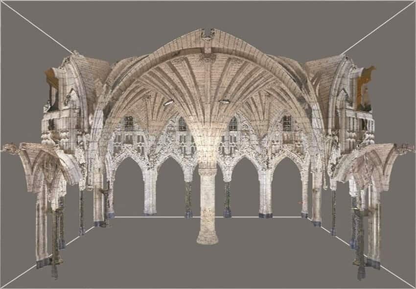
Laser Scanning for Heritage Preservation: Accurate Documentation of Historic Sites
Discover how Avian uses point clouds to streamline project timelines, helping teams achieve smoother workflows and fewer costly delays.

3D Laser Scanning for Mining: Accurate, Efficient, and Safer Surveys
Discover how Avian uses point clouds to streamline project timelines, helping teams achieve smoother workflows and fewer costly delays.

How 3D Laser Scanning Streamlines Airport Terminal Renovation Projects
Discover the top 10 uses for point cloud surveys, from heritage preservation to infrastructure projects, and explore the key benefits of this 3D technology.
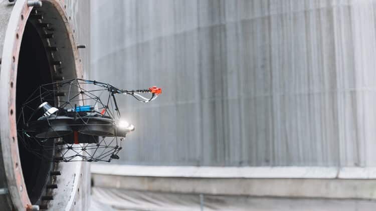
Top 10 Uses for Point Cloud Surveys
Discover the top 10 uses for point cloud surveys, from heritage preservation to infrastructure projects, and explore the key benefits of this 3D technology.
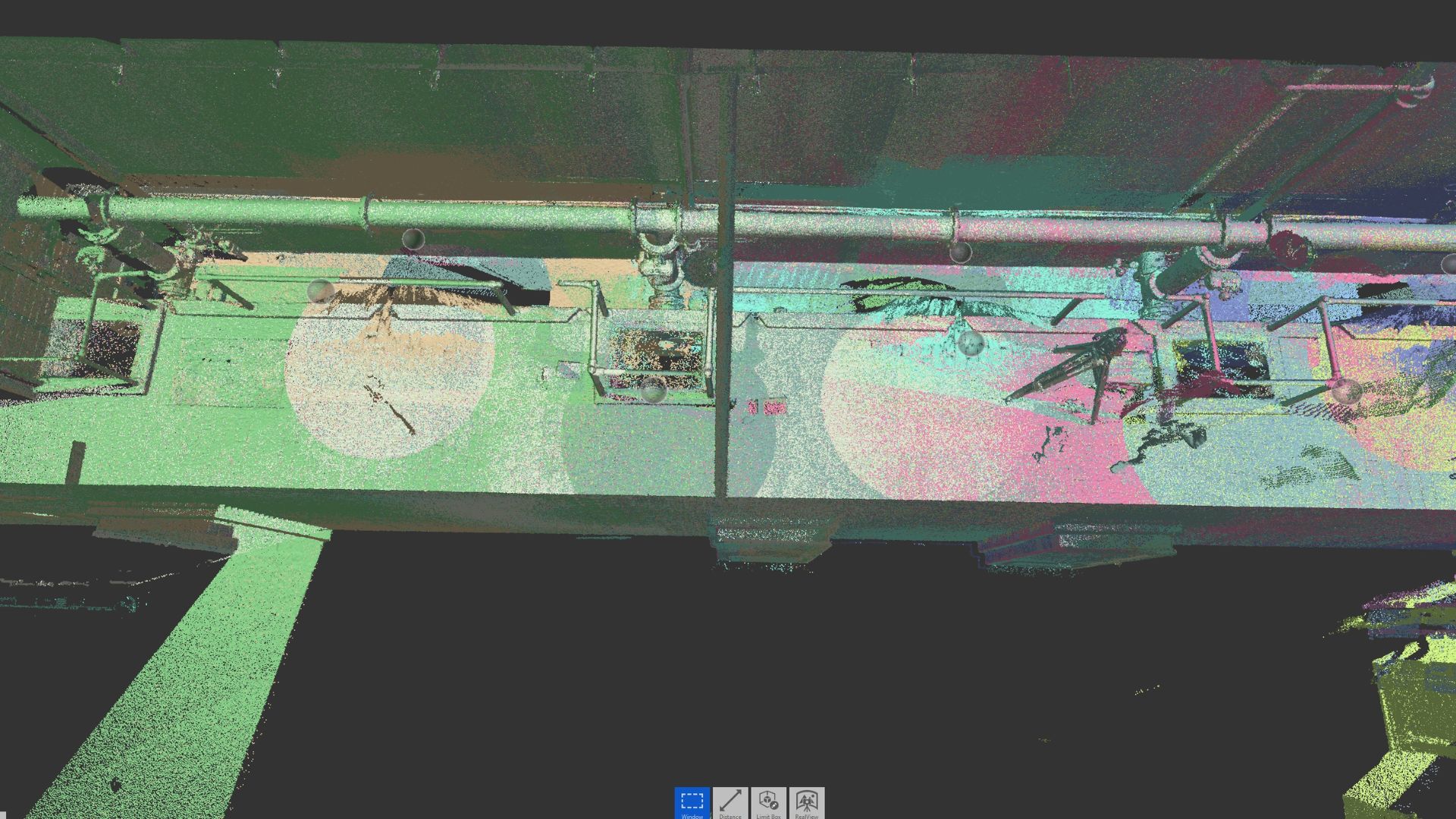
How Do Architects Use Point Clouds to Streamline Project Timelines?
Discover how Avian uses point clouds to streamline project timelines, helping teams achieve smoother workflows and fewer costly delays.

5 Uses for Point Clouds in Engineering Projects
Discover 5 ways point clouds support engineering projects with accurate data, BIM integration, retrofitting, collaboration, and cost savings.
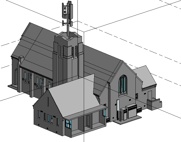
How Does 3D Laser Scanning Support Refurbishment and Fitout Projects?
Curious about 3D laser scanning in construction? Find out how it delivers accurate site data, faster timelines, and fewer costly mistakes.
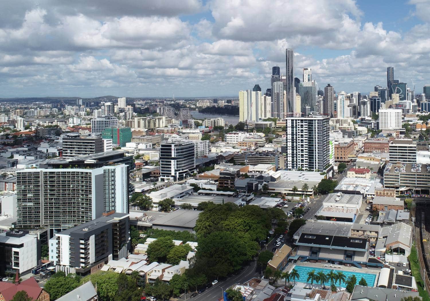
Top Tips for Hiring Aerial Drone Photography in Melbourne
In Melbourne’s fast-paced architecture, engineering and construction (AEC) sectors, aerial drone photography is a game-changer.From capturing sweeping site overviews to inspecting hard-to-reach structures, the insights gleaned from above have rapidly transformed how professionals document progress, verify data and market their work.But with so many providers vying for attention, how to
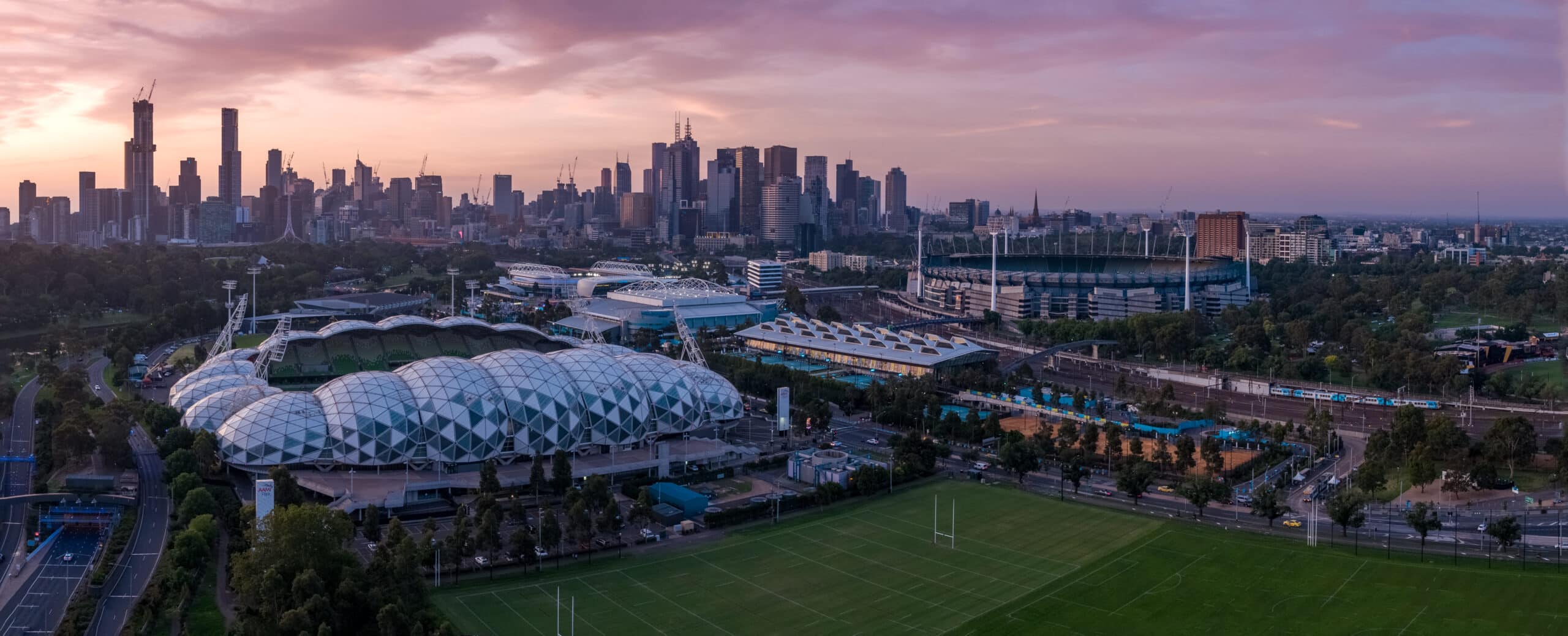
Top Uses of Drone Mapping in Melbourne’s Urban Projects
In recent years, drone technology has revolutionised the way we capture and interpret the world around us. No longer confined to aerial photography, today’s unmanned aerial vehicles (UAVs) deliver centimetre-accurate maps and 3D models that inform critical decisions in urban planning and infrastructure development.In Melbourne, where a delicate balance between

3D Laser Scanning vs. Traditional Surveying for AEC Projects
Accurate site data is crucial to every phase of an Architecture, Engineering and Construction (AEC) project. In Australia, where expansive urban growth in cities like Sydney, Melbourne and Brisbane coexists with heritage preservation and regional infrastructure, precise surveying can make or break project success. Today, a growing number of Australian firms