



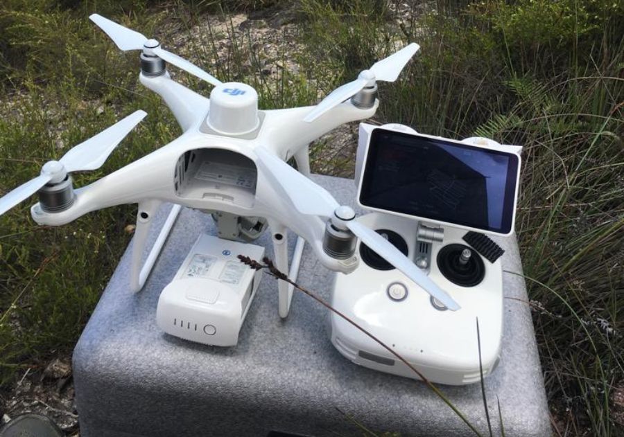
GCP Vs RTK Vs PPK Drone Surveying – Which one to choose? With Examples
Drones (or UAVs) have completely changed the way we conduct land surveying over large areas. And the main reason why AEC professionals are using drones in land surveying is efficiency and data quality. Drones come equipped with GPS and GNSS navigation that reduces the risk of human errors and increases
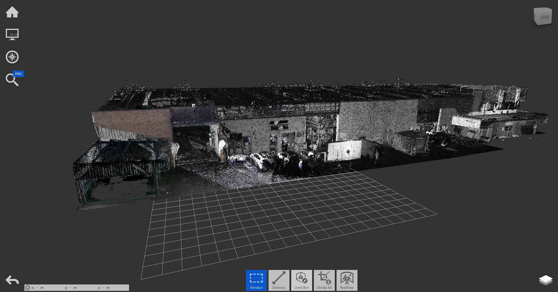
How much does 3D laser scanning cost in Australia?
Cutting-edge 3D laser scanning technology has revolutionised the Architecture, Engineering and Construction (AEC) industries across the world, including Australia. Architects, engineers and construction managers can incorporate accurate 3D models into their design and build workflows easily thanks to these lightweight, accurate and portable technologies. With so many advantages and features

Commercial Aerial Building Inspection Costing Guide [Updated 2026]
A Building Inspection process involves a comprehensive evaluation of the building with a particular focus on visible defects and existing conditions which might lead to structural degradation and any identifiable defects of the exterior and interior elements of the property. This process culminates into a statutory and actionable report per Building regulations

Top 9 Drones For Asset Inspections & Site Inspections in Australia
Not just in Australia, but across the world drones play an essential role and are a crucial tool for inspection contractors, on-site engineers, project and building managers. Drones, like any specialised tool, are specialised for different purposes and can be integral in a range of innovative applications like aerial asset
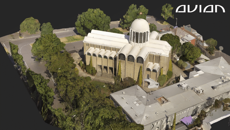
Photogrammetry Costing Guide To Measure Buildings [Updated 2026]
Aerial surveying (Drone Surveying, Drone Mapping) has become quite popular over the past decade, thanks to the rapid rise of drones, LiDAR scanners, RTK GNSS Rovers, Robotic Total Stations and other advanced surveying tools. In this blog, we will cover in detail about photogrammetry cost estimates for surveying buildings in Australia.Drones and LiDAR scanners
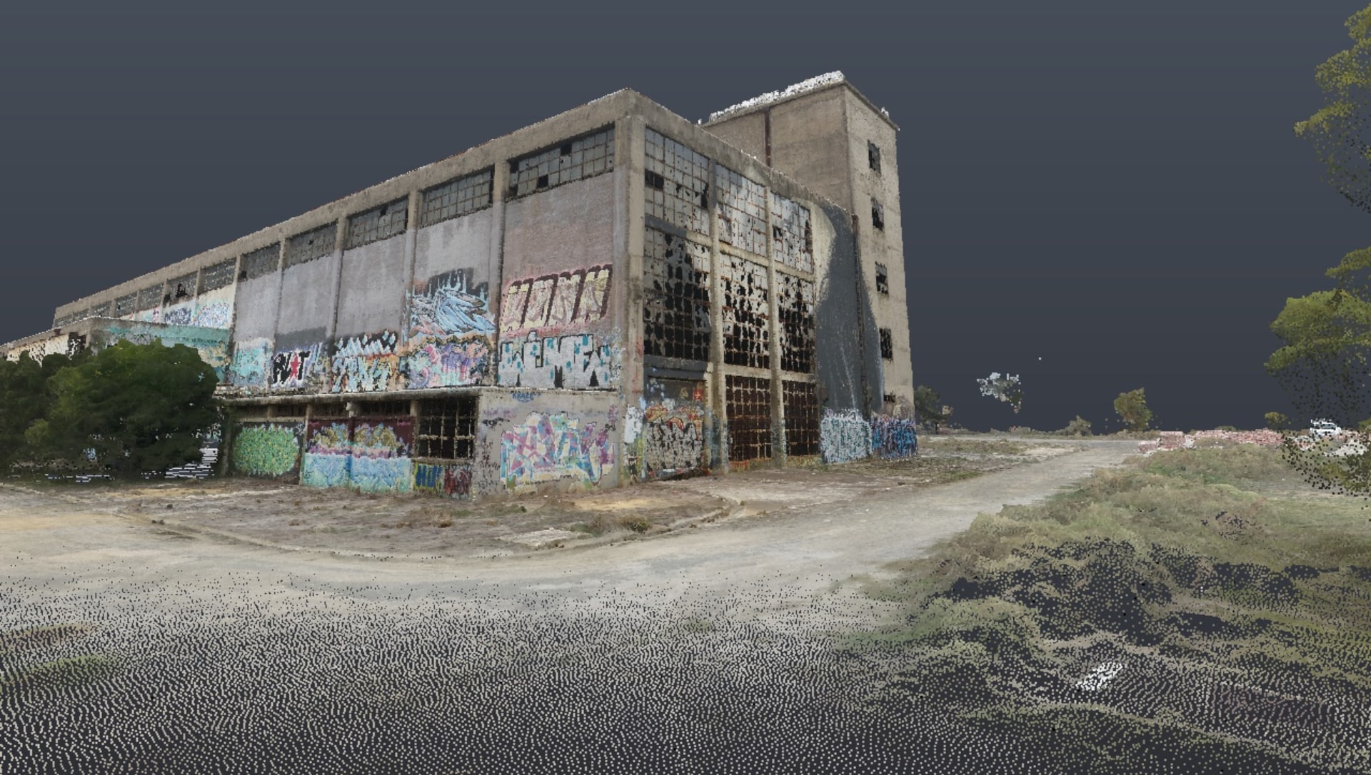
Revolutionising Construction – The Benefits of 3D Laser Scanning and As-Built Surveys
In the world of construction, accuracy and efficiency are two key factors that determine the success of a project. With the advent of 3D laser scanning technology, as-built surveys have become more accurate, efficient and faster than ever before. In this article, we will discuss the benefits of 3D laser
Ultimate Guide to CASA Drone Rules in Australia 2026
Commercial drones have become a standard surveying tool in the field of architecture, engineering, and construction in Australia. The construction industry in particular has historically been the fastest growing commercial adopter of drones ahead of mining and agriculture. ABS innovation data highlighted that 39% of businesses in construction introduced a new

What are Feature Surveys? How do drones deliver them faster?
It is no simple feat to construct a building from the ground up or renovate an existing property. There is much thought and meticulous planning that goes on behind the scenes. Feature surveys and boundary (or investigation) surveys are among the first steps land surveyors take to get accurate site dimensions and
Why You Should Never Search for “Land surveyors near me” on Google?
The reason why is much simpler than you might think. When you search on Google with the query - “land surveyors near me” you are asking for the top 3 Google business listings which are closest to your present location. They are ranked by Google using a list of key attributes of

10 Pros & Cons of Unmanned Aerial Systems (UAV) for Surveying & Mapping
Drones have been around for a while now, used actively in the AEC (Architecture, Engineering & Construction) industry for surveying and aerial mapping, site and asset inspections, drone photography for project marketing and more. These flying cameras are accessible, convenient, and a great alternative to manual site inspections or helicopters. Our