



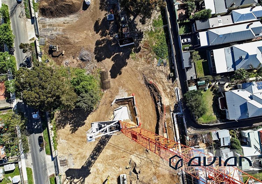
9 Ways Drones can help Builders with Construction Surveys
Builders and on-site engineers complete many activities before actual construction work begins. Land surveyors use set surveys to check if the on-paper design translates to the actual position on the ground.Construction Surveys Service involve transferring the design of the building to the land so that builders can construct the building in

Topographical Surveys Using Drones
Drones are still considered a reasonably unconventional choice among surveyors regarding topographical and feature surveys. Most construction companies and builders prefer the traditional method of hiring a land surveyor to walk around the property, taking measurements along the way. The trouble with this ‘boots on the ground’ approach is that it

Commercial Dilapidation Surveys Using Drones
Drone inspections are an efficient, cost-effective and safer alternative to manual inspections on buildings, roofing, bridges and towers. Plus, drone inspections can provide insights into the existing conditions that a traditional inspection could overlook. According to an article on building inspections by Houspect Victoria “Building inspections using drones eliminates most of the
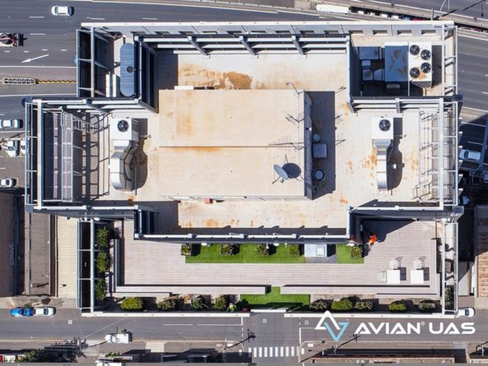
5 Costly and Shocking Mistakes during Aerial Surveying and Mapping using Drones
Aerial surveying using drones is a game changer for architecture, engineering and construction (AEC) companies. Every aerial survey and mapping project aims to collect site data and generate 2D or 3D maps and 3D digital models that fulfill the accuracy standards of both surveyors and engineers. And as useful as drone
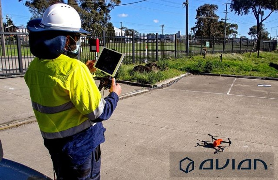
Watch out for these common mistakes when conducting drone inspections
Drone inspections are an integral part of all architectural, engineering or construction (AEC) projects. You can find drones everywhere, from single-storey residential projects to multi-million dollar high-rise commercial construction projects.However, the drone inspection is only as good as the operator controlling the machine. The simplest mistake can cost you and

5 Easily Overlooked 3D Laser Scanning Mistakes & How To Avoid Them
Imagine a scenario where all the equipment is ready, you have set up the total station and made observations and the 3D laser scanner is also set up and ready to scan the site. Just before you carry out the inspection, you find that the LiDAR scanner is not working correctly.Time to

Why do drone surveying projects fail? How to guarantee success!
Construction sites are a dynamic and busy operation and project managers and builders need to constantly check and recheck site operations and contractors to ensure that everything is on schedule and on time. As you would likely agree, it’s probably easier said than done! That’s why, new technologies in drone surveying

6 Point Checklist to Hire 3D Laser Scanning Services
I’m sure you already know all about 3D laser scanning and how it helps Architects, Engineers and Construction Managers cover more ground and gather accurate on-site information in record time. But seldom do we make the most of this new technology without a little helpful advice.In order to realise the

Choose the Right Land Surveyor for Hire with this Checklist
Looking for a reliable land surveyor for hire? Be wary of hiring the first land surveyor who pops up in your search results! Sometimes, finding a trusted land surveying company in Melbourne can be quite hard to come by even after spending years working on construction sites. I have seen countless

Drone Inspections vs Manual Inspections
It is no hidden fact that aerial surveys are far more effective than manual inspections when it comes to collecting accurate site data. Drones or UAVs take aerial inspections a notch higher. These little flying machines have completely automated the surveying process making life easier for AEC professionals. Here is a short