Drone Inspections vs Manual Inspections
It is no hidden fact that aerial surveys are far more effective than manual inspections when it comes to collecting accurate site data. Drones or UAVs take aerial inspections a notch higher. These little flying machines have completely automated the surveying process making life easier for AEC professionals. Here is a short
Which is better: Owning or hiring a drone service provider?
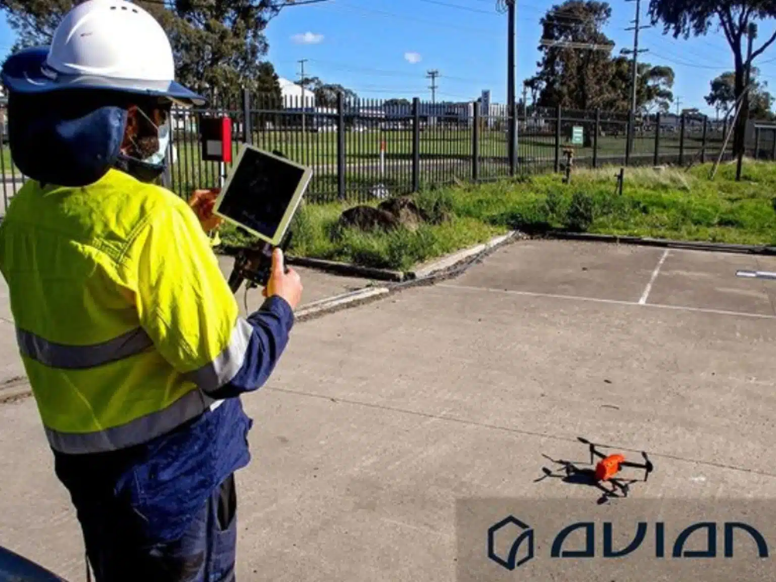
Drones have become increasingly popular in architecture, engineering and construction projects over the past decade and for good reason too! UAVs or unmanned aircraft vehicles are a profitable alternative to manual inspections and physical site visits. Building managers and contractors no longer have to spend hours under the sweltering heat inspecting

Ultimate Guide to Use Drone Videography for Property Development Marketing
Drones are prevalent pretty much everywhere. In Australia, you can find these little flying machines hovering over construction sites, building projects, quarries, underground mines etc. Drones are not just limited to military bases and AEC projects. UAVs are also used extensively in real estate marketing. Read on to know how builders are
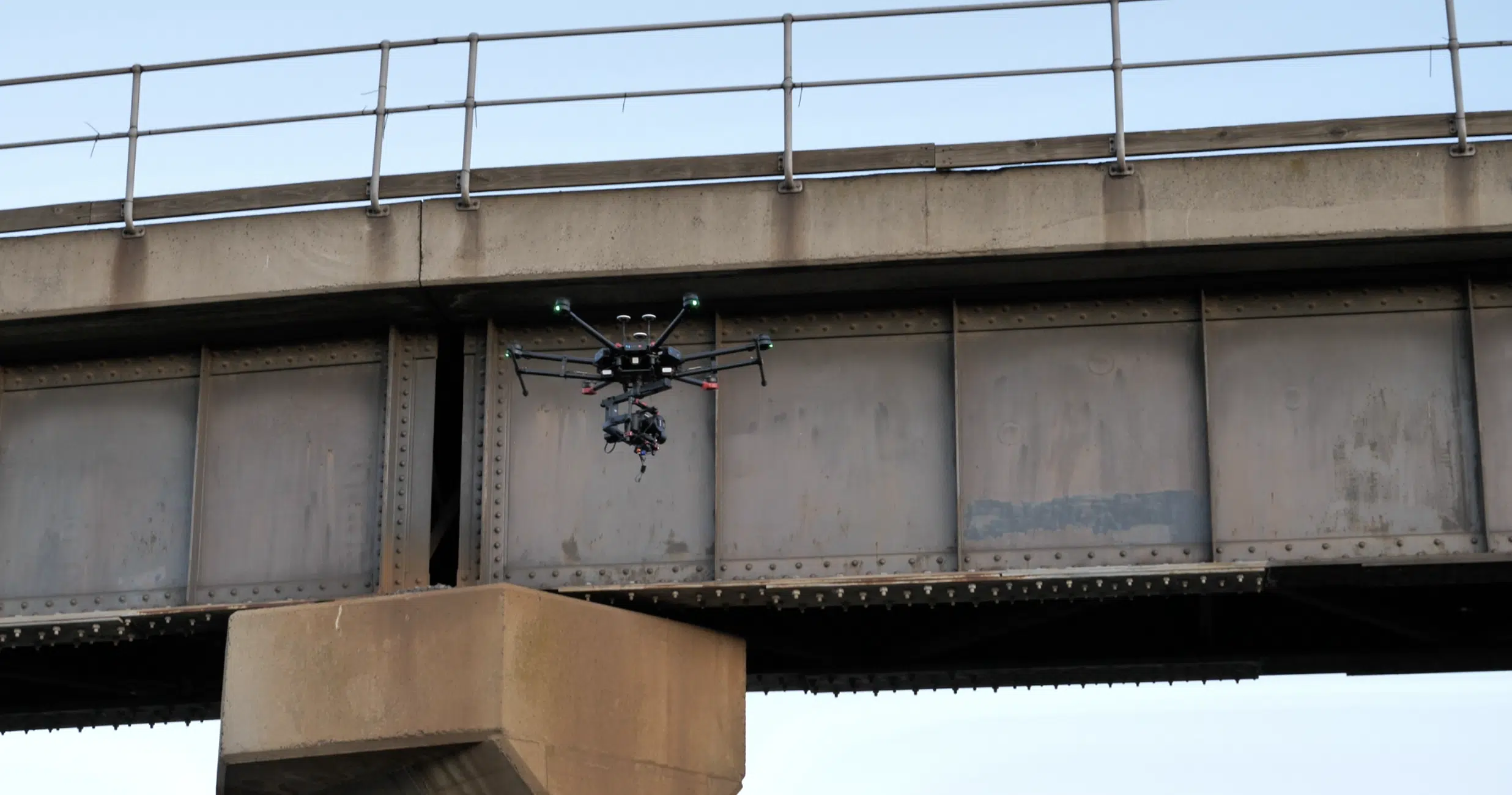
5 Ways Drones have made Aerial Asset Inspections Safer and more Efficient
Drones are a must-have tool for contractors, on site engineers and building managers in Australia. These little flying machines are gaining popularity among AEC professionals for conducting safer asset inspections. You don’t have to spend weeks inspecting every industrial equipment on the site. Now, you have drones to do the job
5 Ways To Build a Construction Sitemap and Model With Drones
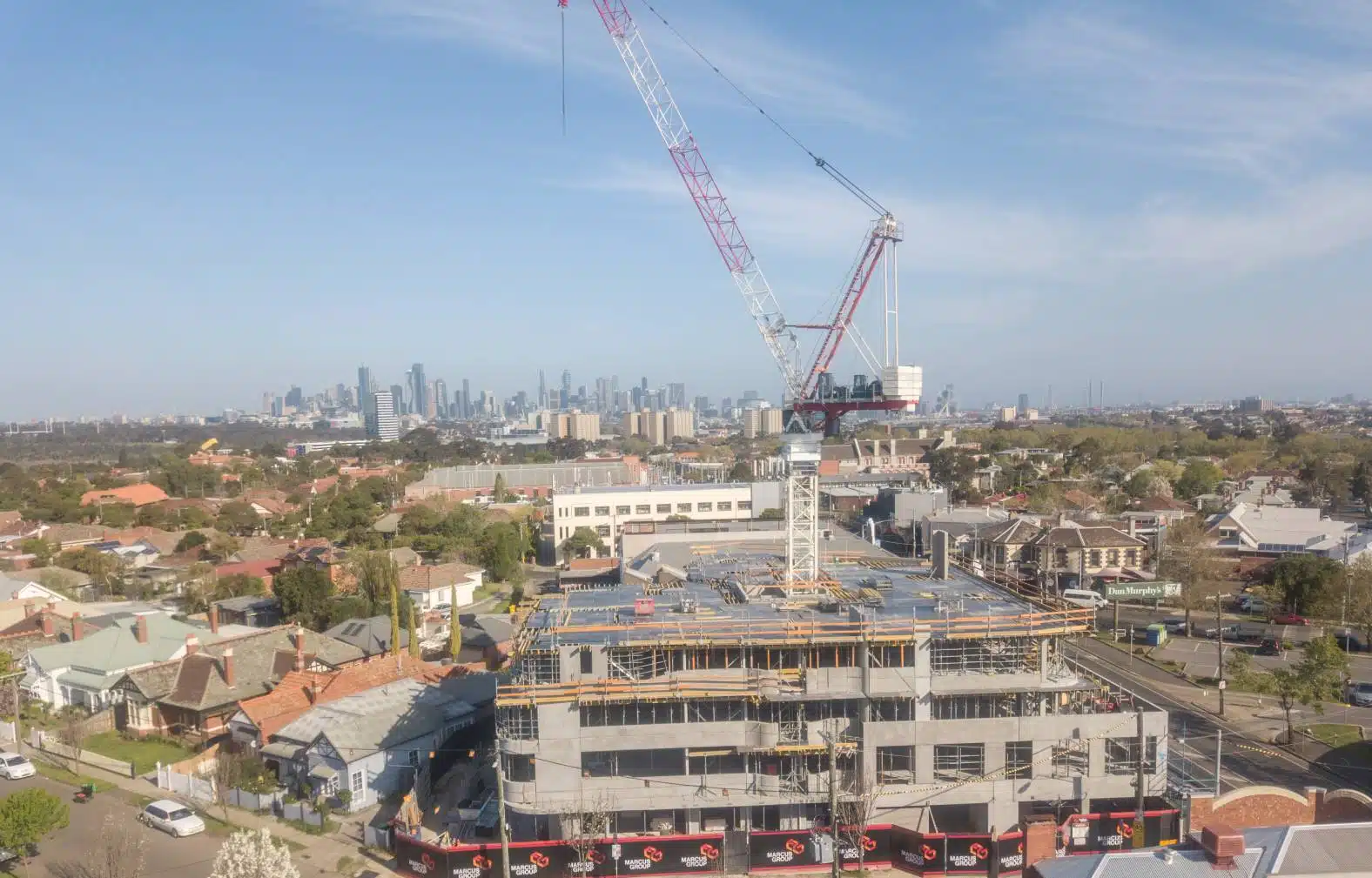
Site visualisation and topographical models are an important tool for project managers, site supervisors and engineers to understand the status and issues of any construction project.Engineers need site data to meticulously design important features like drainage, roads, paths and signalling. Constructors need data from topographical or contour surveys to ensure everything is
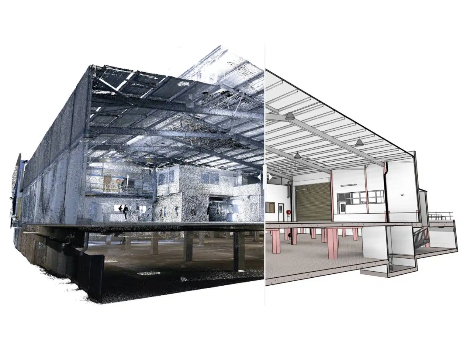
12 Laser Scan to Model Best Practices For Architects
LiDAR scanners have become an indispensable part of any architectural project. These cutting-edge machines help architects collect accurate site measurements, capture important site details and so much more.But did you know that the benefits of laser scanning go far beyond 3D architectural visualisation? 3D Laser scanning in particular plays a