



How Digital Twin Technology Uses 3D Scan Data in Construction
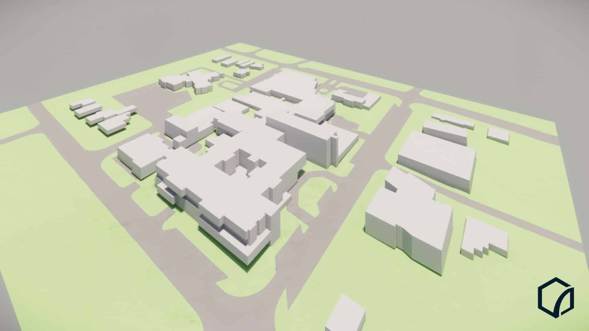
A BIM model tells you what was planned. An as-built survey tells you what was built. A digital twin goes further: it tells you what’s happening right now, and what’s likely to happen next. By layering real-time sensor data onto a verified 3D model, digital twins provide construction and operations
Unveiling the Process of GIS Mapping Services 2026
The construction industry has made significant strides from its past practices, where manual inspections were relied upon by builders and construction managers for gathering site information.Today, we are fortunate to have an array of technologies such as GPS, laser scanners, drones, and other advanced tools, which facilitate efficient data gathering,

Construction Site Assessment & Monitoring Costing Guide 2026
Technology has changed the way we manage construction and surveying in drastic ways. With the improvements in GPS, microprocessors, drones, laser scanning and internet of things (IoT) we could assume life has been made easier for project managers, builders, surveyors and engineers in the AEC sectors. One area of construction that

Site Measure Up – What are the benefits, and why do it?
A construction project is more than just pouring concrete and hammering nails. It involves meticulous planning, coordination and execution. For the pre-construction stage, Architects use land surveys to gather important data about the property to prepare their designs and planning approvals. These surveys give architects insights into the subject property's current
Aerial Asset Inspection Costing Guide [Updated 2026]
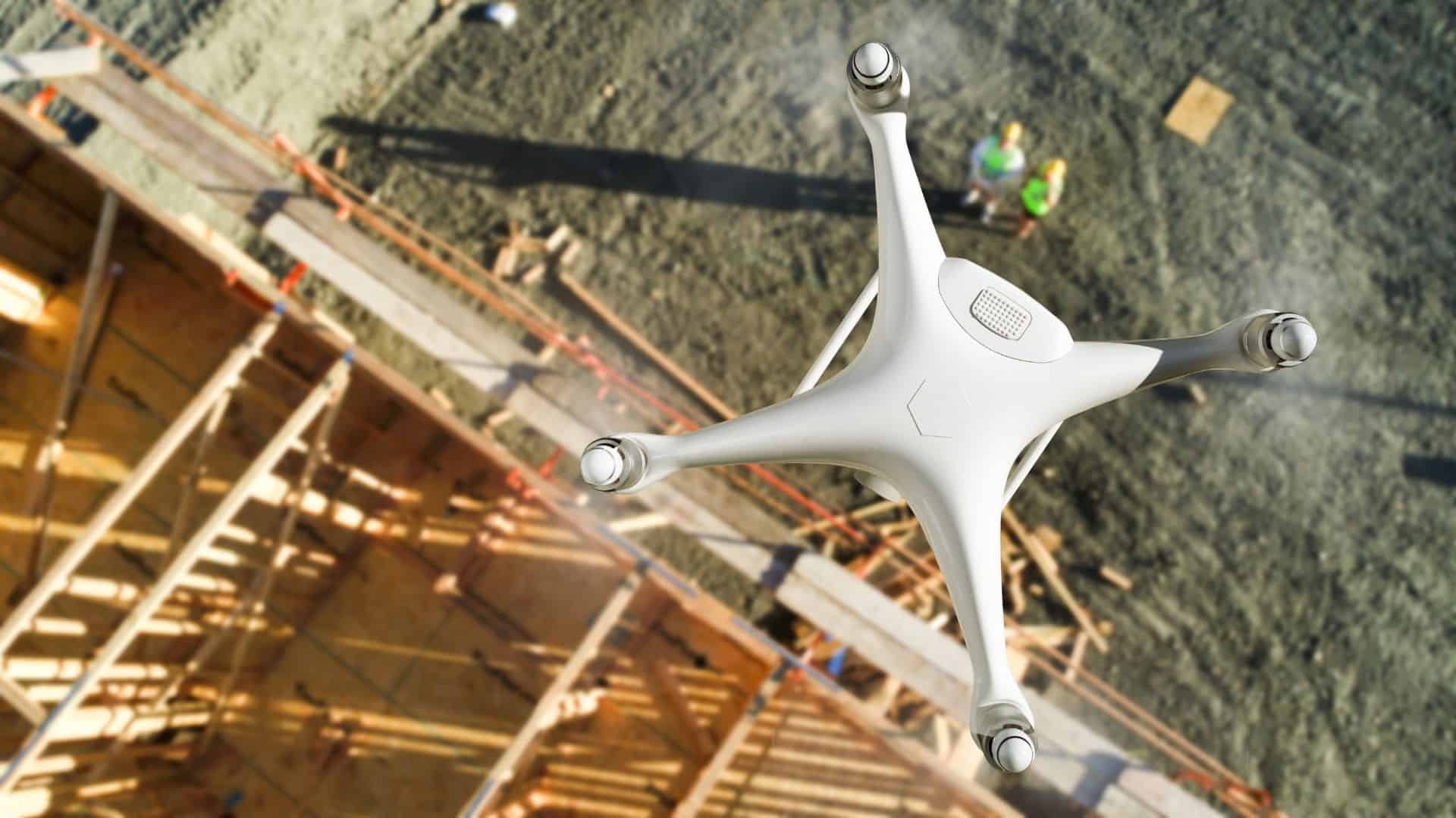
Aerial asset inspections in Australia typically cost between $250 and $1,500 per hour, depending on the type of inspection, the equipment required, and the complexity of the site. Four factors set the price within that range: the size of the asset, its aspect (how many faces or angles need capturing),

22 Benefits of 3D laser scanning in Architecture and Construction
3D Laser scanning is among the most popular and effective methods to capture accurate site data. It offers architects and designers plenty of benefits over conventional surveying methods. Read on to know about the advantages of 3D laser scanning services and how it helps with effective 3D architectural visualisation. Our Project
Construction and Building Set out survey Costing Guide for Melbourne
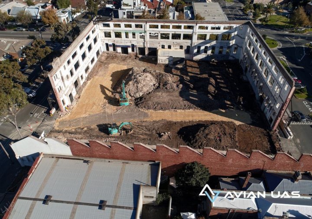
A construction set out survey gives builders, architects and site engineers the much-needed clarity and guidance on the ground to commence turning their designs into reality. Setout surveys are reference points for building and construction professionals to commence constructing a building as per the architectural plans/drawings. Set out surveys are usually

Advantages of Aerial Surveying with LiDAR Technology: A Comprehensive Guide
As a professional in the field of surveying, I have witnessed the rapid development of technology in the industry. One of the most significant advancements in recent years is the use of drone mounted LiDAR technologies. LiDAR (stands for light detection and ranging) is a remote sensing method that uses
As-Built Survey Cost Guide for Melbourne [Updated 2026]
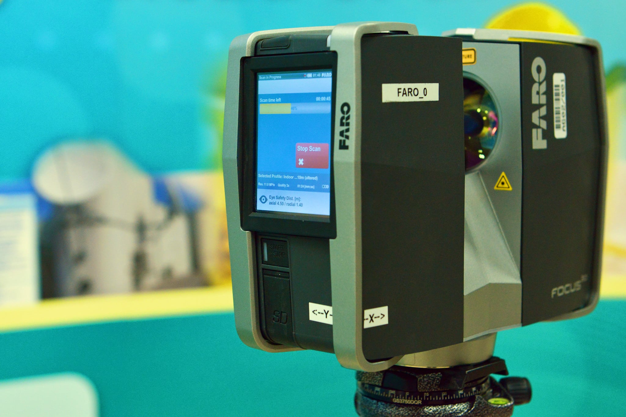
An As-Built survey starts from around $1,500 per site scan. The final quote is shaped by the size of the building, the number of rooms and levels, and the amount of detail required in the 2D drawings or 3D model. Single-storey residential interiors sit at the lower end, while multi-level
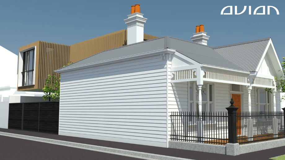
3D Modelling & 2D Architectural Rendering Cost Guide in Melbourne [2026]
3D Modelling and 2D Architectural Rendering allows you to bring concepts and designs to life via immersive and interactive 2D and 3D environments and replicate buildings into impressive visualisations. This process of generating 3D models when done right, can turn the most complex infrastructure designs into a powerful and feature