Land Surveying in Melbourne
Surveys from: $1,200
Standard turnaround: 3–10 days
Projects delivered: 500+
Public liability: $20M
What Is Land Surveying?
Land surveying in Melbourne is the science of measuring, mapping, and legally defining the physical world. It’s the foundational discipline behind every building permit, title transfer, and infrastructure project.
Six core elements define the practice:
- Measurement of distances and angles
- Boundary determination
- Elevation capture
- Three-dimensional positioning
- Computational adjustment
- Certified documentation
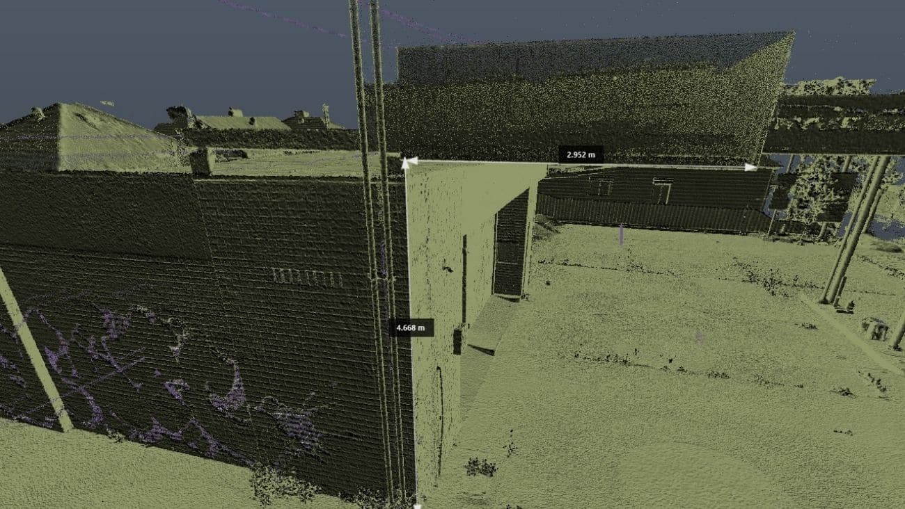
Modern surveying combines traditional total stations with GNSS satellite positioning and terrestrial 3D laser scanners that capture two million points per minute, producing datasets accurate to ±2mm that feed directly into BIM, CAD, and Revit workflows.
Working at scale? For large-area aerial capture, Avian’s drone surveying and mapping services operate as a dedicated sister service to our ground-based surveying capability.
Full Land Surveying Services in Melbourne
Avian offers a complete range of land surveying services in Melbourne to match every project stage and asset class, whether you’re lodging a subdivision plan, verifying as-built conditions, or monitoring structural movement on a heritage building.
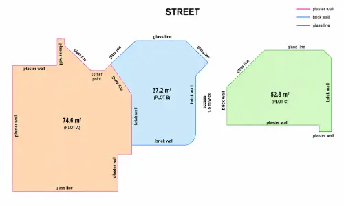
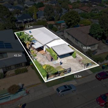
Cadastral Survey
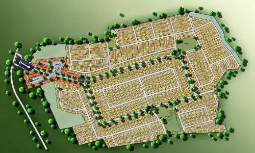
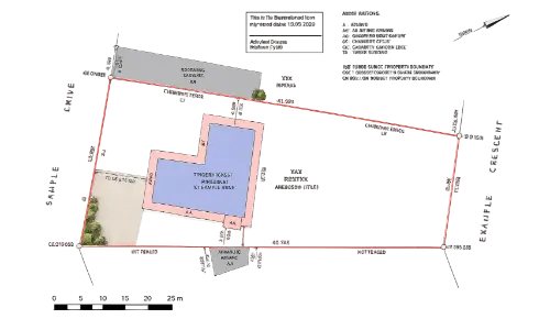
Legally defines parcel boundaries, re-establishes title marks, and produces a plan for registration with Land Use Victoria.
Feature & Level Survey
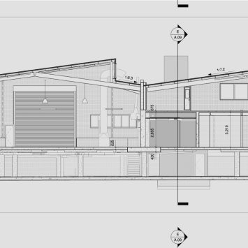
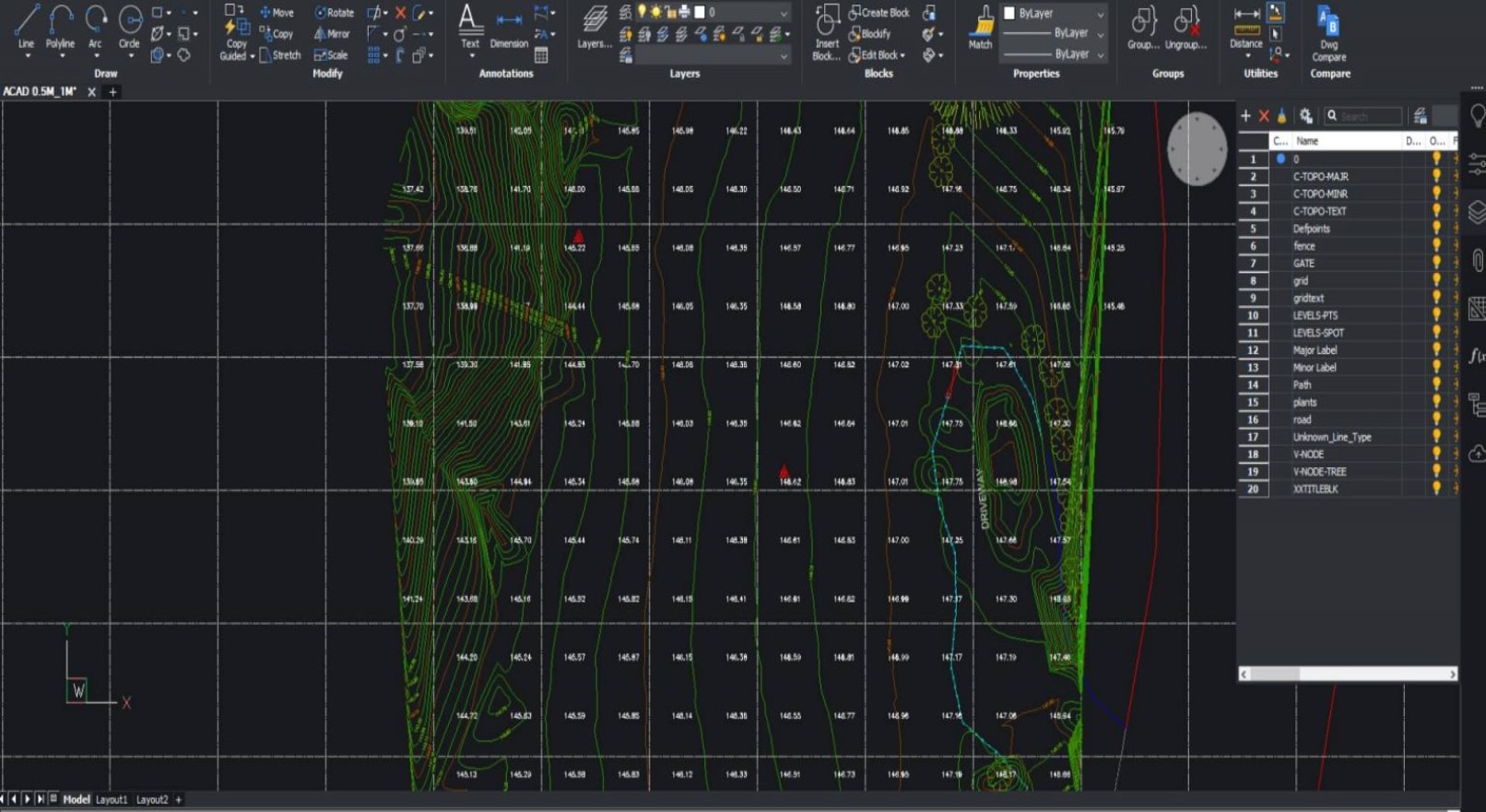
Captures all visible site features (structures, services, contours, and spot levels) as the base dataset for design and council applications.
Plan of Subdivision
Prepares, certifies, and lodges the statutory plan dividing land into new lots, including council and referral authority coordination via SPEAR.
Construction Set-Out
Translates design coordinates into physical marks on site so excavation, footings, and structure align to approved plans.
Topographic Survey
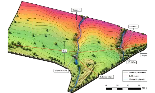
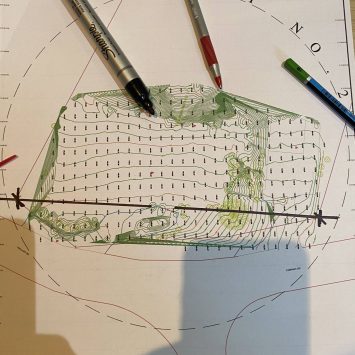
Delivers a detailed terrain model of an entire site, including natural features, drainage, and infrastructure for design feasibility and earthworks.
Boundary Identification
Re-locates and marks existing cadastral boundaries on the ground, providing certainty before fencing, construction, or dispute resolution.
As-Built Survey
Records the final constructed position of all works for compliance verification, asset registers, and future design reference.
3D Laser Scanning
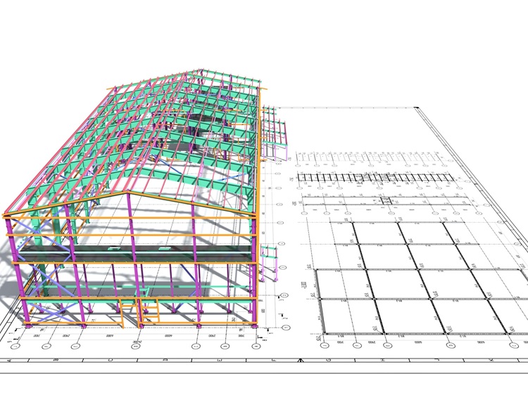
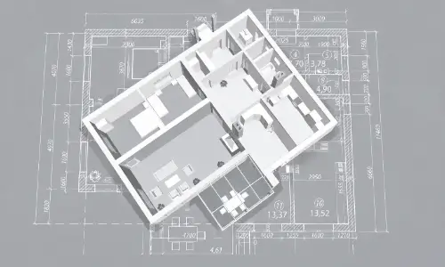
Captures a full-density point cloud of a structure or site using terrestrial scanners, feeding directly into 3D laser scanning deliverables, including BIM models, clash detection, and renovation documentation
Dilapidation Survey
Documents the pre-construction condition of adjacent structures with photographic and measured evidence to protect all parties.
Lettable Area Survey (NLA / GLA)
Measures net lettable and gross lettable areas to PCA or lease standard for commercial property transactions and valuations
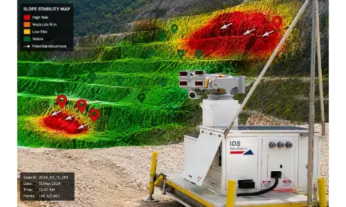
Monitoring Survey
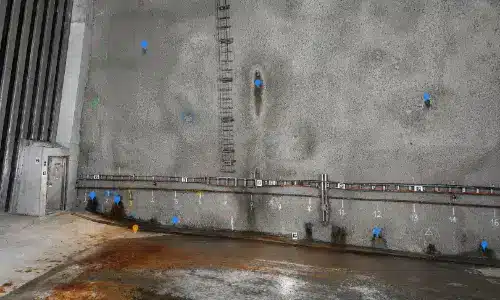
Tracks structural or ground movement over time using repeated, precise observations; essential for deep excavation, tunnelling, and heritage works
Engineering Survey
Provides control, alignment, and dimensional verification for civil and structural engineering works throughout the project lifecycle
*Pricing valid as of January 2026. Updated quarterly. Project-specific quotes provided within 24 hours.
Licensed Land Surveyors in Melbourne
Not every survey can be performed by just any technician. In Victoria, the law reserves certain survey types exclusively for licensed practitioners.
Every Avian cadastral survey is signed and certified by a Licensed Cadastral Surveyor registered with the Surveyors Registration Board of Victoria (SRBV) under the Surveying Act 2004 (Vic). Only a Licensed Cadastral Surveyor can sign and lodge cadastral plans, plans of subdivision, and title re-establishment surveys in Victoria.
Statutory Authority | Surveyors Registration Board of Victoria (SRBV) is the independent body that registers surveyors, sets standards, and enforces professional conduct in Victoria.srbv.vic.gov.au |
Primary Statute | Surveying Act 2004 (Vic) establishes the licensing framework, defines reserved survey types, and prescribes the obligations of Licensed Cadastral Surveyors.legislation.vic.gov.au |
Reserved Surveys | Five survey types are reserved by law: cadastral surveys, title re-establishment, plans of subdivision, boundary identification surveys, and other prescribed surveys must be performed and certified by a licensed practitioner. Surveying Regulations 2015 (Vic) |
Commercial vs Residential Land Surveying in Melbourne
The technical requirements, insurance obligations, and typical scope differ significantly between commercial and residential projects. Understanding which tier applies helps set accurate expectations on cost, timeline, and stakeholder coordination.
Aspect | Commercial | Residential |
Typical Site Size | 5,000+ m² | Under 1,000 m² |
BCA Class | Class 5–9 | Class 1–2 |
Insurance Required | $20M+ public liability | $5M+ public liability |
Typical Cost | $5,000–$50,000+ | $1,200–$4,500 |
Typical Timeline | 2–8 weeks | 3–10 days |
Common Surveys | Cadastral, set-out, as-built, 3D scan | Cadastral, feature & level |
Stakeholders | Owner, builder, architect, engineer, council | Owner, builder |
The Melbourne Land Surveying Process – Step by Step
Our licensed land surveyors in Melbourne follow a structured workflow that keeps projects on schedule, documentation compliant, and data ready to use the moment it’s delivered.
Briefing & Quote
Review property details, title records, and project objectives to scope the engagement accurately.
Site Inspection
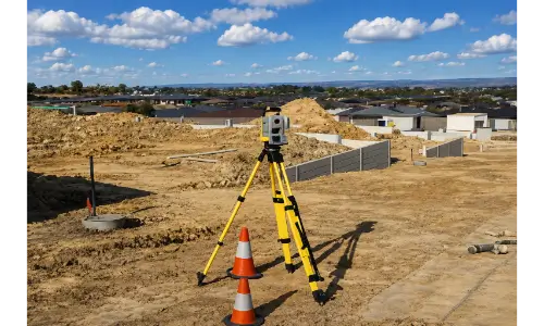
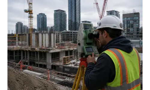
Field crew captures observations using total station, GNSS, and 3D laser scanners.
Data Processing
Least-squares adjustment, GDA2020 registration, and AHD reduction produce a certified dataset.
Drafting & Certification
Plan drafted in CAD and signed by a Licensed Cadastral Surveyor.
Plan Registration
Electronic lodgement with Land Use Victoria via the SPEAR system.
Title Re-establishment Surveys
Feature and Levels Surveys
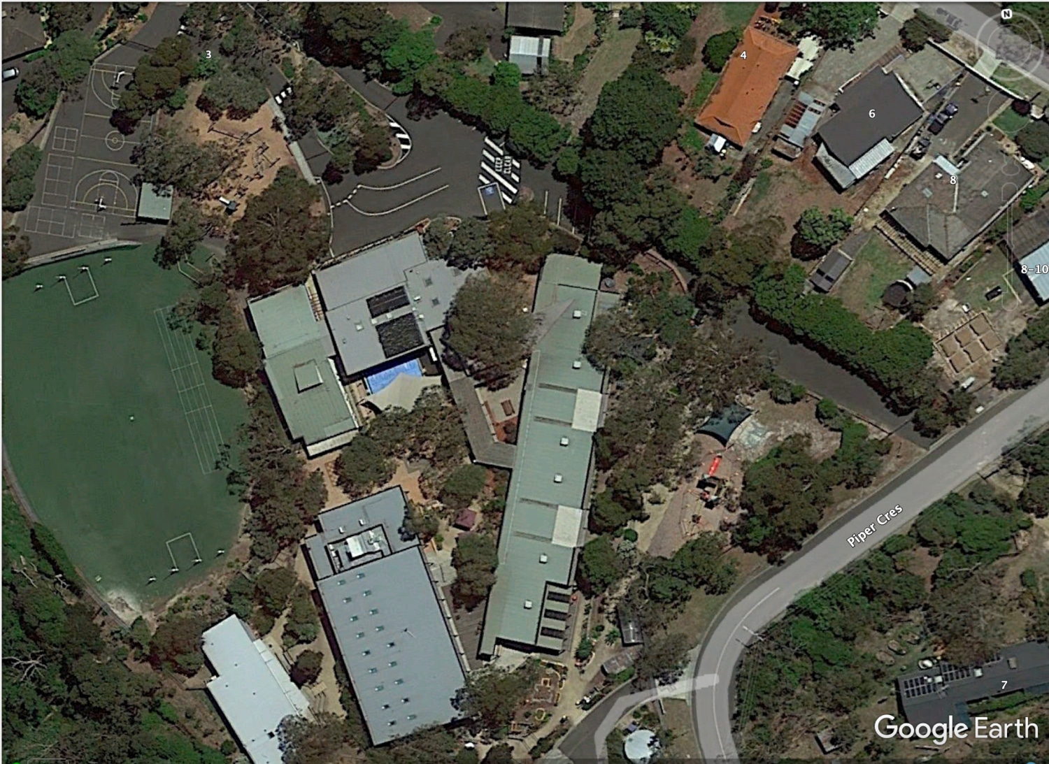
Large Land Area Surveys
When Do You Need to Hire a Land Surveyor?
- Buying or Selling: Confirm boundaries, identify encroachments, and verify parcel area before settlement to avoid post-purchase disputes.
- Building or Extending: A feature and level survey is required for most building permits; a set-out survey is required before excavation begins.
- Subdividing Land: A Plan of Subdivision must be prepared by a Licensed Cadastral Surveyor and lodged with Land Use Victoria.
- Boundary Disputes: A certified boundary identification plan is admissible evidence at VCAT, providing defensible proof of boundary location for tribunal hearings.
- Plan Registration: Electronic lodgement through Land Use Victoria’s SPEAR system requires plans certified by a Licensed Cadastral Surveyor with council sign-off.
±2mm Data Accuracy
Field observations and post-processing routinely achieve ±2mm absolute positional accuracy, meeting the tolerances required for BIM, structural monitoring, and high-precision construction set-out.
100% Licensed Personnel
All cadastral and regulated survey work is performed and certified by SRBV-registered Licensed Cadastral Surveyors.
Why Choose Avian for Land Surveying in Melbourne
$20M Public Liability Insurance
Full commercial-grade coverage on every engagement, meeting the insurance threshold required for government, infrastructure, and large commercial land surveys in Melbourne.
5+ Years Minimum Surveyor Experience
Every field surveyor and project lead on the Avian team brings a minimum of five years’ active practice.
500+ Projects Delivered
A proven track record across Melbourne metropolitan and regional Victoria, spanning residential subdivisions through to major commercial and infrastructure works.
±2mm Data Accuracy
Field observations and post-processing routinely achieve ±2mm absolute positional accuracy, meeting the tolerances required for BIM, structural monitoring, and high-precision construction set-out.
100% Licensed Personnel
All cadastral and regulated survey work is performed and certified by SRBV-registered Licensed Cadastral Surveyors.
Precision-driven land surveying in Melbourne
Land Surveying is a centuries-old profession that has evolved to incorporate leading innovation and digital technologies ,including drone surveying services, to deliver faster and more accurate observations and measurements including the ability to provide more site information that ever before.
Our local team of surveyors in Melbourne use a combination of geospatial, surveying and 3D laser scanning methods to capture onsite conditions faster, safer and smarter when compared to the traditional land surveying methods typically used across Melbourne and Victoria.
Here are a few key differences in the way we conduct surveys to ensure maximum value for our clients:
- Millions of data points captured onsite
- Faster onsite attendance and workflows
- Qualified and experienced surveying, laser scanning, geospatial and modelling expertise
- More onsite data supplied to clients including site analysis and neighbourhood context
- Short and long term monitoring of assets and existing conditions
- Multiple outputs available in both 2D and 3D formats including GiS applications
- Increased site context means better planning and decision making
- Improve planning and permit applications with more detailed information
- Increased client engagement from 3D visualisations and site tours
- Promote project success and improve future bids with project profile and case studie
Our Land Surveying Projects in Melbourne
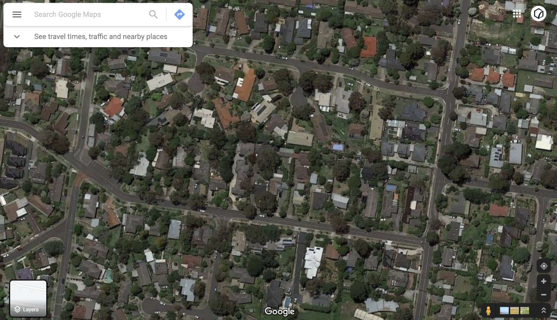
Popular Melbourne Metropolitan Area and Inner Suburbs We Cover
Request a free consultation and receive a project-specific quote within 24 hours.
FAQs about Land Surveying in Melbourne
We have answered some common questions that AEC clients have about our land surveying services in Melbourne.
Standard residential surveys (cadastral, feature and level, and boundary identification) are typically completed within 3–10 business days from site access. Plans of subdivision take 4–12 weeks due to council referral and SPEAR lodgement requirements. Complex commercial land surveys in Melbourne, 3D laser scanning, and monitoring programs are scoped individually.
Land surveying in Melbourne starts around $1200. However, the cost of land surveying depends on a range of factors including existing surveys in the area, the size and location of the property and existing conditions and features that makes it difficult to access the subject site.
We can provide a detailed and accurate cost estimate once we have an address to conduct some due diligence on the property. You can book a no obligation free consultation and tell us about your land surveying requirements.
The cost of a feature survey in Melbourne can vary depending on several factors such as the size of the land, complexity of the site, required level of detail, and the surveying company hired. Generally, feature surveys in Melbourne can range from a few hundred dollars to a few thousand dollars.
A feature and level survey can cost in the range of $2,000 to $4,500 in Victoria depending on the size of the land parcel and complexity of the sub-division.
Smaller and simpler surveys, such as residential property surveys, tend to be on the lower end of the cost spectrum, while larger and more intricate surveys, such as commercial or industrial sites, can be more expensive. It is advisable to obtain a quick quote from our team after discussing the scope of the survey to get a more accurate cost estimate based on your specific requirement.
You can find on this here – Land Surveying Costing Guide Australia 2023

Land surveying covers parcel-level measurement for construction, renovation, and council compliance, using total stations, GNSS, and 3D laser scanners. Drone surveying handles large-area aerial capture for property development, design feasibility, subdivision planning, and land management. Choose land surveying for a known parcel; choose drone surveying for a large or unfamiliar area. The two services often combine on infrastructure and development projects.
A cadastral survey legally defines the boundaries of a land parcel and produces a plan that can be lodged with Land Use Victoria. It must be performed by a Licensed Cadastral Surveyor.
A feature and level survey captures the physical characteristics of a site (buildings, services, contours, and levels) to provide a base dataset for design and council applications; it does not affect title and does not require cadastral licensing.
We conduct an investigation about the property titles and history before quotation to ensure we correctly assess the complexity and required time onsite. Some properties may not have had a land survey completed in a long time and therefore it takes longer to establish the baselines to work from. In other cases, there are difficulties with accessing areas of the property due to trees, vegetation or structures making it difficult to take measurements on all property boundaries.
The land surveyor will attend the property and establish the existing property boundaries and features using precision surveying equipment. This involves taking site measurements called observations and checking the property boundaries, fence lines, topography features and the proximity to adjacent properties. As you can imagine, it takes time to ensure the measurements are accurate and equipment is correctly positioned to avoid any disputes or errors from the results.
In our experience, there are many challenges with land surveying but mostly difficulty with site access that causes our work to be more complicated. Aside from technical issues that occur from time to time our main concern is to ensure the safety and well being of our team while in the field.
We would recommend builders to conduct a cadastral and feature and levels survey before starting the construction project. A cadastral survey is used to define the property boundaries and verify land titles and can only be completed by a licensed cadastral surveyor.
Other than that, we also advise builders to invest in topographical surveys, sub-division surveys, dilapidation and site analysis surveys to get more information of the property for design and planning purposes.
Yes, there are regulatory considerations and restrictions when conducting aerial land surveying for engineering and construction purposes in Melbourne. It is essential to comply with local council laws, aviation regulations, check for no-fly zones and obtain necessary permits or approvals from relevant authorities before conducting aerial surveys.
Additionally, privacy concerns may arise when capturing aerial imagery, requiring adherence to guidelines and ensuring the protection of sensitive information. Engaging experienced professionals familiar with local regulations and best practices is crucial to ensure legal compliance and ethical use of aerial land surveying data.
Our team always stays on top of changing guidelines from various authorities and takes care of all permits and compliance when it comes to doing it right.
Yes. Avian has experience with heritage-listed structures across Victoria, including dilapidation surveys, monitoring programs, and 3D laser scanning for heritage documentation and restoration design. Heritage work requires particular care around non-invasive measurement and coordination with Heritage Victoria, disciplines in which our team is experienced.
For complex or large-scale engagements, Avian conducts a complimentary site review prior to quoting. For standard residential and commercial surveys, a thorough desktop review of title records, planning data, and existing survey information is typically sufficient to provide a fixed-price quote within 24 hours.
Toggle Content