Scan to BIM Modelling Services
Transform your existing building data into intelligent, coordinated BIM models, with survey-grade accuracy and full ISO 19650 compliance.
What are Scan to BIM modelling services?
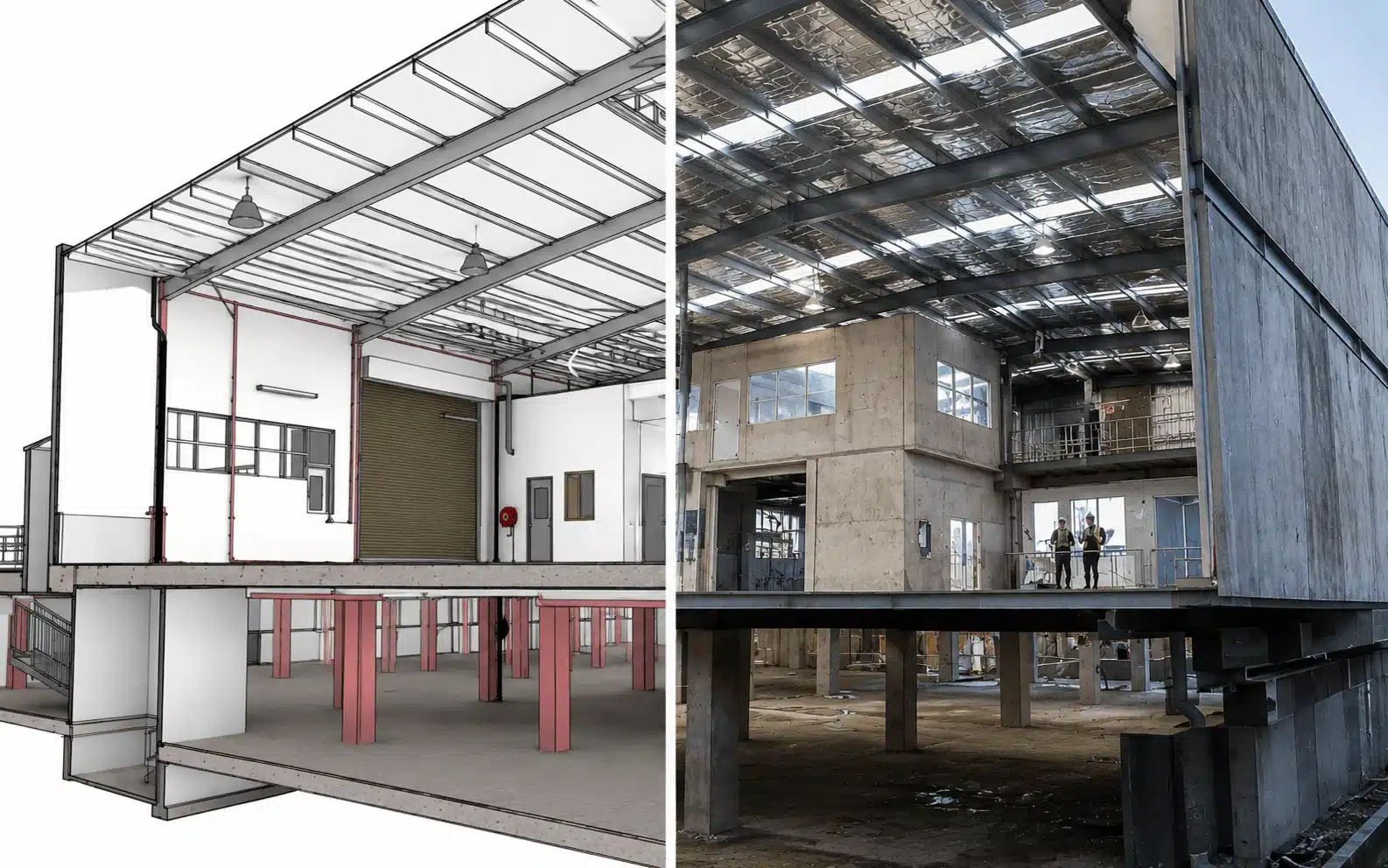
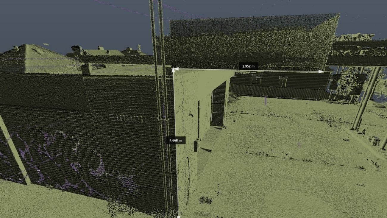
Scan-to-BIM modelling services are a professional process for converting 3D laser-scanning point cloud data into a parametric Building Information Model. Rather than working from outdated drawings or manual site measurements, your project team gains a precisely georeferenced, information-rich digital asset that reflects exactly what exists on site.
Avian delivers scan to BIM modelling services across heritage restoration, commercial fit-out, MEP retrofit, and infrastructure projects, each model built to a confirmed LOD and issued in the formats your workflow demands.
Five terms in every project brief
The raw 3D dataset of XYZ coordinates produced by a laser scanner.
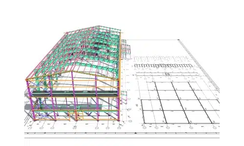
A parametric 3D model with attached object data: manufacturer, material, fire rating, room number.
A Revit family that holds geometric and informational properties together — a wall with a system, material, and fire rating.
A single georeferenced dataset built by aligning multiple individual scan stations.
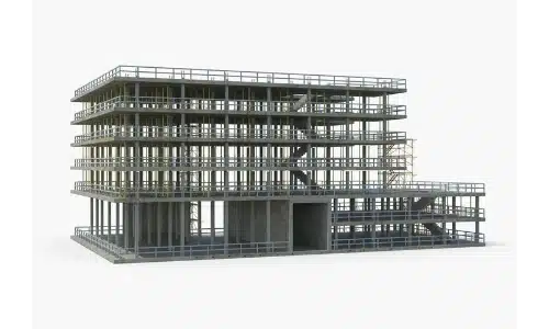
A BIM model that reflects what was actually constructed, not what was originally designed.
6 steps from site capture to federated model
Every Scan to BIM engagement follows the same rigorous six-stage workflow — from the first scanner deployed on site to the federated model handed over in your CDE.
0.5–3 days on site
Scanning
A trained surveyor captures the existing condition using a TLS, MMS, or SLAM scanner — planning station positions to account for reflective glass, polished concrete, and occupant movement.
Registering
Importing
Modelling
Verifying
Delivering
Deliverables & file formats
Your model is only as useful as the formats it’s delivered in. Every project is issued in the formats your design, coordination, and FM teams actually use. Size benchmarks are based on a 5,000 m² building at LOD 300.
| Format | Issuing body | Purpose | Typical size | Type |
|---|---|---|---|---|
| RVT | Autodesk | Design authoring | 200–600 MB | Proprietary |
| IFC | buildingSMART · ISO 16739 | Cross-platform exchange | 80–250 MB | Open |
| NWD | Autodesk | Coordination, 4D, clash detection | 50–150 MB | Proprietary |
| DWG | Autodesk | 2D documentation, tendering | 20–60 MB / sheet | Proprietary |
| RCP / E57 | Autodesk · ASTM E2807 | Point cloud reference | 2–8 GB | Mixed |
Scan to BIM LOD: 100 to 500
Level of Detail directly determines modelling time, cost, and what your team can do with the model downstream. Select the right LOD at the briefing stage — retrofitting detail costs more than specifying it correctly up front.
| LOD | Geometry | Information | Typical use case | Tolerance | Cost × |
|---|---|---|---|---|---|
| 100 | Symbolic, generic mass | Floor area, type | Concept / feasibility (rare for as-built) | ±200 mm | 0.5× |
| 200 | Approximate quantities, size, shape | Generic system data | Early-stage planning | ±50 mm | 1.0× |
| 300 | Specific geometry, project-accurate | System assignments, manufacturer-agnostic | Standard commercial fit-out | ±15 mm | 1.5–2.0× |
| 350 | LOD 300 + element interfaces | Enables coordination | MEP-coordinated retrofit | ±10 mm | 2.0–3.0× |
| 400 | Fabrication-ready geometry | Manufacturer, model, part number | Heritage detail, prefab | ±5 mm | 3.0–4.5× |
| 500 | Field-verified | Operations & maintenance data | FM / digital twin handover | ±2 mm | 4.0–6.0× |
Project types suited to Scan to BIM
Scan to BIM delivers measurable value wherever existing conditions are unknown, documentation is incomplete, or physical-to-digital accuracy is critical.
LOD 300–400 · TLS
Heritage Restoration
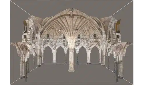
Irregular masonry, curved facades, and ornate joinery demand the millimetre accuracy only terrestrial laser scanning can reliably achieve — letting conservation architects and engineers coordinate without repeated site access.
LOD 300 · TLS / MMS
Commercial Fit-Out
Tenant fitouts frequently uncover discrepancies between existing drawings and actual structural and services layouts. Engaging Scan to BIM upfront eliminates costly RFIs and on-site redesign during construction.
LOD 350–400 · TLS
MEP Retrofit
Routing new mechanical, electrical, and plumbing through an occupied building requires precise knowledge of existing clearances. LOD 350 models capture element interfaces, enabling clash detection before a single pipe is ordered.
LOD 200–300 · MMS
Industrial Facility Upgrades
Large-footprint sites — refineries, warehouses, plants — are captured efficiently with a Mobile Mapping System, providing context for equipment replacement and process-line upgrades without extended shutdowns.
LOD 200–350 · MMS
Infrastructure
Bridges, tunnels, rail corridors, and roads benefit from MMS capture at speed. The resulting models support structural assessment, clearance analysis, and digital twin integration for asset managers.
LOD 300 · CAFM-ready
Facilities Management
A COBie-compliant, CAFM-ready model provides verified room data, equipment schedules, and maintenance access routes — eliminating guesswork that drives inefficient asset management across a building’s operational life.
Three principal capture technologies
The right scanner for each project depends on site complexity, access constraints, required accuracy, and programme.
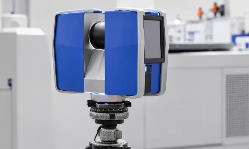
Terrestrial Laser Scanner
The benchmark for accuracy-critical work. Tripod-mounted units such as the Leica RTC360 deliver millimetre-precision point clouds in controlled environments — the default for heritage and high-LOD commercial projects.
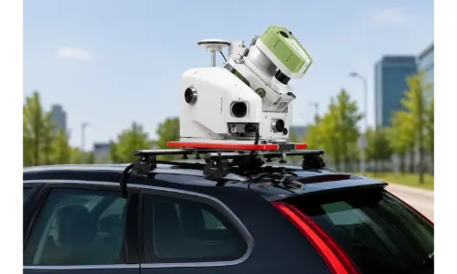
Mobile Mapping System
Mounted to a vehicle or trolley, an MMS captures large areas at walking pace. Ideal for industrial facilities, infrastructure corridors, and any site where minimising access disruption is a project requirement.
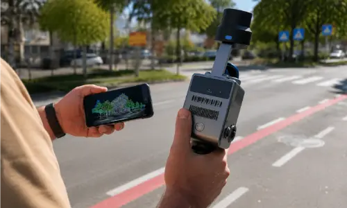
SLAM Handheld Scanner
Software stack
Leica Cyclone Register 360
Scan registration & cloud cleaning
Autodesk Revit
ClearEdge3D Verity
Autodesk Navisworks
How much does Scan to BIM cost in Australia?
| Project profile | Area | LOD | Range (AUD) |
|---|---|---|---|
| Retail fit-out, architecture only | 2,500 m² | 300 | $4.5k – $9k |
| Commercial office, light MEP | 5,000 m² | 300 | $9k – $22.5k |
| Heritage building, full detail | 8,000 m² | 350 | $30k – $55k |
| Industrial facility, full MEP | 15,000 m² | 400 | $55k – $130k |
* Indicative ranges only. Every quote depends on a site visit and a confirmed brief.
Service Areas across Melbourne, Sydney & Brisbane
Avian operates nationally, with a primary base in Melbourne and project capability across Sydney, Brisbane, and regional Australia. Whether your asset is a Victorian-era heritage building in the CBD, a commercial tower undergoing services retrofit, or a regional industrial facility, our teams mobilise with the right equipment — without compromising on model accuracy or standards compliance.
Primary base — VIC
Why hire a Scan to BIM specialist
Scan to BIM spans surveying, point cloud processing, parametric modelling, and QA. Engaging a specialist rather than an in-house CAD team or generalist surveyor removes the variables that drive budget overruns and model rework.
Survey-Grade Equipment
Calibrated TLS, MMS, and SLAM hardware maintained to manufacturer specifications — not consumer-grade scanners that introduce systematic error at capture and invalidate downstream model accuracy.
Dedicated Modelling Workflow
Our modellers work exclusively within a Scan to BIM pipeline, with established Revit family libraries, registration protocols, and LOD-specific standards a general BIM team would need months to develop.
Standards Compliance
Every project is issued under ISO 19650-2 CDE naming conventions, with IFC open formats as standard. Your model arrives audit-ready for ECI contractors, heritage authorities, and government asset managers.
QA & Deviation Reporting
A Verity-generated heat map accompanies every deliverable, demonstrating that 95% of modelled surfaces fall within the contracted tolerance. You receive proof of accuracy — not just a model.
Predictable Cost
Fixed-scope engagements are priced at brief confirmation, not invoiced by the hour. If scope changes, a variation is issued before work proceeds — no end-of-project surprises.
For One-Off Projects
Not every organisation needs a permanent Scan to BIM capability. A discrete engagement gives you enterprise-grade output and full IP ownership without software licensing, training, or scanner depreciation.
Title Re-establishment Surveys
Feature and Levels Surveys
Large Land Area Surveys
Our Scan to Bim Projects in Melbourne
Popular Melbourne Metropolitan Area and Inner Suburbs We Cover
Contact the Avian today to discuss your land surveying project
FAQs about Scan to BIM
We have answered some common questions that AEC clients have about our scan to bim services in Melbourne.
Yes, the terms are used interchangeably across the AEC industry. Both describe the process of converting a 3D laser scan point cloud into a parametric BIM model. “Scan to BIM” is the more common industry shorthand, while “point cloud to BIM” is often preferred in technical specifications where the source data type needs to be explicit.
It is particularly well-suited to them. Heritage buildings rarely have accurate as-built drawings, and their irregular geometry cannot be reliably captured with a tape measure or traditional surveying methods.
Terrestrial laser scanning captures the full three-dimensional complexity of the existing fabric in a single site visit, and the resulting LOD 300–400 Revit model gives conservation architects and structural engineers a reliable base from which to design interventions.

A competent scan to BIM services provider should be able to deliver the native Revit file (.RVT), the open IFC format for cross-platform use, Navisworks (.NWD or .NWC) for coordination and clash detection, DWG extractions for 2D documentation, and the registered point cloud in .RCP or .E57 format for ongoing reference. Avian delivers all of these as standard, with format selection confirmed at the project brief stage.
Accuracy depends on the LOD specified and the quality of the original scan registration. As a benchmark: at LOD 300, Avian’s pass standard is 95% of modelled surfaces within ±15 mm; at LOD 350, the tolerance tightens to ±10 mm; and at LOD 400 to ±5 mm. These figures are verified using ClearEdge3D Verity and delivered to the client as a deviation heat map alongside the model.