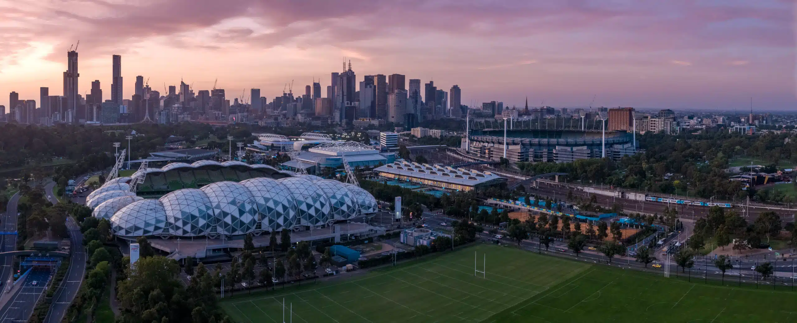
Top Uses of Drone Mapping in Melbourne’s Urban Projects
In recent years, drone technology has revolutionised the way we capture and interpret the world around us. No longer confined to aerial photography, today’s unmanned aerial vehicles (UAVs) deliver centimetre-accurate maps and 3D models that inform critical decisions in urban planning and infrastructure development.In Melbourne, where a delicate balance between
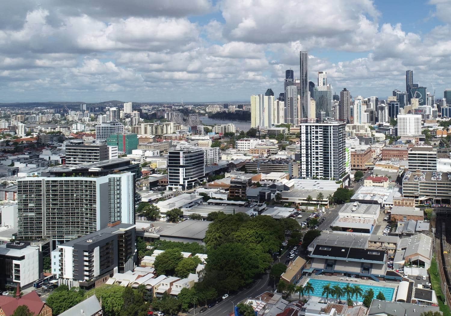
Top Tips for Hiring Aerial Drone Photography in Melbourne
In Melbourne’s fast-paced architecture, engineering and construction (AEC) sectors, aerial drone photography is a game-changer.From capturing sweeping site overviews to inspecting hard-to-reach structures, the insights gleaned from above have rapidly transformed how professionals document progress, verify data and market their work.But with so many providers vying for attention, how to