10 Pros & Cons of Unmanned Aerial Systems (UAV) for Surveying & Mapping
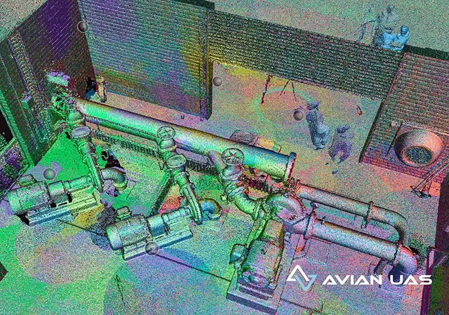
Drones have been around for a while now, used actively in the AEC (Architecture, Engineering & Construction) industry for surveying and aerial mapping, site and asset inspections, drone photography for project marketing and more. These flying cameras are accessible, convenient, and a great alternative to manual site inspections or helicopters. Table
9 Ways Drones can help Builders with Construction Surveys
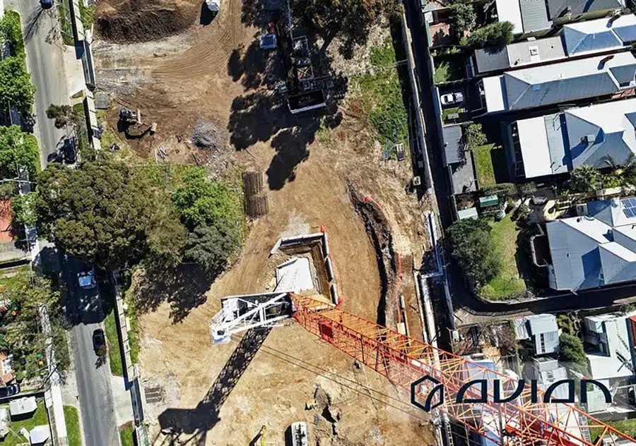
Builders and on-site engineers complete many activities before actual construction work begins. Land surveyors use set surveys to check if the on-paper design translates to the actual position on the ground.Construction Surveys Service involve transferring the design of the building to the land so that builders can construct the building in