Builders and on-site engineers complete many activities before actual construction work begins. Land surveyors use set surveys to check if the on-paper design translates to the actual position on the ground.
Construction Surveys involve transferring the design of the building to the land so that builders can construct the building in the correct position. This is done by the surveyor as key survey points are accurately established on the ground and marked to be used as a guide for the building process.
Table of Contents
Traditionally, land surveyors conducted these construction surveys using a manual process. This process can take weeks on larger construction projects. But now, with the assistance of drones, the entire process can be completed in hours!
Using drones for construction inspection is a smart alternative. This innovative technology helps in every stage of the construction process from initial land surveying and terrain mapping to tracking onsite progress and contractor quality assurance to marketing the completed project. The construction lifecycle can benefit from the support and correct inclusion of drones and geospatial technologies.
Read on to know more about how drones can help with construction projects in surveying.
1.Drones are quicker
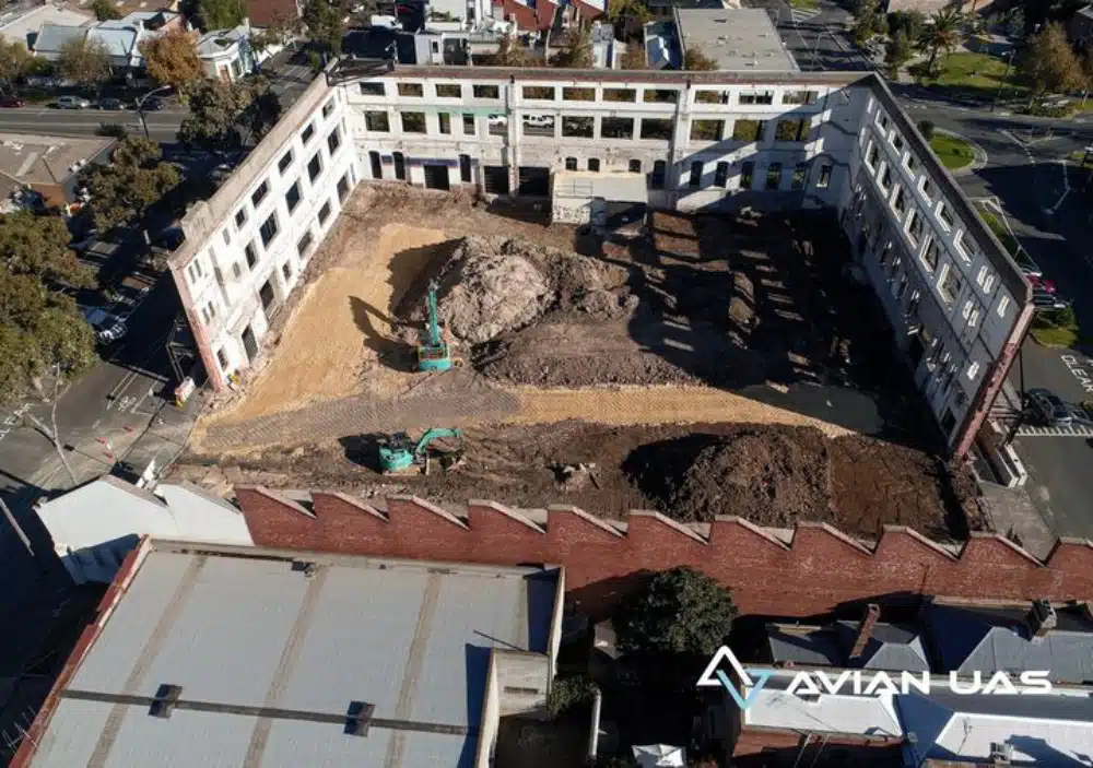
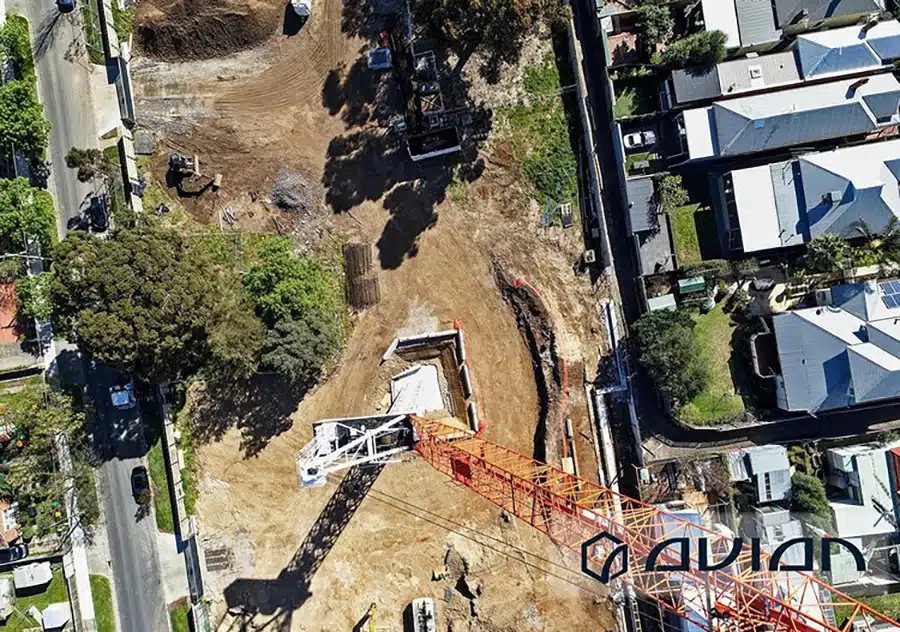
Drones can cover larger areas during construction surveys when compared to traditional methods of walking the ground, thereby saving your team’s time and effort. This time is then regained to focus on site supervision of other important on-site activities. By mapping the entire construction area project engineers can use these maps to inform and build design and planning activities, resulting in a faster project workflow. Rather than walking the ground the aerial perspective gives a holistic perspective of the site and its surroundings.
2. Drones are cost-effective
Like different tools in a tool bag, there are different types of drones, suitable for different kinds of projects. We pick the right equipment and data processing software based on your unique project’s needs and outcomes, size and usability. All too often we hear of clients receiving data from service providers that is too large to handle or simply not simple enough to use and consume, thus a wasted effort and lost opportunity results.
Avian Australia offers an innovative approach to traditional land surveying in Melbourne using drones and laser scanners to help builders with project and cost saving measures to best optimize the available project resources. Not only do our results save money, but by removing duplication of effort and the avoidance of costs, results in productivity improvements to deliver even more savings.
Also, as our work is more efficient that the alternative more traditional methods, you save on resources and hiring costs in executing construction surveys.
3. Drones are accurate.
Drones, when used by surveyors, offer survey grade accuracy (+/-20mm). This is because drones are capturing site information at low altitude and incorporate onsite survey control in the form of GCPs or ground control points to scale and orientate the resultant data.
Our team of land surveyors are trained in correct utilisation of drone technology and use surveying processes to ensure accuracy and precision of our work. We include quality reporting that demonstrates the accuracy tolerances delivered in all our surveying projects.
4. Drones are tools.
Drones are convenient, easy to use and don’t involve a lot of technical skills to operate. Hence, the misperception that due to their ease of use then it’s simple to do complex tasks.
However, like a digital camera that is also simple to use but put in the hands of a trained professional they produce amazing results. The same is true of drones and construction surveying. In the hands of a construction surveying professional with training and experience, the drone is an essential complement to existing surveying methods.
In Australia, drone pilots need to be licensed from CASA to use for commercial purposes. Every drone needs to be registered with CASA to ensure the operator and owner can be identified and traced to the specific drone.
At Avian, our drone operators have years of relevant industry experience, adequate safety training and industry certifications having worked in over a hundred construction and engineering projects across Australia.
So, tasks like construction site inspections, topographical surveys, stockpile calculations, feature surveys, etc., are handled both professionally and efficiently.
5. Drones are safe.
Drones help reduce the risk of accidents on the construction site to a considerable degree. Rather than walk the project area on unstable ground around hazards, the drone can easily maneuver over the site to capture the area safely from multiple angles. This makes it easier for surveyors to capture site details and context without putting any worker at risk.
Land surveying is a risky job at times, on unstable surfaces, around dangerous equipment and live traffic lanes and the surveyor has to always be on alert to avoid dangerous accidents. With the ability to cover more ground both faster and safer and by covering areas that are otherwise inaccessible on foot, drones help make construction surveys safer for the land surveyor.
6. Little to no human involvement
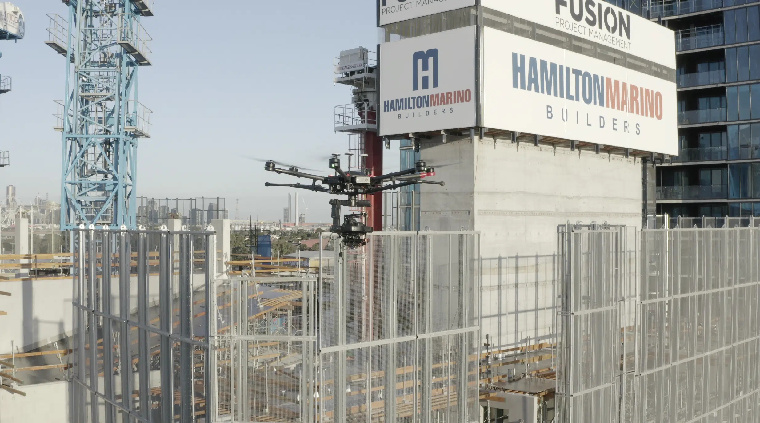
With drones, there is little to no need for human involvement. The drone pilot can control the UAV from the ground and program autonomous flight paths. The site data is captured and can even be streamed live to on-site staff via a video screen.
Usually a site context survey involves an in-depth look at the site area wherein the engineers, project managers and designers must have a clear picture of the land’s topography, elevation, surroundings, watershed etc.
Drones reduce the time and costs of hiring a workforce to get a complete site view or move obstacles on the ground and can capture more information in less time from many different angles.
7. Drones provide better insights.
Construction surveying using drones collects accurate site data to be used with building and engineering design and planning. This information is critical to be precise and helps determine if the design is suitable for the land and how it will look post-construction.
With drones, builders can achieve higher data accuracy. It also helps them identify any design errors early in the construction stage. This saves a lot of time, money, and resources down the track.
8. Drone data is accessible.
With quality data, builders and project managers get a significant advantage. The data captured and processed using construction surveying and drones is more detailed, comprehensive and easily transferred into various CAD, BIM and Civil 3D formats and devices for easy access and compatibility.
Drone data can also be processed using 3D visulisation software to create interactive 3D maps and models for presentations and site context.
These maps and models are a crucial part of any construction survey or property development project to inform and engage project stakeholders. Construction companies often use these as part of their forward proposals, working prototypes, and initial design plans for attracting investors, project supporters and to secure new contract bids.
9. Drones for site inspection and project tracking
And lastly, drones can help construction project managers keep an eye on site activities without regularly visiting or walking around the construction site.
Drone captured data helps with asset management, site audits, stockpile calculations, contractor quality control and tracking project progress.
The bottom line
Today, drones have become an indispensable part of any AEC project. Construction surveys have come a long way ahead and these innovative machines have simplified every aspect of the construction process, making it a lot easier for construction to conduct land surveys, project updates and to get data-driven insights and make informed project decisions.
You can easily reach out to our team of surveying experts at Avian for all your construction surveying needs.
