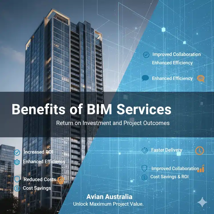
Benefits of BIM Services: Return of Investment and Project Outcomes
Comprehensive BIM services deliver measurable improvements across design accuracy, construction efficiency, and lifecycle costs. Projects adopting BIM workflows typically achieve a return on investment (ROI) of 200-500%, depending on project complexity and stakeholder engagement. Avian Australia’s experience across 200+ projects demonstrates consistent performance gains when BIM service advantages replace traditional 2D
BIM Software and Deliverable Formats: Revit, Navisworks, and IFC Standards
In the modern architecture, engineering, and construction (AEC) industry, accurate, interoperable, and easily shareable digital models are essential. BIM modeling software has become the backbone of project planning, design, and coordination. At Avian Australia, we specialise in providing BIM software and deliverable formats tailored to your workflow, ensuring seamless collaboration across
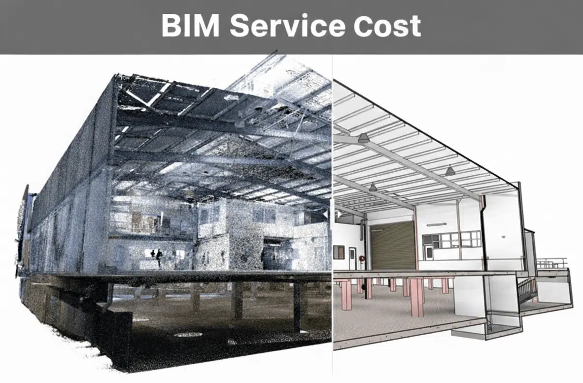
How Much Do BIM Services Cost? Pricing Models and Factors
Understanding BIM service costs can feel complex at first. Pricing varies significantly depending on project size, coordination requirements, level of detail, timeline, and whether existing site data is available. Unlike traditional drafting, BIM services are data-rich, multi-disciplinary, and often integrated with reality capture which means pricing is driven by scope
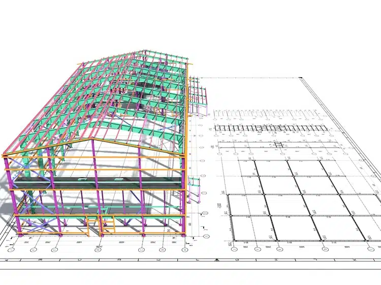
BIM vs Traditional CAD: Comprehensive Comparison
The debate around BIM vs CAD continues across architecture, engineering, and construction projects. While both technologies are used to document buildings and infrastructure, they operate on fundamentally different principles and deliver very different project outcomes.Traditional CAD focuses on drawing production. BIM focuses on data, coordination, and lifecycle intelligence. Understanding the
How to Choose a BIM Service Provider: 10 Essential Criteria
Knowing how to choose a BIM service provider is critical to the success of any design, construction, or asset management project. The right provider will improve coordination, reduce rework, and deliver accurate, future-ready digital assets. The wrong one can introduce delays, data gaps, and costly downstream issues.If you’re evaluating vendors
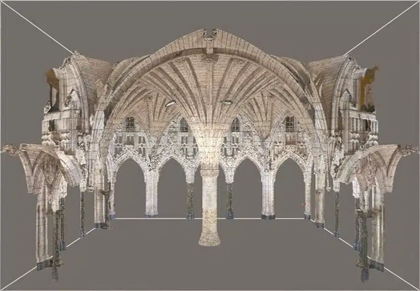
Laser Scanning for Heritage Preservation: Accurate Documentation of Historic Sites
Discover how Avian uses point clouds to streamline project timelines, helping teams achieve smoother workflows and fewer costly delays.

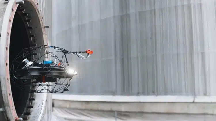
3D Laser Scanning for Mining: Accurate, Efficient, and Safer Surveys
Discover how Avian uses point clouds to streamline project timelines, helping teams achieve smoother workflows and fewer costly delays.

How 3D Laser Scanning Streamlines Airport Terminal Renovation Projects
Discover the top 10 uses for point cloud surveys, from heritage preservation to infrastructure projects, and explore the key benefits of this 3D technology.
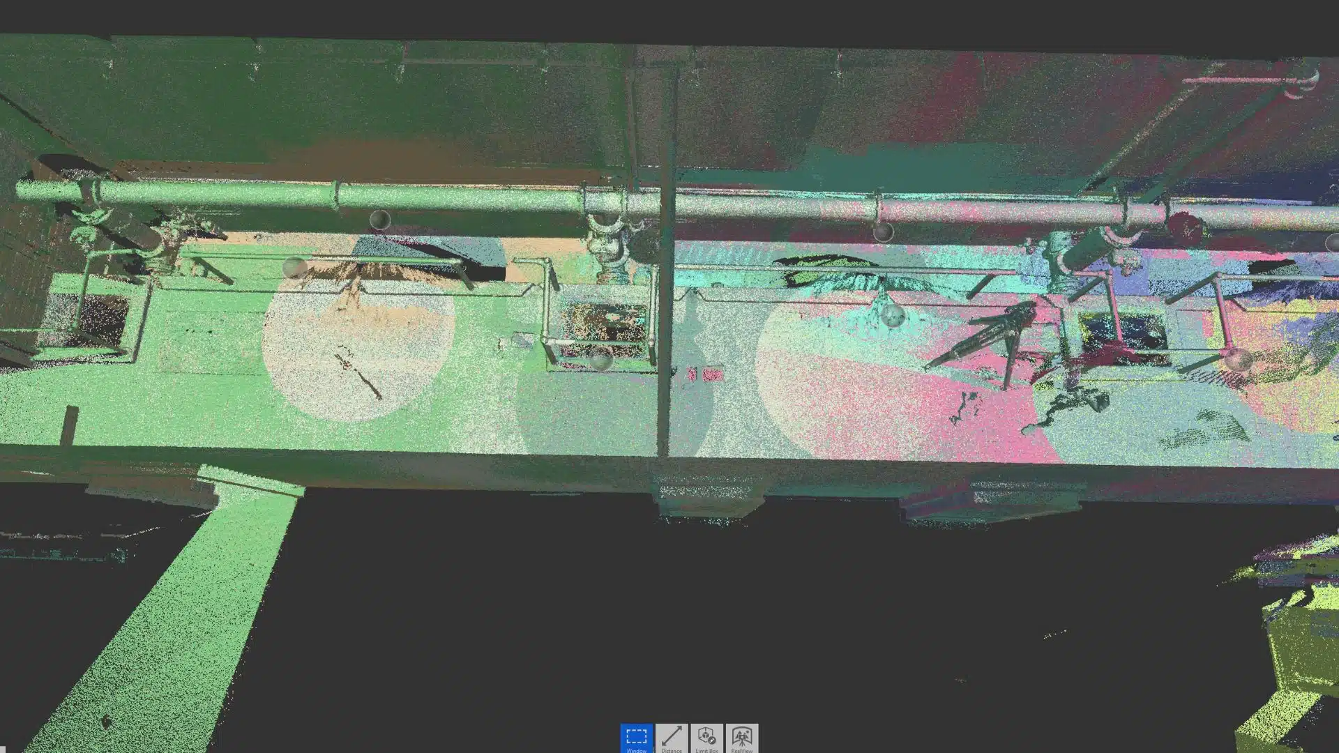
Top 10 Uses for Point Cloud Surveys
Discover the top 10 uses for point cloud surveys, from heritage preservation to infrastructure projects, and explore the key benefits of this 3D technology.
How Do Architects Use Point Clouds to Streamline Project Timelines?
Discover how Avian uses point clouds to streamline project timelines, helping teams achieve smoother workflows and fewer costly delays.