Elevating Architectural Design: Avian Australia’s Aerial Photography Success Story Introduction In this case study, we will explore how Avian Australia, a leading surveying, imaging, and reality-capture company, addressed the unique needs of commercial architects in obtaining high-resolution, precision aerial photography for their projects. Avian Australia’s innovative approach to aerial photography […]
Read MoreCategory: Aerial Photography
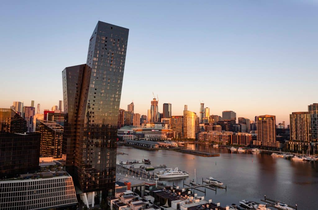
Aerial Photography – Level Views
November 28th, 2022 by Chris Patchell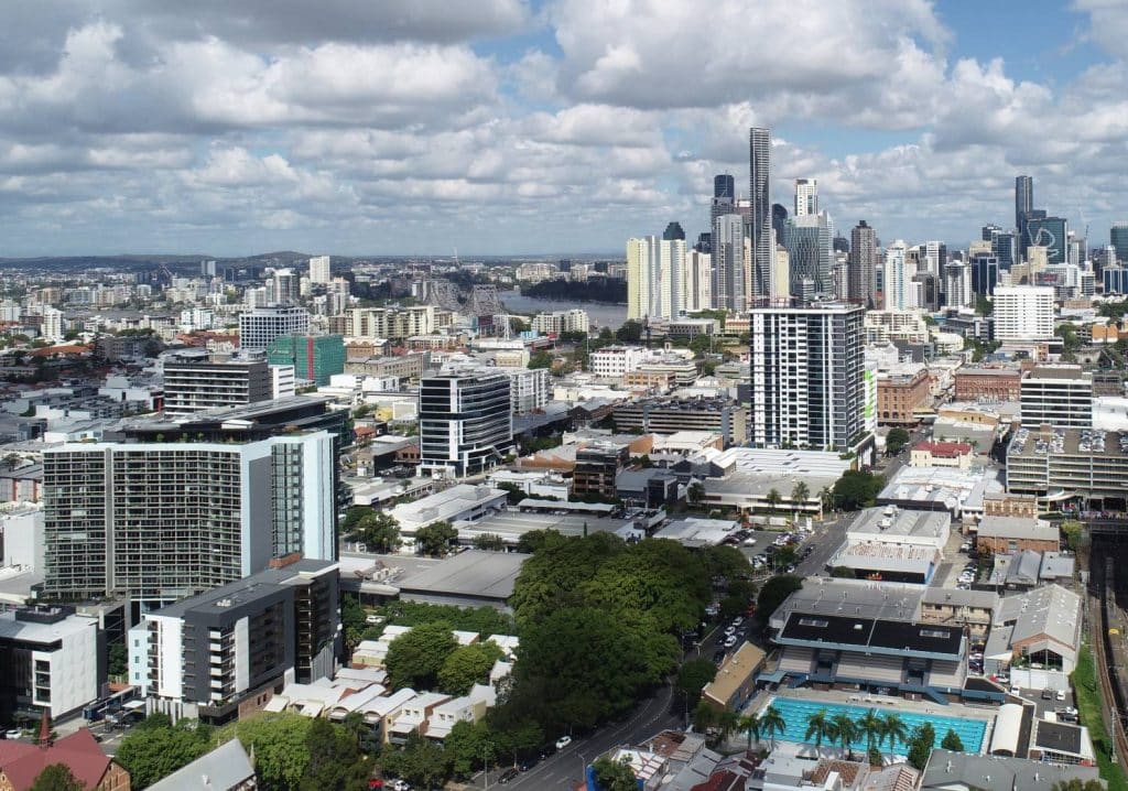
Aerial Photography – Renders
November 21st, 2022 by Chris PatchellElevating Aerial Photography for Architectural Renders Introduction In this case study, we will explore how Avian Australia, a leading multi-disciplinary surveying, imaging, and reality-capture company, partnered with a client in the Commercial Architecture sector to provide high-quality aerial photography for architectural renders. Avian Australia’s innovative approach to aerial photography has […]
Read More