logo dark logo light logo
  • Solutions by Industry
    • For Architecture
    • For Engineering
    • For Construction
  • Our Services
    • 3D Laser Scanning
      • As Built survey
      • Architects Site Measure Up
      • Engineering Drawings
    • CAD Drafting & 3D Models
      • Construction Site Design
      • Architectural Plans and Drawings
      • Architectural Renders and Visualisations
      • Engineering Drawings
    • Drone Services
      • Drone Photography
    • Drone Survey & Mapping
      • Large Land Survey
      • Feature Surveys
      • Corridor Mapping
      • Point Clouds & 3D Models
    • Asset & Building Inspections
      • Facade Inspections
      • Roof Inspection Melbourne
      • Confined Space Inspections
    • Land Surveys
  • Projects
  • Pricing
    • Drone Inspection
    • Land Surveying
    • Drone Photography
    • 3D Laser Scanning
    • Aerial Photography
    • Video Production
  • Resources
    • Pricing Guides
    • Avian Blog
    • About Avian
    • Frequently Asked Questions
    • Info Carousels
  • Locations
    • Melbourne
    • Sydney
    • Brisbane

Contact Us

Mobile Logo
  • Home
  • For Architecture
  • For Engineering
  • For Construction
  • Services
    • 3D Laser Scanning
    • CAD Drafting & 3D Models
    • Drone Survey & Mapping
    • Asset & Building Inspections
    • Land Surveys
  • Projects
  • Pricing
    • 3D Laser Scanning
    • Land Surveying
    • Drone Inspection
    • Aerial Photography
    • Video Production
  • Resources
    • Pricing Guides
    • Avian Blog
    • About Us
    • FAQs
  • Locations
    • Melbourne
    • Sydney
    • Brisbane
  • Contact Us
tree top view taken using a drone during a tree safety audit assessment

Visual Tree Assessment Techniques for Comprehensive Tree Safety Audits

April 30, 2024

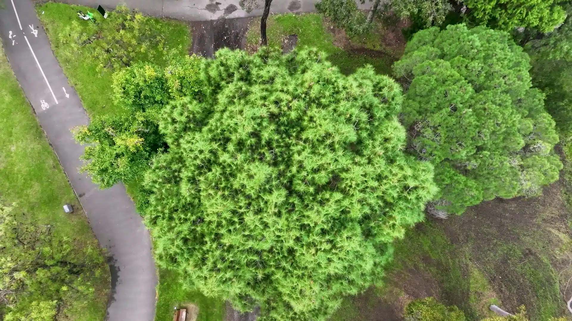
Trees play an important part in our symbiotic balance with nature, and it is all the more critical now as to how we nurture breathing pockets in our urban landscape. However, this comes with a list of challenges where trees can be hazardous when they break or fall with or

Read More
Your all-in-one partner in surveying, imaging, and reality capture solutions with hundreds of projects across Melbourne, Sydney, and Brisbane.
1300 081 115 | info@avian.net.au

152 Elizabeth St, Melbourne VIC 3000

465 Victoria Ave, Chatswood NSW 2072

1554, 17 Gould Rd, Herston QLD 4006

  • 3D Laser Scanning and Surveying Services
  • 3D Scanning Services Melbourne
  • 3D Scanning Services Sydney
  • 3D Scanning Services Brisbane
  • Drone Services Melbourne
  • Drone Photography Melbourne
  • Drone Surveying Services
  • Buidling Inspection Services
  • Drafting and Design Service

Quick Links

  • Case Study
  • News
  • Contact Us
  • Refer Us
  • Chat With Us
Copyright © 2022 Avian Australia
Privacy Policy