Lidar drone surveying has been around for a while, gaining a lot of prominence in the AEC industry.
Lidar drone surveys are also known as aerial/airborne laser scanning or lidar mapping and refers to the use of drones to mount Lidar sensors for terrain mapping and modelling.
Invented sometime in the early 1960’s shortly after the invention of laser, Lidar (Light detection and ranging) was first used on aircraft to create high quality topographical maps of roadways, bridges, streams, farms etc.
Lidar basically uses light energy emitted from lasers to scan and measure the earth’s surface and is a faster alternative to conventional surveying methods over large land areas.
Using drones equipped with Lidar sensors scan the landscape with greater clarity, capturing rich elevation data which is then classified and converted to high resolution 3D maps and models.
Lidar can be used in terrestrial, airborne or mobile (trolley, vehicle) mounted applications to scan the environment, both natural and as-built surveys.
I have tried to cover all the technical and practical aspects of Lidar drone surveying that you might find interesting or useful.
Table of Contents
Our Project Portfolio
A few of our past projects from our years of experience of working with 100+ clients in AEC Industry carrying out 3D Laser Scanning, modelling, volumetric calculations, aerial inspections, mapping & contour surveys, aerial land surveying, photomontage and much more.
Lidar sensors use millions of laser pulses to calculate distances between points. These measurements build a 3-Dimensional picture of the earth’s surface in digital form.
Using standard cameras on drones only allows you to see visible surface details and the natural ground surface is obstructed by trees, vegetation, debris and other obstructions that do not allow accurate measurement of the ground.
Using a Lidar equipped drone can penetrate through tree canopies, atmospheric barriers, vegetation, and minor obstructions to capture clear, high-resolution laser measurements.
The millions of points measured by the lidar sensor, is converted to a point cloud, which is then used to generate detailed topography, hydrology and vegetation maps and 3D object models etc.
How Do Lidar Drones Work?
One of the biggest advantages of using Lidar equipped drones is that it yields the highest fidelity data. The drones fly low altitudes at slower speeds and produce point cloud densities that are magnitudes greater than traditional airborne laser scanning at higher altitudes using aircraft.
The higher the density, the higher the image resolution.
Lidar sensors can measure details like vegetation density, the ground topography, soil type etc.
Lidar sensors are also used to measure man-made obstacles and infrastructure including bridges, road corridors, towers, wind turbines etc.
Pricing packages to suit your business
Plans with inclusions for Drone Inspection, Land Surveying, 3D Laser Scanning, Drone Photography & Videography. Get custom quote for your specific requirement.
Photogrammetry is a technique that uses multiple overlapping images of an area of interest, region or an object. These images are then processed to reproduce the area in 2D or 3D format and can be used to obtain reliable information about physical objects and the environment.
The limitations of vegetation
However, photogrammetry has limitations when it comes to natural ground surface and vegetation like grass, trees and shrubs. Photogrammetry relies on photographs to calculate the distance between the camera and the object and cannot see through trees or vegetation. This is where Lidar drone surveying is vastly more advantageous.
Lidar drone surveys are less restricted by trees and vegetation as they use lasers to measure distance rather than visible light and map the natural ground surface. Also using Lidar we can filter out reflections from large uniform surfaces like water or dense forest to create digital terrain models (DTM) that show the natural surfaces such as rivers, paths, etc which maybe obstructed by trees or vegetation.
However, when it comes to data accuracy, both Lidar drone surveying and photogrammetry can have similar results. To know more about our 3D Photogrammetry Services in Melbourne please feel free to give us a call or visit the above link for details.
When should I opt for Lidar drone surveying?
The reason why lidar drone surveying is so popular is the impressive speed and accuracy it offers over large land areas.
Lidar drone surveying is best suited for large construction or infrastructure projects over larger land areas with vegetation or trees to obtain accurate topographical details. This type of surveying is also suited to complex taller structures (bridges, buildings, towers and powerlines).
However, Lidar surveying captures large amounts of data due to the larger scanned areas and this data can be difficult to process, share and manage.
Have a custom requirement ?
Get a quick estimate for your specific project requirements with listed inclusions/exclusions.
Lidar drone surveying and photogrammetry produce similar results in terms of accuracy, but your project may not require high precision and high accuracy.
In both photogrammetry and Lidar drone surveying, external factors like weather conditions, wind speed, flight altitude, camera quality, methodology etc. play a bigger role.
Photogrammetry is more cost effective and provides a range of useful outputs and a seamless image of the mapped area.
Lidar drone surveying, on the other hand, offers better clarity of the terrain and natural surface.
So, your choice of land surveying method completely depends on the unique project needs.
Here are some questions you need to consider before choosing the right drone surveying technique:
What is the scope of the project?
What key information does the project need?
How will the data be used in the project?
How would the data impact decisions in the project?
Let me provide an example of when to use Lidar drone mapping or drone surveying using photogrammetry.
Let’s say you have a 10ha property that needs to be surveyed for site features and contours. There are trees covering around 40% of the property but the rest is exposed around the onsite buildings.
Now let’s review some options:
A land surveyor will walk the property taking numerous measurements to then draw up the resultant surveying plan. This can take a minimum 1 day onsite and days to draft up the plans.
A drone survey using photogrammetry will take less time onsite and will provide the base information to draw up the maps and plans much sooner. However, this will not give you an accurate indication of the contours of the natural surface (ground level) due to trees and vegetation.
A Lidar survey will capture the exact ground level across the entire property, despite the presence of trees and small vegetation like grass etc. This will provide accurate topographical information for maps to view contours, slope, aspect and drainage.
Of course, costs need to be considered in all three options but more importantly, ask the question. What information is required at this stage of the project?
All About Avian
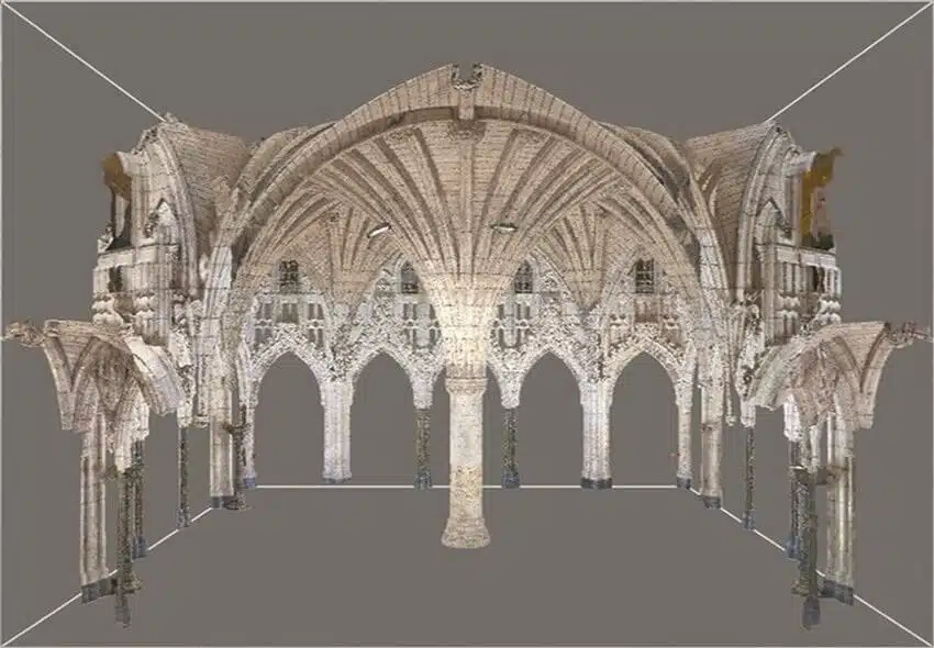
Our surveyors use various laser scanning methods to accurately capture site measurements from both from the air and on ground (known as terrestrial laser scanning). We have a team of surveying and modelling experts who will accurately capture and recreate the real world in digital 3D space.
Our laser scanning services are growing among AEC agencies that need accurate digital reproductions of construction sites, assets, terrain and buildings for engineering, architecture and construction design, maintenance and modification.
What’s more, we also help AEC companies build 3D asset portfolios and gather important insights from drone data to make crucial business decisions ahead of their competition.
Book a consultation today, and under the expertise and guidance of our in-house surveyors, you know your project is in safe hands.
Have a question for us ?
Our team is eagerly waiting to know about your queries. Please call us at the number below during business hours and our team will help you out.