In the modern architecture, engineering, and construction (AEC) industry, accurate, interoperable, and easily shareable digital models are essential. BIM modeling software has become the backbone of project planning, design, and coordination.
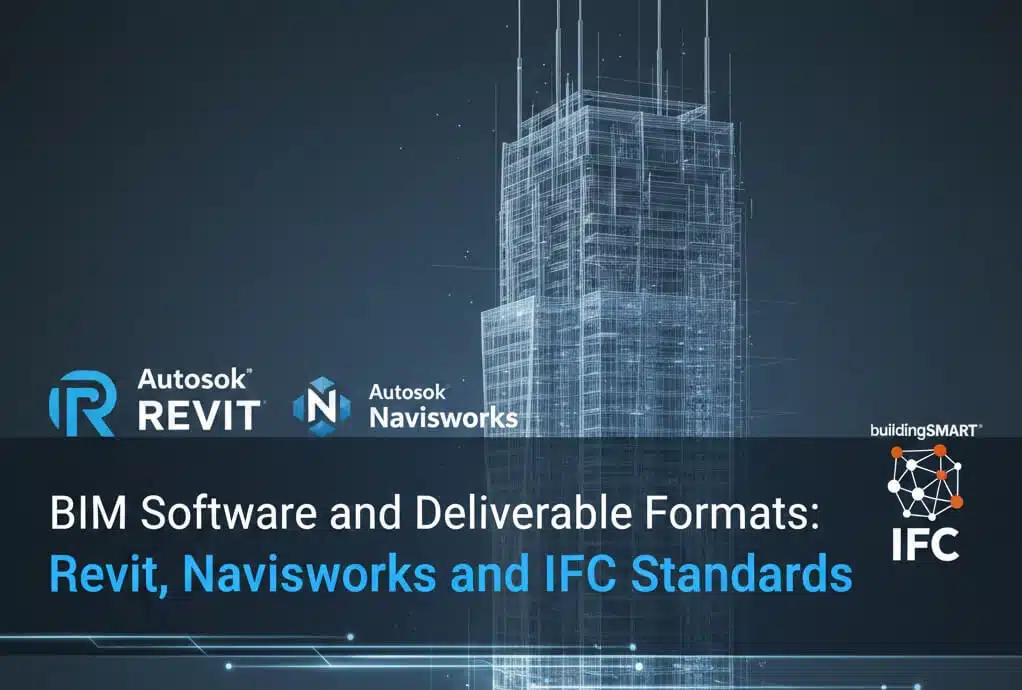
At Avian Australia, we specialise in providing BIM software and deliverable formats tailored to your workflow, ensuring seamless collaboration across teams and platforms. From initial 3D laser scanning to delivering detailed BIM-ready models, our solutions enable precision, efficiency, and clarity throughout the project lifecycle.
Primary BIM Modeling Software
Autodesk Revit 2024
Disciplines: Architecture, Structure, MEP (Mechanical, Electrical, Plumbing)
Team Expertise: 10+ years in advanced Revit capabilities, including:
- Custom family creation and parameter customisation
- Complex geometry modelling (curtain walls, adaptive components, conceptual massing)
- Workset management for large multi-user projects (50,000+ elements)
- Dynamo scripting for automated modelling workflows
- Phasing and design options for renovation documentation
File Formats: .rvt (project files), .rfa (family files), .rte (project templates)
Autodesk Civil 3D 2024
Applications: Infrastructure and civil engineering projects
Capabilities:
- Corridor modelling for roads, railways, and linear infrastructure
- Site grading and earthwork quantity calculations
- Utility network design (water, sewer, stormwater, power, communications)
- Alignment and profile development with vertical/horizontal curve design
- Surface modelling from point cloud data
File Formats: .dwg (native), .xml (LandXML for data exchange)
Bentley MicroStation

Use Cases: Client-specific workflows and infrastructure projects
Capabilities:
- Native DGN format compatibility for Bentley workflows
- Infrastructure project specialisation (bridges, utilities, transportation)
- Parametric modelling with Generative Components
- Integration with Bentley OpenBuildings and OpenRoads
File Formats: .dgn (native), .dwg (export)
Coordination and Analysis Tools
Autodesk Navisworks Manage 2024
Our primary coordination platform allows:
- Multi-format model aggregation (50+ file types, including Revit, AutoCAD, IFC, DWG, DGN, NWD)
- Automated clash detection with configurable tolerances
- 4D construction sequencing linked to project schedules (Primavera, MS Project integration)
- 5D cost integration for quantity-based budget tracking
- Markup and review tools for clear coordination
- Clash matrix database tracking 500-2,000+ conflicts through resolution
Solibri Model Checker
Provides advanced quality control:
- Building code compliance verification (IBC, NFPA, accessibility standards)
- Model quality checking (geometry errors, duplicate elements, missing parameters)
- Custom rule set development for project-specific requirements
- Detailed clash analysis beyond basic interference detection
Point Cloud Processing Software
Autodesk ReCap Pro 2024

- Multi-scanner project registration with automated target recognition
- Point cloud optimisation and decimation (500 GB reduced to 50 GB while maintaining accuracy)
- Direct Revit import with linked point cloud functionality
- Reality mesh generation for visualisation and analysis
Leica Cyclone REGISTER 360
- Multi-project registration with bundle adjustment optimisation
- Comprehensive error analysis and accuracy reporting (<3mm registration tolerance)
- Scan database management for large datasets (100-500 scan positions)
- Cloud-to-cloud alignment for monitoring and change detection