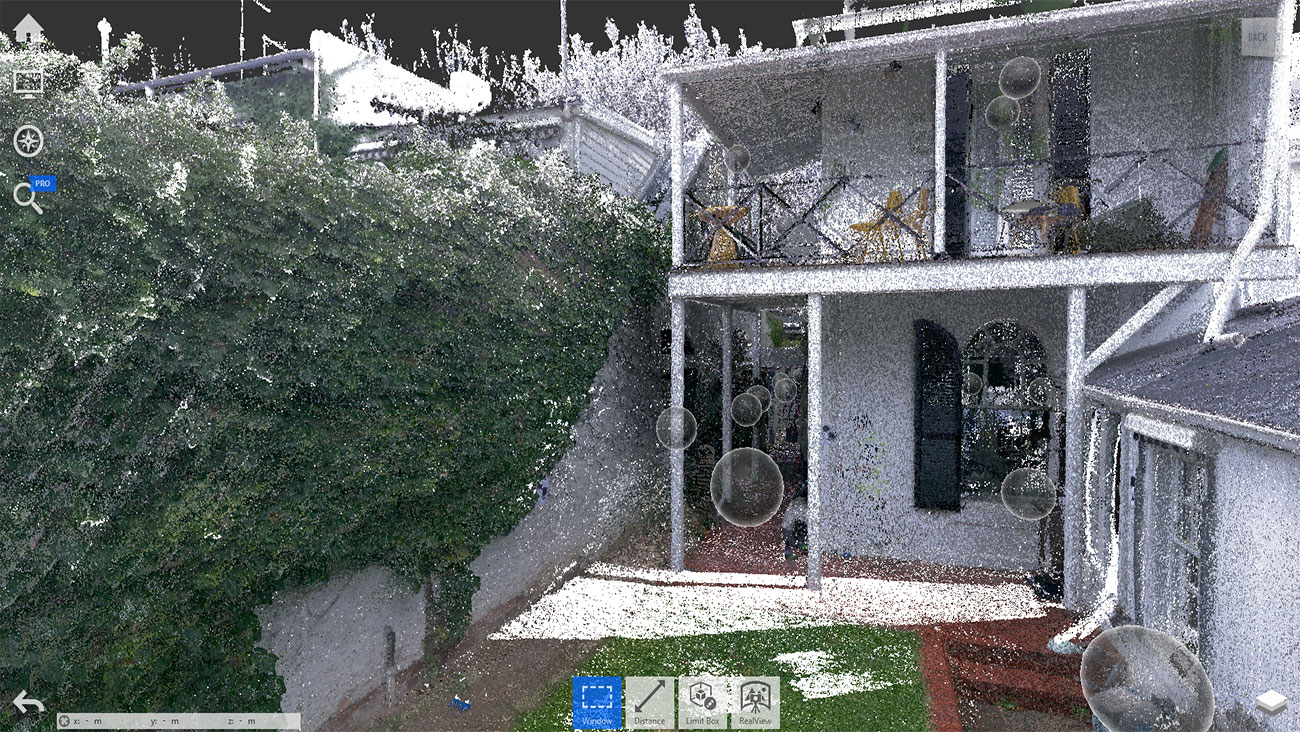
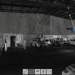
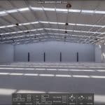
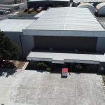
Laser Scanning and Modelling - An Avian Case Study

Avian Australia partners with Architecture Studios to deliver 3D Revit models and Drawings.

Architects often manually measure a project to get an idea of the space and dimensions they are going to be working on. This can result in multiple site visits, transcription errors, doubts and miscalculations. Avian Australia takes the guesswork and labor from manually measuring a building by using laser scanning technology and 3D modelling processes to deliver accurate 3D models, survey plans and drawings.

Avian Australia, a digital imaging, surveying and visualization company who partners with the AEC (Architecture, Engineering and Construction) industry to deliver quality assured, digital data and visualizations on real-world environments including assets, sites, terrain and buildings. 

For the Architectural industry we deliver laser scanning, modelling, surveying and drafting services across Australia. In this example we will review the benefits of using Avian Australia for laser scanning and modelling on a residential Architectural project.

The Project

The house was being renovated and most of the home was to be demolished and re-designed. The house shares a boundary wall with the neighbouring property that must remain untouched. Our scope was to scan the entire property, both interior and exterior to provide a point cloud and 3D Revit model for the client.

Avian Australia used a portable Leica BLK360 laser scanner and Leica Geosystems TS-16 total station for survey control.

The Benefits

  • The entire property was laser scanned and site context photographs also captured to give the client a virtual tour of the property.
  • The adjoining wall was scanned and modelled giving visibility to the structure in the 3D model to enable the design process to commence earlier with confidence. 
  • Additional plans and drawings can be drafted from the scanned point cloud so no revisits are required.

Related Projects