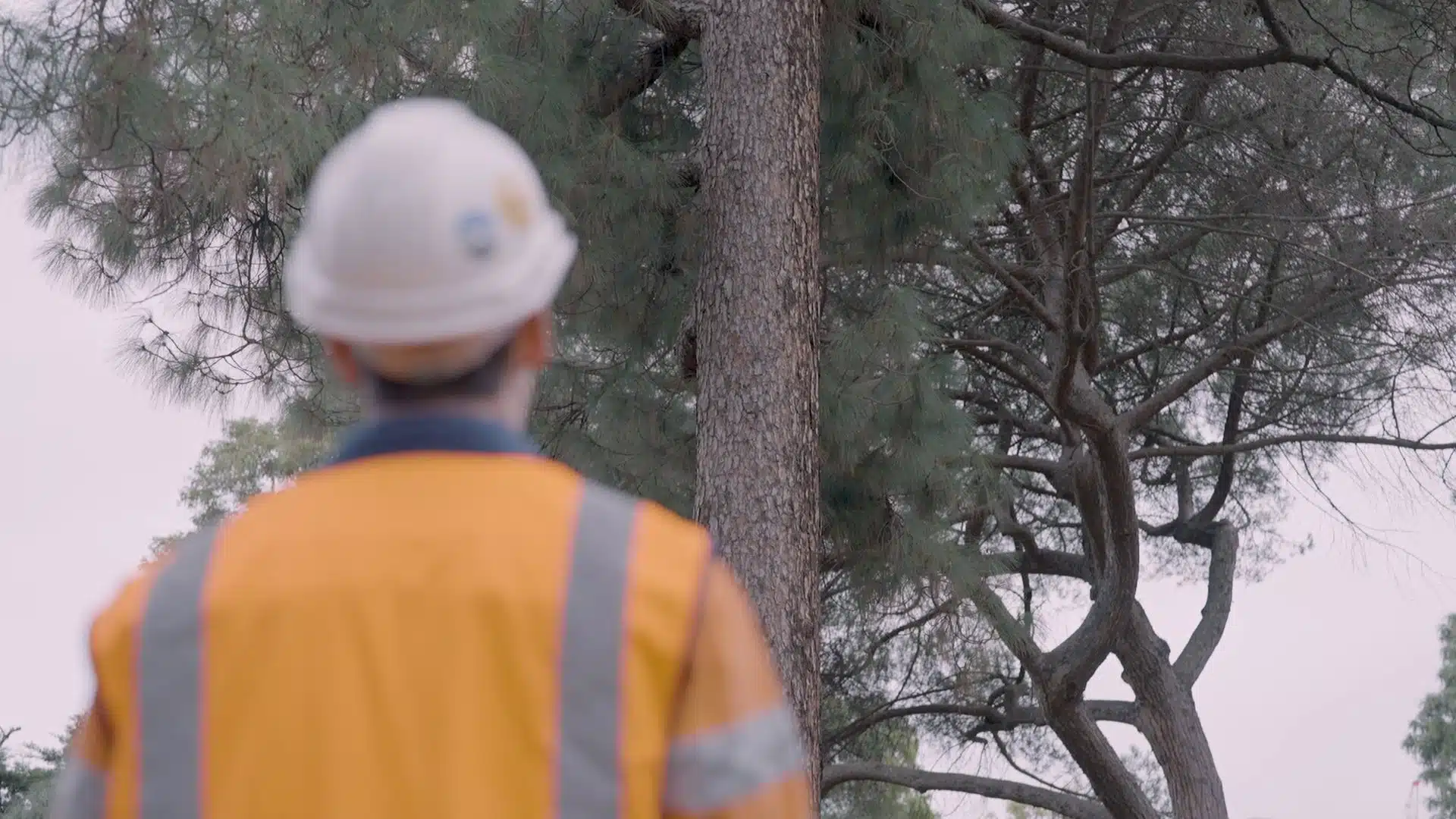
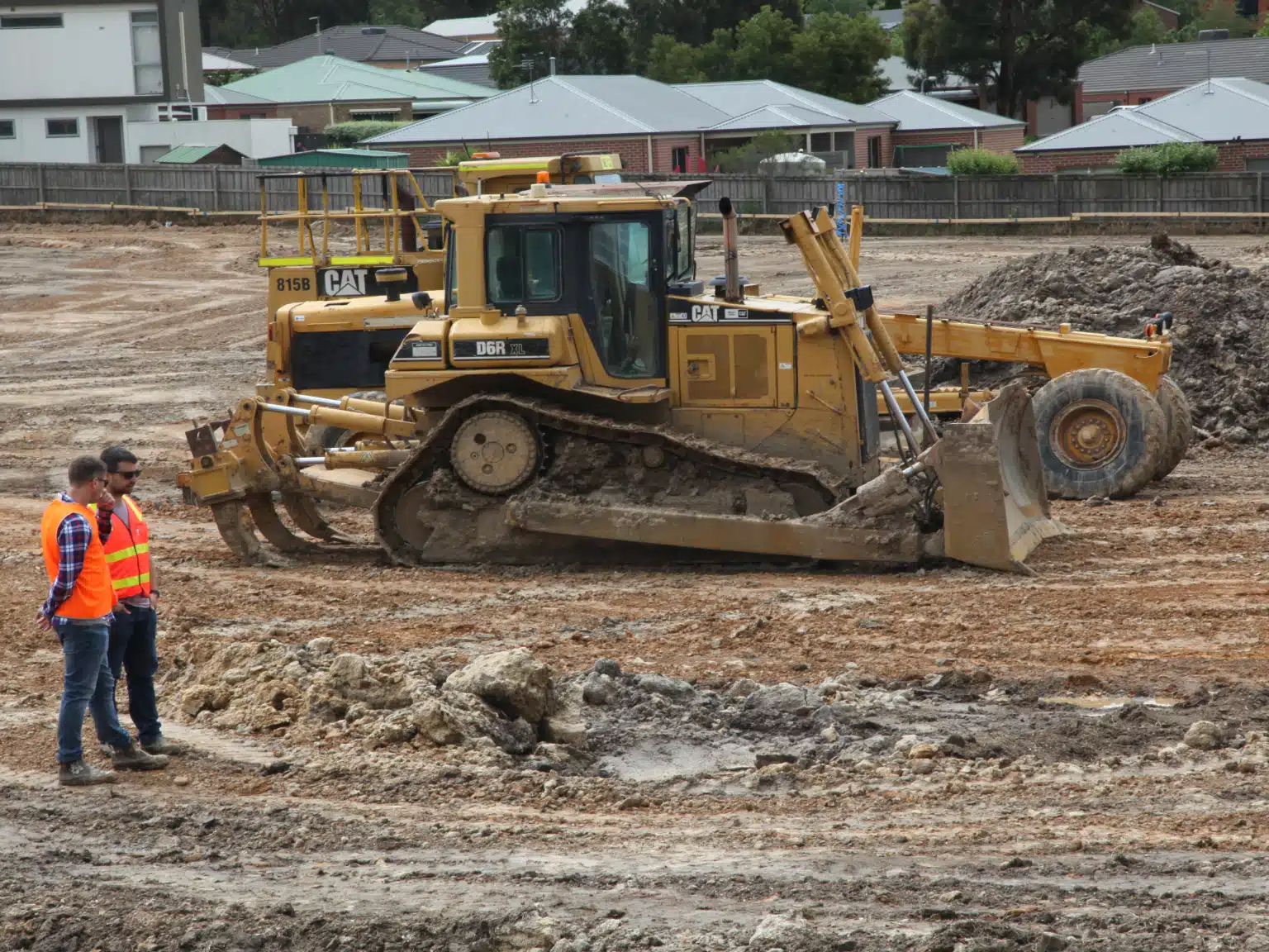
3D Laser Scanning vs. Traditional Surveying for AEC Projects
Accurate site data is crucial to every phase of an Architecture, Engineering and Construction (AEC) project. In Australia, where expansive urban growth in cities like Sydney, Melbourne and Brisbane coexists with heritage preservation and regional infrastructure, precise surveying can make or break project success. Today, a growing number of Australian firms
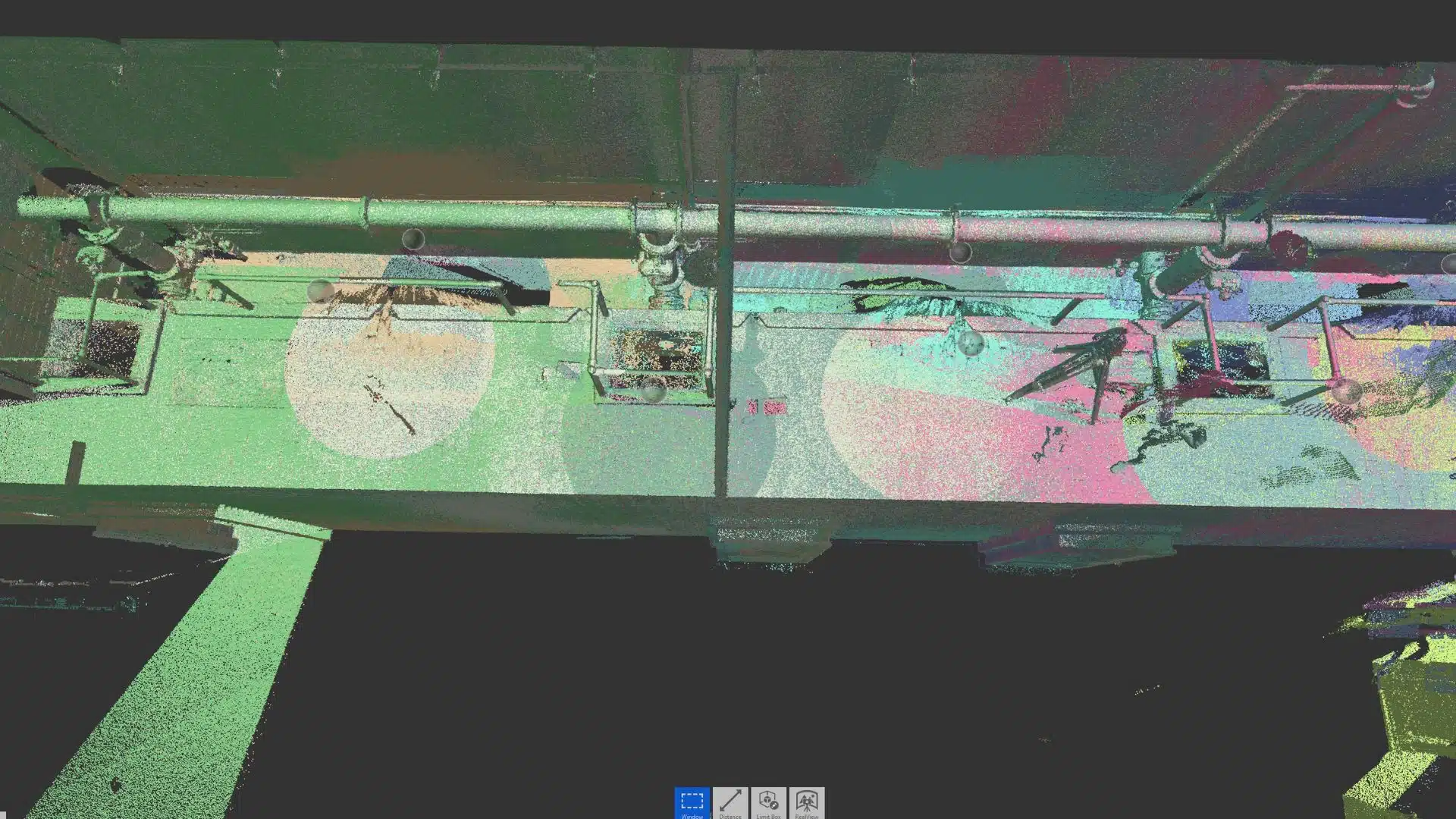
Key Terminologies in 3D Laser Scanning for AEC
Whether you’re an architect sketching a new high-rise in the Melbourne CBD, an engineer working on a Brisbane tunnel, or a contractor overseeing a heritage façade restoration in Sydney, understanding 3D laser scanning terminology is essential. The AEC (Architecture, Engineering, Construction) industry relies increasingly on digital data capture, turning the real-world
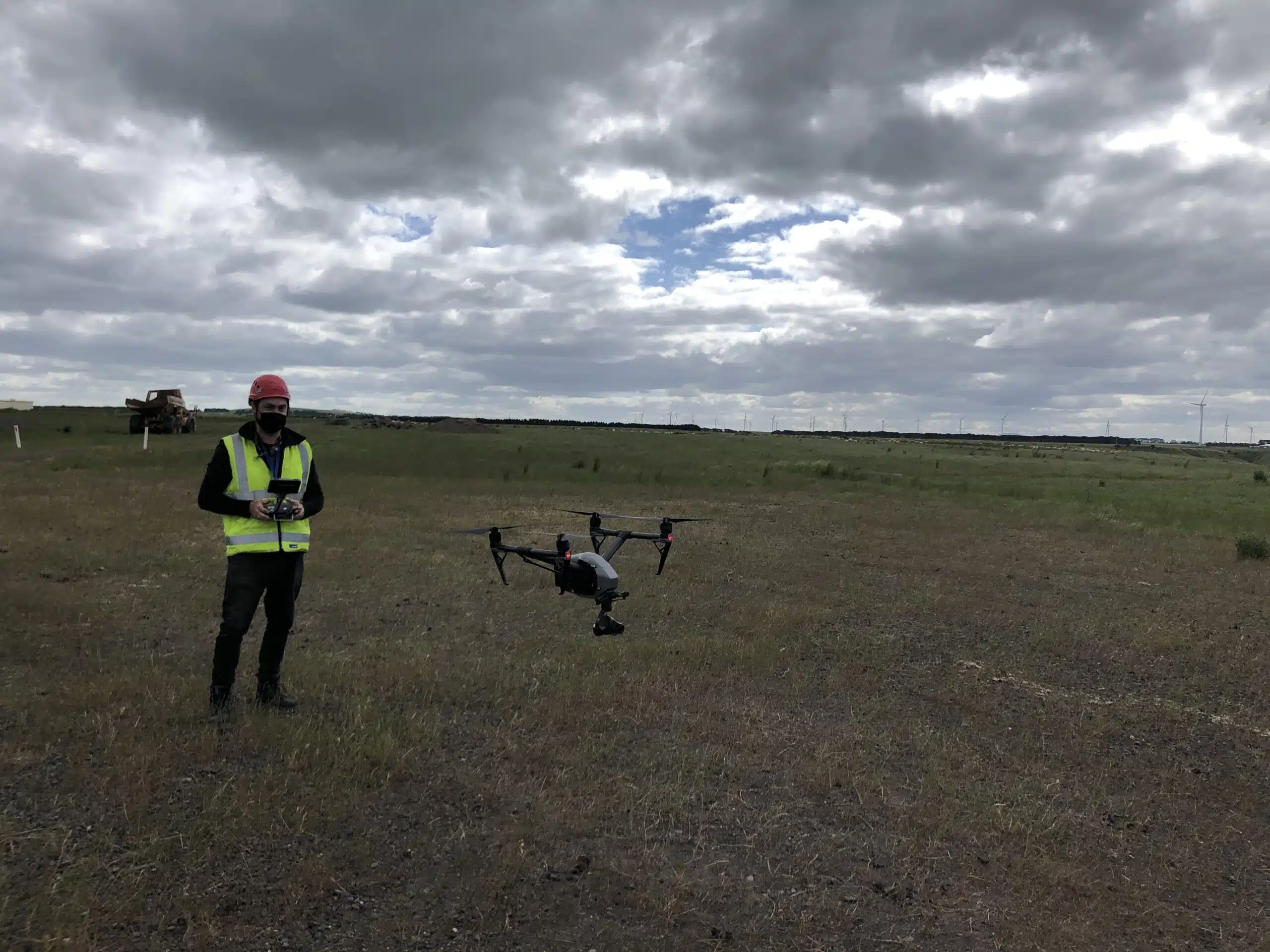
Drone Data Protection Measures In Australia 2023
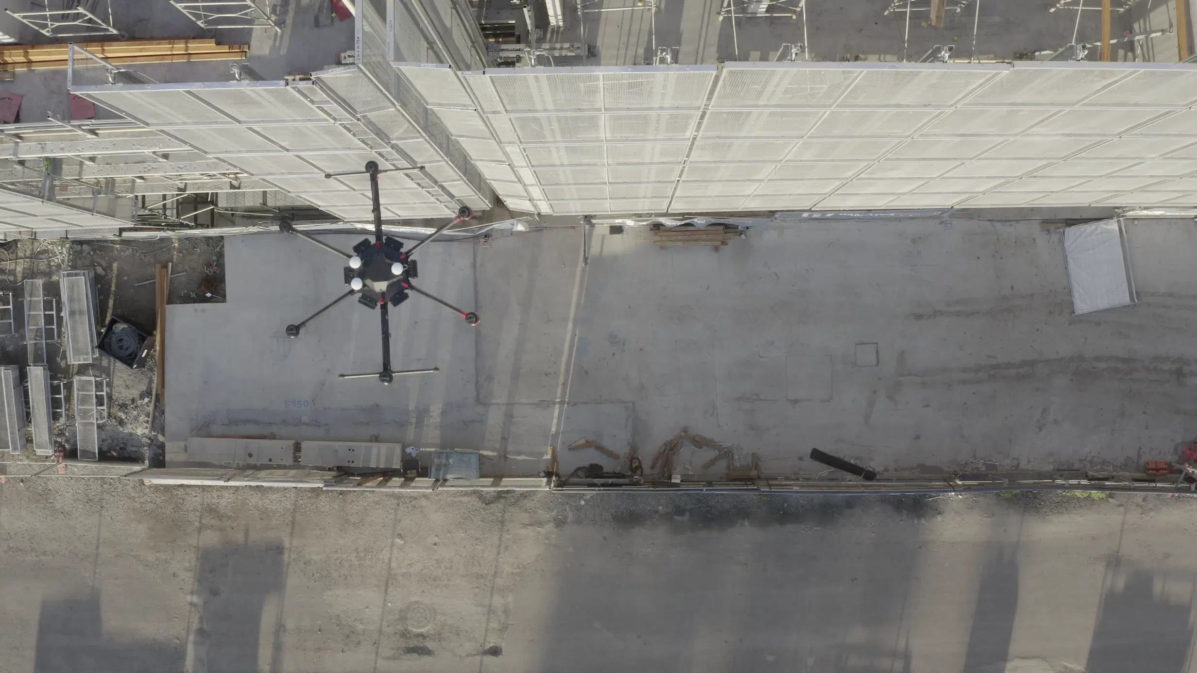
Drones are now seen pretty much everywhere - from real estate to construction sites and even wildlife management. Australia is slowly but surely warming up to the idea of these amazing machines. I am pleased to see more and more AEC companies switching to drones for construction inspections. If you are looking
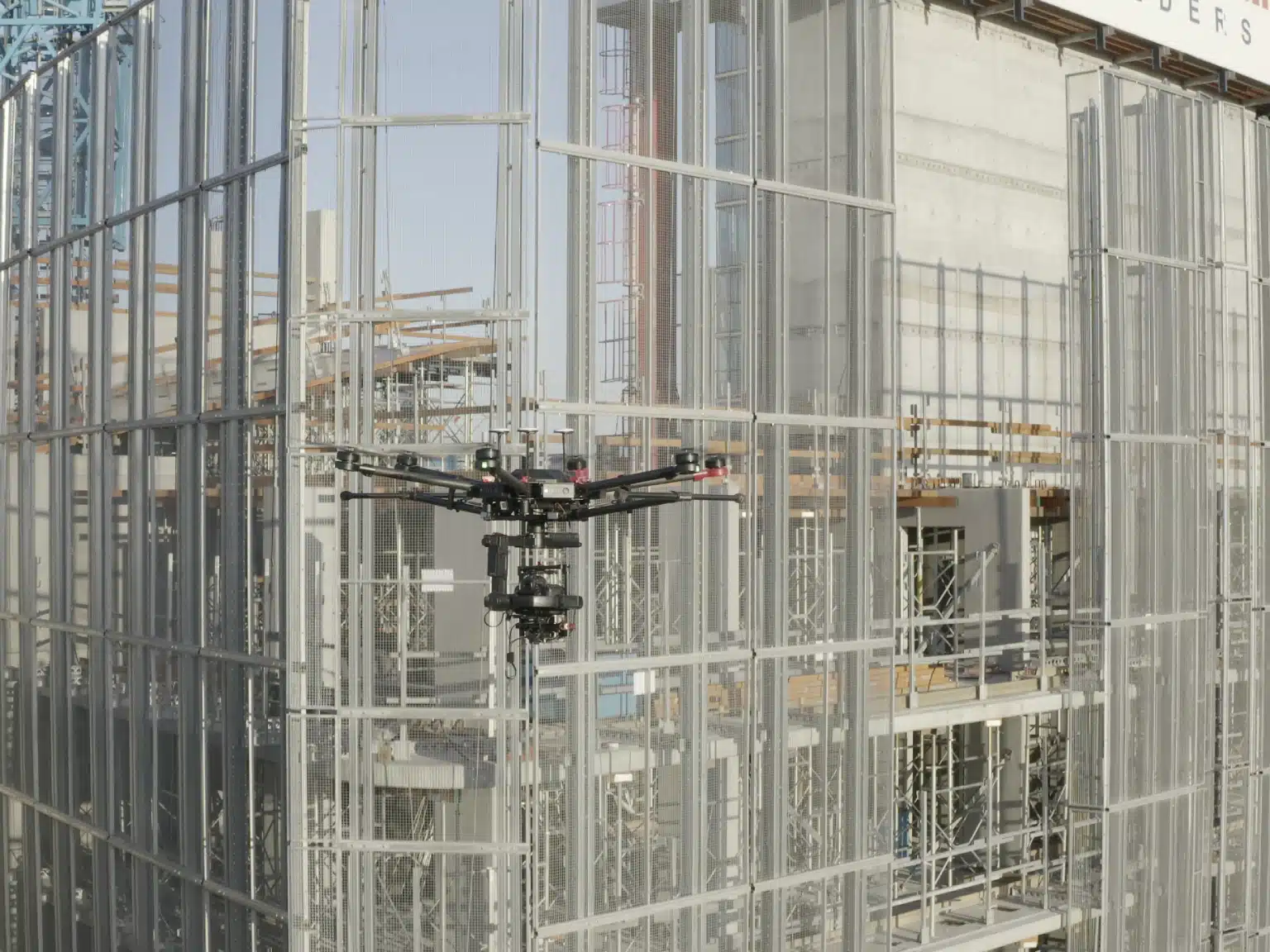
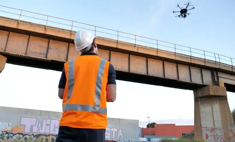
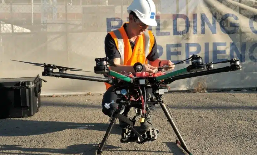
Drone Surveying In Architecture For 3D Digital Visualisation
Drones are pretty much everywhere these days. You can find them hovering over construction sites, mine sites, quarries, forests, high-rise buildings and wedding ceremonies.These little flying machines are the new buzz of the decade. And it's high time that Architects joined the hype-train. Drones for 3D architectural visualisation have changed the
How Are Drones Used For Underground Mineral Surveying?
Professionals working in the Australian mining sector have quickly realized how drones are a game changer. Drones add significant value to the mining industry in terms of data accuracy, site efficiency and worksite safety. With drones, site engineers can capture both terrain and subterranean information deep underground, to give an accurate
What Are Ground Control Points (GCPs) In Drone Mapping?
Using a drone for topographical mapping (also known as contour mapping) is still a new technology for aerial asset inspections. But if you’re familiar with drone mapping, then you’ve probably heard of GCP or ground control points. Using GCPs for drone mapping can improve survey accuracy and the quality of your
How Do You Inspect A Building Using A Drone?
Visual inspections have been an important part of both commercial and domestic projects. And regular roof inspections help building owners and managers with property management and maintenance. Traditionally, these inspections were quite expensive and time consuming. And not to mention, drone inspections can be dangerous as you have to walk along slippery
Everything You Need To Know About Lidar Drone Surveying
Lidar drone surveying has been around for a while, gaining a lot of prominence in the AEC industry.Lidar drone surveys are also known as aerial/airborne laser scanning or lidar mapping and refers to the use of drones to mount Lidar sensors for terrain mapping and modelling.Invented sometime in the early
How Accurate Is A Drone Survey?
How accurate is a drone survey? This is perhaps one of the most common question we get from our clients. A construction site is a world unto itself with so many contractors doing different things every minute its hard to keep track of who’s who in the zoo.On a typical day
5 Innovative Ways to Use Drones for Road Construction
To an outsider, road construction might look deceptively simple. Surely, it cannot be as complicated as designing a multi-storey building or developing an industrial site or building large infrastructure right? Talk to any civil engineer and you’ll uncover a wide range of technical and practical aspects that impact road construction projects. Like any