Drones are pretty much everywhere these days. You can find them hovering over construction sites, mine sites, quarries, forests, high-rise buildings and wedding ceremonies.
These little flying machines are the new buzz of the decade. And it’s high time that Architects joined the hype-train.
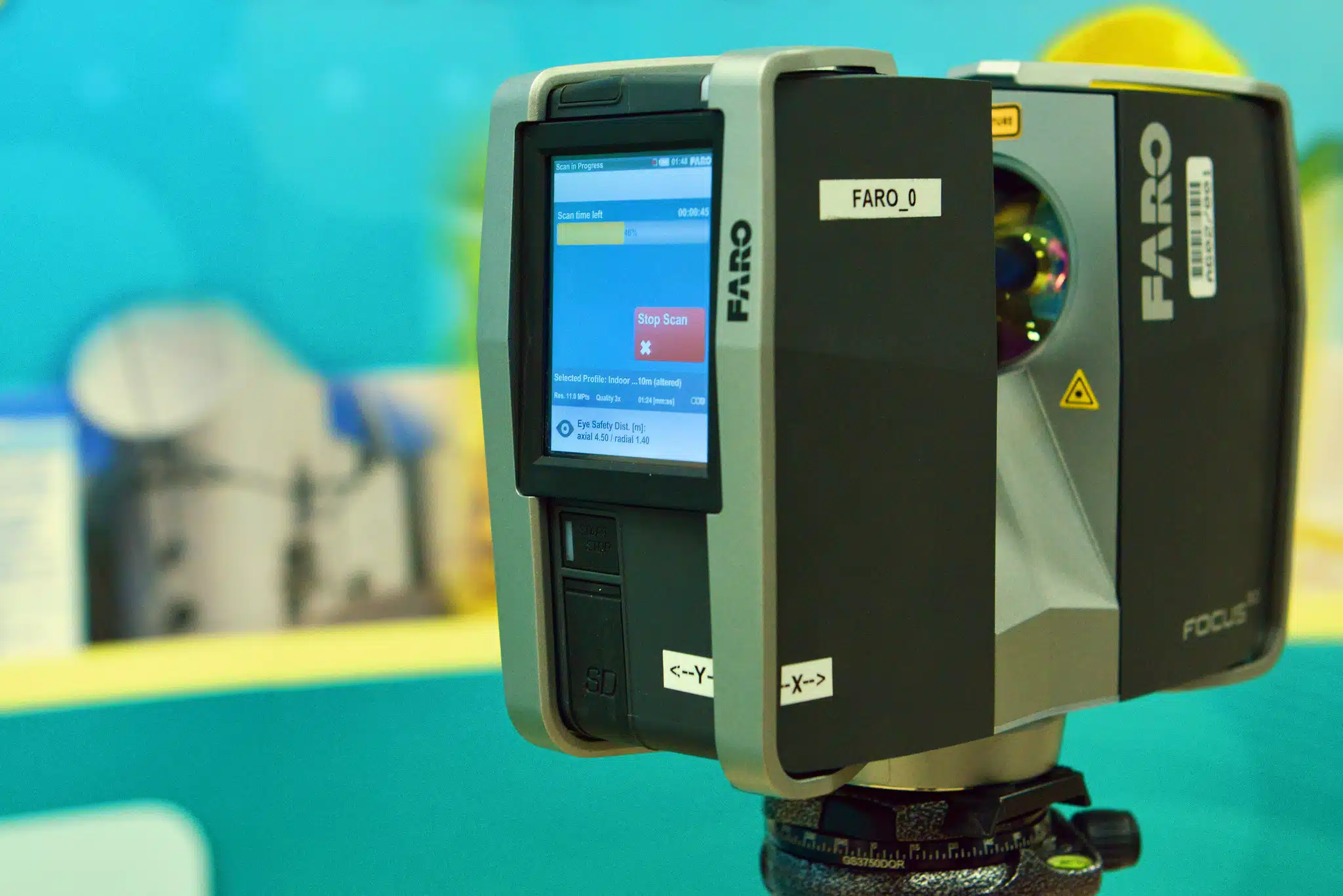
Drones for 3D architectural visualisation have changed the way architects draw up and design plans, submit planning applications, visualise the project with clients and market their work to new prospects.
Of course, the presence of drones doesn’t avoid the value of having on-site managers and engineers. But it does assist with key decision making throughout the entire process.
Drones bring a completely different perspective and gather information that takes time and in some cases, you simply cannot capture without one. It challenges architects to think outside the box and come up with new and innovative ways to manage a client scope and project.
Drone surveying in architecture is a total gamechanger! Let me illustrate this by listing down a few more benefits below:
Table of Contents
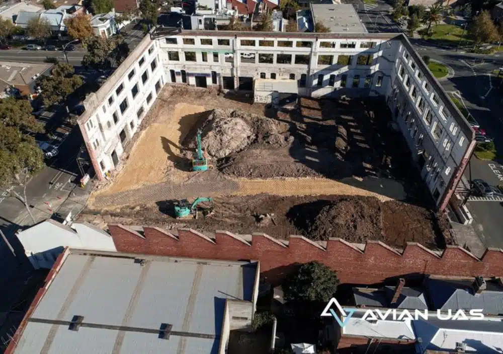
Our Project Portfolio
A few of our past projects from our years of experience of working with 100+ clients in AEC Industry carrying out 3D Laser Scanning, modelling, volumetric calculations, aerial inspections, mapping & contour surveys, aerial land surveying, photomontage and much more.
Drone surveying in architecture is a great strategy to market a project or design in an impressive way. This helps architects build an impressive portfolio with the best representation of your projects. You can now use high resolution images and aerial footage to capture and present the best of your work.
Showcasing these projects to potential investors and clients, ensures that you get more of the work you love to do.
You can even use drones to capture periodic project updates for your clients to keep them engaged throughout the build process.
Architectural Rendering
Drone surveying in architecture is not limited to capturing marketing materials. They can also help to capture the raw data and convert it to different formats like 3D models and maps.
These maps can be used for town planning or traffic engineering while the 3D models are used for design, modification or even to showcase the built design to future clients.
And lucky for you, most drones are compatible with your existing project management systems. You don’t have to tweak your workflow to incorporate drones anymore.
Pricing packages to suit your business
Plans with inclusions for Drone Inspection, Land Surveying, 3D Laser Scanning, Drone Photography & Videography. Get custom quote for your specific requirement.
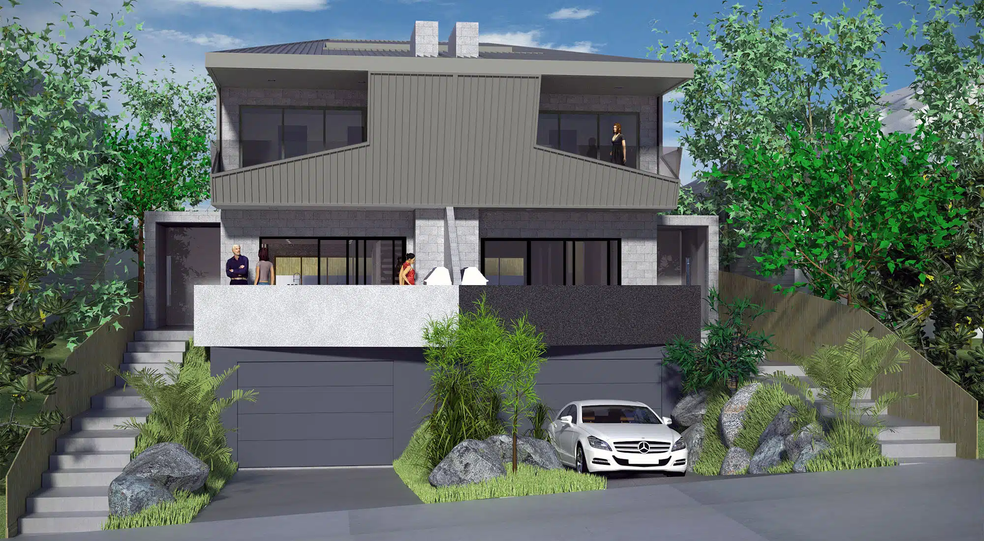
Architectural visualisations, or architectural rendering, allows the architect to add elements to the design before it’s even built. This gives clients a view of the inside and outside of the building, without it even being built yet.
With drones you can enable others to see the attributes of a proposed design without having to use too much vivid imagination!
It also allows you to capture real aerial images of the project location and surroundings to better integrate architectural visualisations. This is especially important with town planning applications.
Worksite Assessment
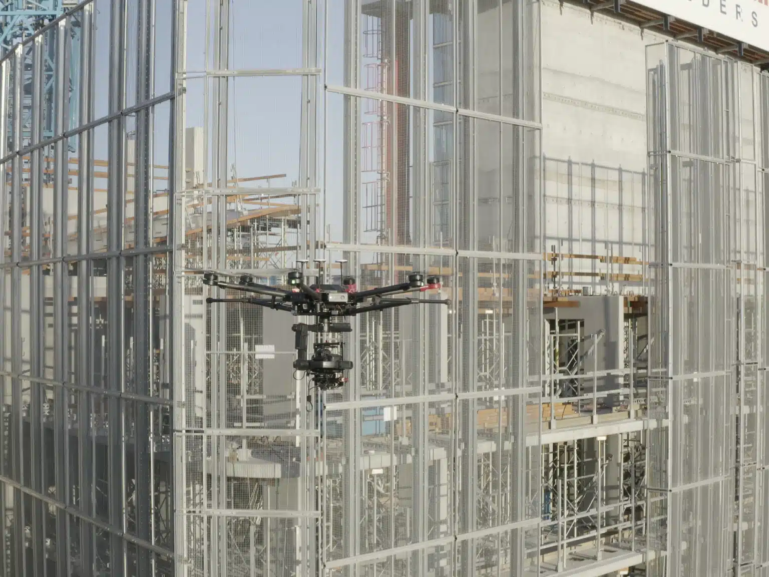
Project Managers often have to pay regular visits to the worksite to ensure that everything is going as per the plan.
With drones you don’t have to exert all that effort. These excellent flying machines can do some of the work for you.
Drones not only capture progress of the site, but also the contractors working their shifts and each stage of completed works. This can help with sites that are based across a city, state or country.
Imagine getting a weekly update on projects, with real-time information, all from the comfort of your desktop computer!
Because drones are such small machines, they can easily observe a site without anyone even knowing it. This means, you can monitor materials deliveries, key installations or contractors works onsite. Its even more useful when you finish the build to inspect rooftops, gutterlines, inspect the underside of awnings or underneath balconies and other spaces around the property easily and quickly to ensure the completed works are of acceptable quality standard.
Hire the Best Drone Professionals
Do you want to use drones to optimise the full potential for your next project? We can help.
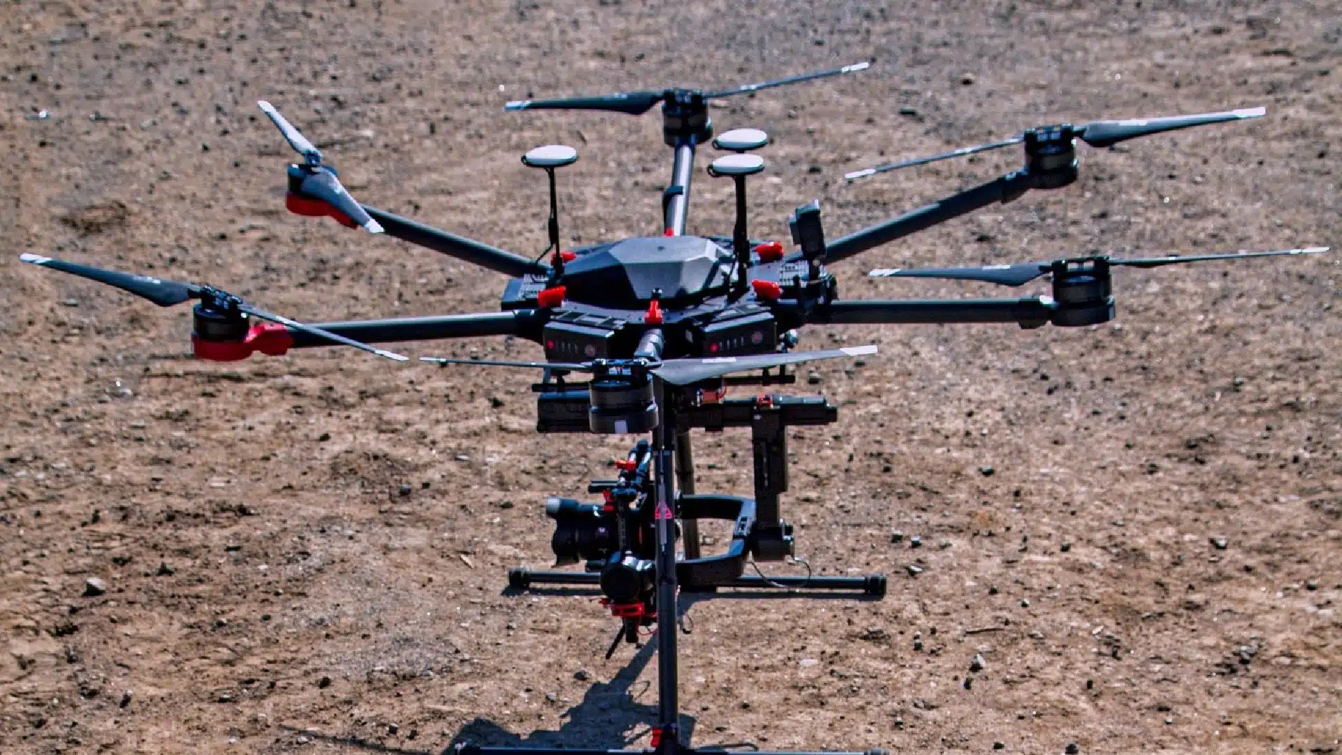
At Avian, we have a team of the best drone professionals in Australia trained to handle complex projects from the AEC sector. From selecting the most optimal technologies to recording precise datasets and can be used to create meaningful data and information.
Book an appointment with us today and let us take your projects to the next level!
Have a question for us ?
Our team is eagerly waiting to know about your queries. Please call us at the number below during business hours and our team will help you out.