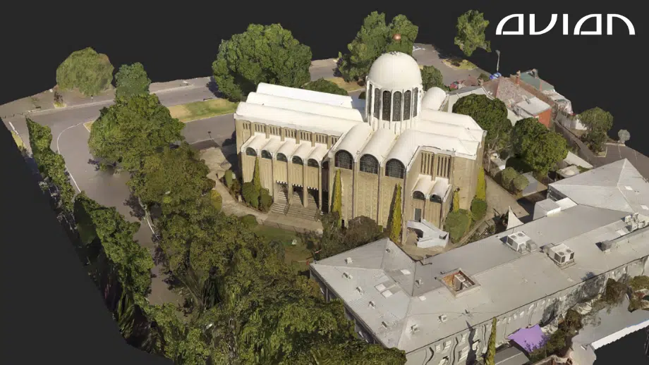
Photogrammetry Costing Guide To Measure Buildings [Updated 2023]
Aerial surveying (Drone Surveying, Drone Mapping) has become quite popular over the past decade, thanks to the rapid rise of drones, LiDAR scanners, RTK GNSS Rovers, Robotic Total Stations and other advanced surveying tools. In this blog, we will cover in detail about photogrammetry cost estimates for surveying buildings in Australia. Drones and LiDAR scanners
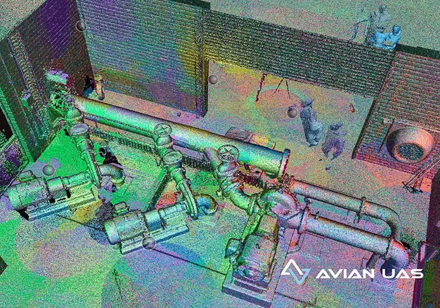
Revolutionising Construction – The Benefits of 3D Laser Scanning and As-Built Surveys
In the world of construction, accuracy and efficiency are two key factors that determine the success of a project. With the advent of 3D laser scanning technology, as-built surveys have become more accurate, efficient and faster than ever before. In this article, we will discuss the benefits of 3D laser
Ultimate Guide to CASA Drone Rules in Australia 2022
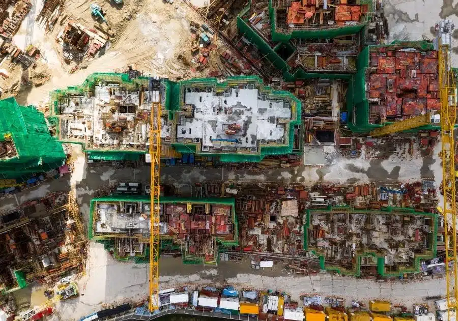
Commercial drones have become a standard surveying tool in the field of architecture, engineering, and construction in Australia. The construction industry in particular has historically been the fastest growing commercial adopter of drones ahead of mining and agriculture. ABS innovation data highlighted that 15.5% of businesses in construction introduced a new
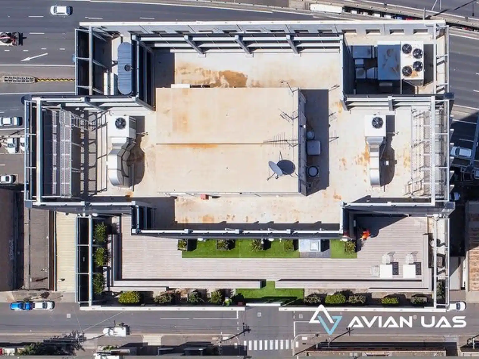
What are Feature Surveys? How do drones deliver them faster?
It is no simple feat to construct a building from the ground up or renovate an existing property. There is much thought and meticulous planning that goes on behind the scenes. Feature surveys and boundary (or investigation) surveys are among the first steps land surveyors take to get accurate site dimensions and
Why You Should Never Search for “Land surveyors near me” on Google?
The reason why is much simpler than you might think. When you search on Google with the query - “land surveyors near me” you are asking for the top 3 Google business listings which are closest to your present location. They are ranked by Google using a list of key attributes of
10 Pros & Cons of Unmanned Aerial Systems (UAV) for Surveying & Mapping
Drones have been around for a while now, used actively in the AEC (Architecture, Engineering & Construction) industry for surveying and aerial mapping, site and asset inspections, drone photography for project marketing and more. These flying cameras are accessible, convenient, and a great alternative to manual site inspections or helicopters. Table
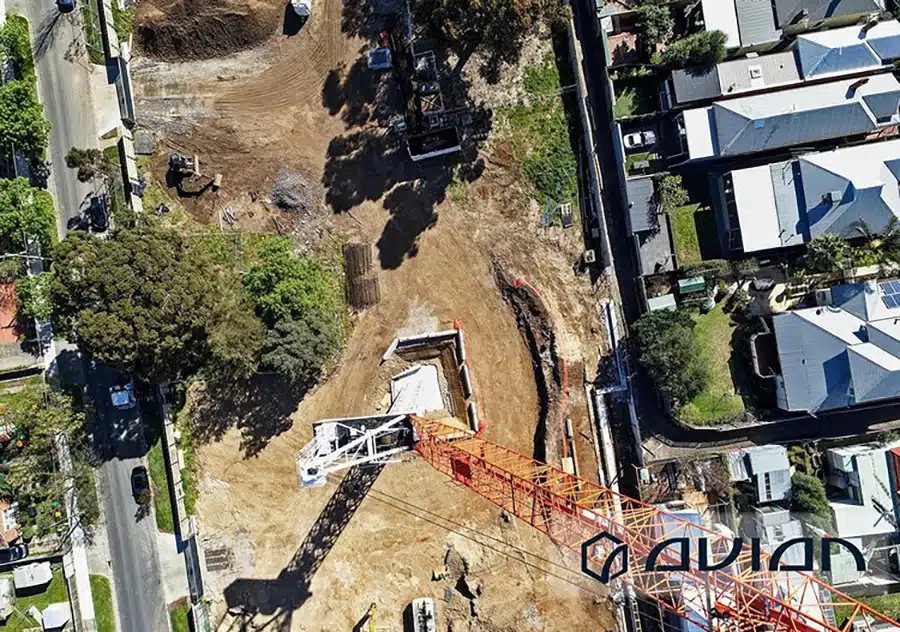
9 Ways Drones can help Builders with Construction Surveys
Builders and on-site engineers complete many activities before actual construction work begins. Land surveyors use set surveys to check if the on-paper design translates to the actual position on the ground. Construction Surveys involve transferring the design of the building to the land so that builders can construct the building in the
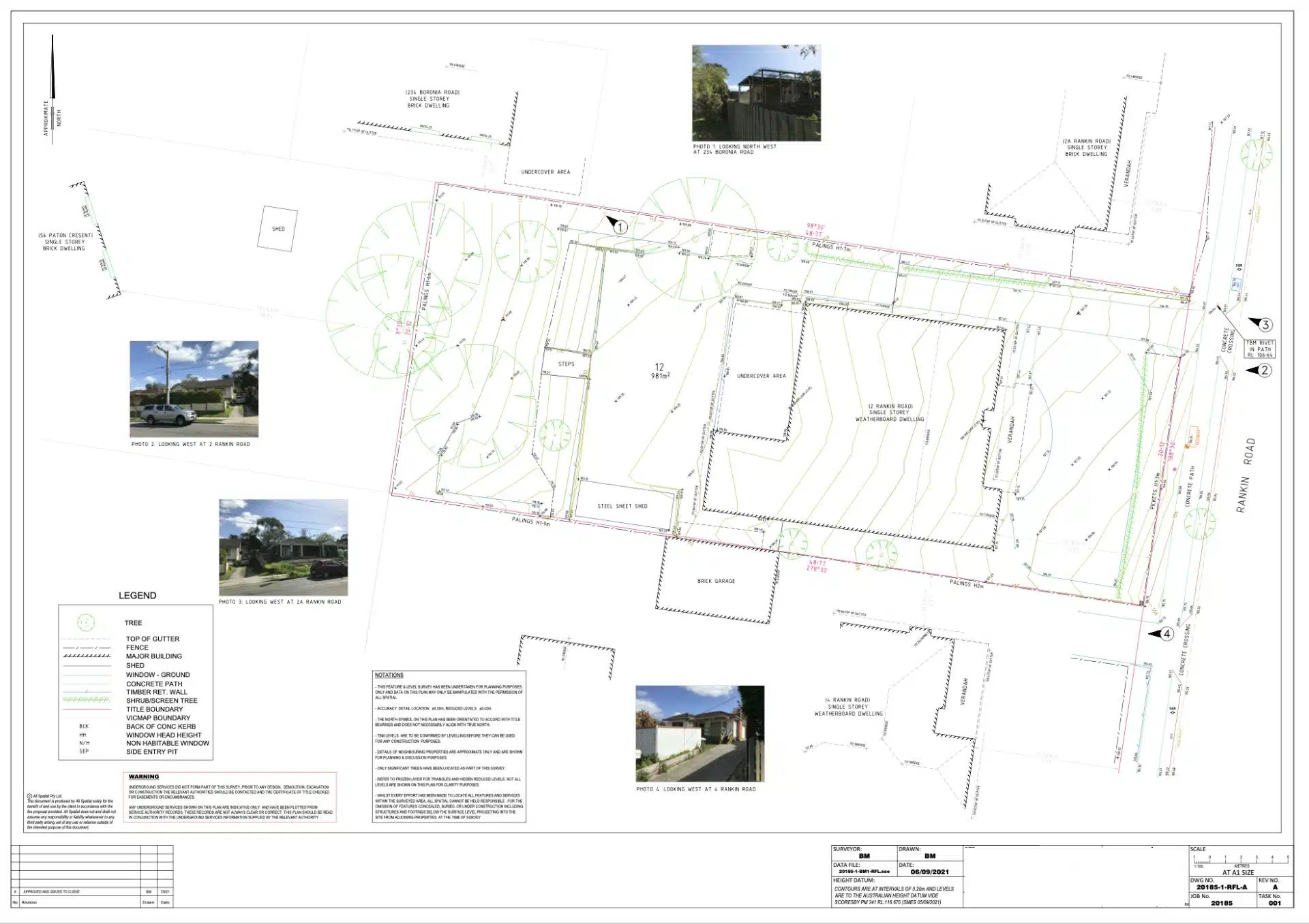
Topographical Surveys Using Drones
Drones are still considered a reasonably unconventional choice among surveyors regarding topographical and feature surveys. Most construction companies and builders prefer the traditional method of hiring a land surveyor to walk around the property, taking measurements along the way. The trouble with this ‘boots on the ground’ approach is that it
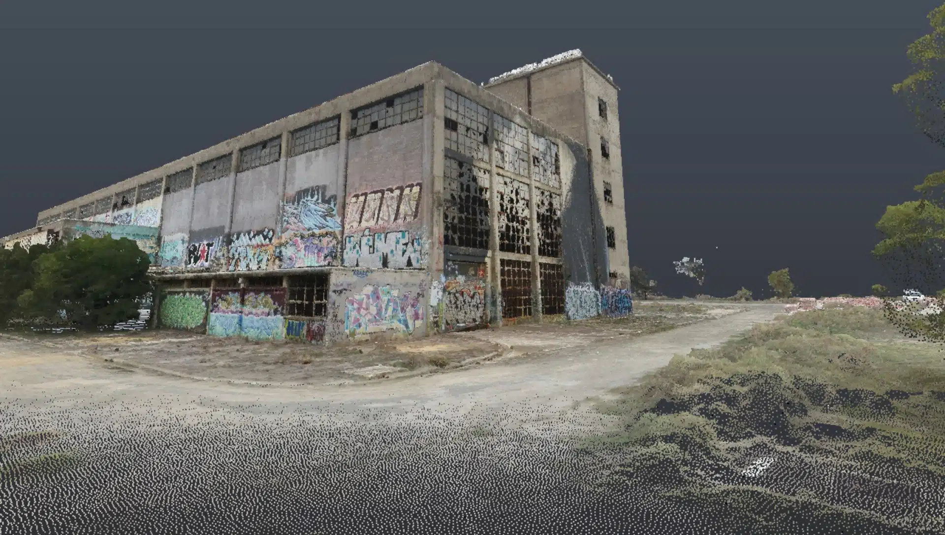
Commercial Dilapidation Surveys Using Drones
Drone inspections are an efficient, cost-effective and safer alternative to manual inspections on buildings, roofing, bridges and towers. Plus, drone inspections can provide insights into the existing conditions that a traditional inspection could overlook. According to an article on building inspections by Houspect Victoria “Building inspections using drones eliminates most of the
5 Costly and Shocking Mistakes during Aerial Surveying and Mapping using Drones
Aerial surveying using drones is a game changer for architecture, engineering and construction (AEC) companies. Every aerial survey and mapping project aims to collect site data and generate 2D or 3D maps and 3D digital models that fulfill the accuracy standards of both surveyors and engineers. And as useful as drone