Category: Drone Mapping
10 Pros & Cons of Unmanned Aerial Systems (UAV) for Surveying & Mapping
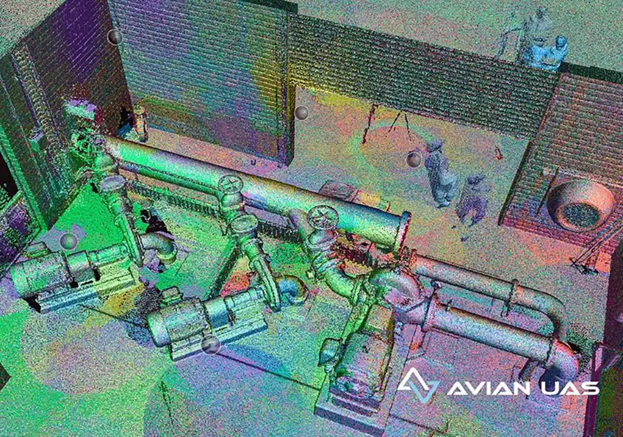
February 28th, 2022 by avianDrones have been around for a while now, used actively in the AEC (Architecture, Engineering & Construction) industry for surveying and aerial mapping, site and asset inspections, drone photography for project marketing and more. These flying cameras are accessible, convenient, and a great alternative to manual site inspections or helicopters. […]
Read More
5 Costly and Shocking Mistakes during Aerial Surveying and Mapping using Drones
December 20th, 2021 by avianAerial surveying using drones is a game changer for architecture, engineering and construction (AEC) companies. Every aerial survey and mapping project aims to collect site data and generate 2D or 3D maps and 3D digital models that fulfill the accuracy standards of both surveyors and engineers. And as useful as […]
Read More
What Are Ground Control Points (GCPs) In Drone Mapping?
June 21st, 2021 by Chris PatchellUsing a drone for topographical mapping (also known as contour mapping) is still a new technology for aerial asset inspections. But if you’re familiar with drone mapping, then you’ve probably heard of GCP or ground control points. Using GCPs for drone mapping can improve survey accuracy and the quality of […]
Read More
5 Innovative Ways to Use Drones for Road Construction
May 24th, 2021 by Chris PatchellTo an outsider, road construction might look deceptively simple. Surely, it cannot be as complicated as designing a multi-storey building or developing an industrial site or building large infrastructure right? Talk to any civil engineer and you’ll uncover a wide range of technical and practical aspects that impact road construction […]
Read More